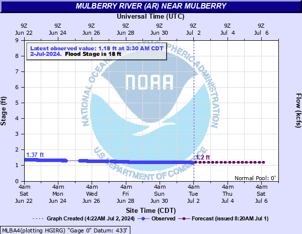
Mulberry River (AR) near Mulberry
Critical Stages
10' - Action
18' - Flood
20' - Moderate
22' - Major
Latest Observation
Updated: 8:30 PM CST 12/14/25
Status: No Flooding
Stage: 1.54 ft
Flow: 0.124 kcfs
Forecast
| Time | Stage (ft) | Flow (kcfs) |
|---|---|---|
| 12 AM 12/15 | 1.5 | 0.112 |
| 6 AM 12/15 | 1.5 | 0.112 |
| 12 PM 12/15 | 1.5 | 0.112 |
| 6 PM 12/15 | 1.5 | 0.112 |
| 12 AM 12/16 | 1.5 | 0.112 |
| 6 AM 12/16 | 1.5 | 0.112 |
| 12 PM 12/16 | 1.5 | 0.112 |
| 6 PM 12/16 | 1.5 | 0.112 |
| 12 AM 12/17 | 1.5 | 0.112 |
| 6 AM 12/17 | 1.5 | 0.112 |
| 12 PM 12/17 | 1.5 | 0.112 |
| 6 PM 12/17 | 1.5 | 0.112 |
| 12 AM 12/18 | 1.5 | 0.112 |
| 6 AM 12/18 | 1.5 | 0.112 |
| 12 PM 12/18 | 1.5 | 0.112 |
| 6 PM 12/18 | 1.5 | 0.112 |
| 12 AM 12/19 | 1.4 | 0.0847 |
| 6 AM 12/19 | 1.4 | 0.0847 |
| Time | Stage (ft) | Flow (kcfs) |
|---|---|---|
| 9:30 PM 12/14 | 0.63 | 0.0003 |
| 9:15 PM 12/14 | 0.94 | 0.013 |
| 9:00 PM 12/14 | 1.27 | 0.055 |
| 8:45 PM 12/14 | 1.54 | 0.124 |
| 8:30 PM 12/14 | 1.54 | 0.124 |
| 8:15 PM 12/14 | 1.52 | 0.118 |
| 8:00 PM 12/14 | 1.54 | 0.124 |
| 7:45 PM 12/14 | 1.53 | 0.121 |
| 7:30 PM 12/14 | 1.53 | 0.121 |
| 7:15 PM 12/14 | 1.56 | 0.13 |
| 7:00 PM 12/14 | 1.52 | 0.118 |
| 6:45 PM 12/14 | 1.53 | 0.121 |
| 6:30 PM 12/14 | 1.56 | 0.13 |
| 6:15 PM 12/14 | 1.55 | 0.127 |
| 6:00 PM 12/14 | 1.54 | 0.124 |
| 5:45 PM 12/14 | 1.56 | 0.13 |
| 5:30 PM 12/14 | 1.55 | 0.127 |
| 5:15 PM 12/14 | 1.54 | 0.124 |
| 5:00 PM 12/14 | 1.55 | 0.127 |
| 4:45 PM 12/14 | 1.55 | 0.127 |
| 4:30 PM 12/14 | 1.55 | 0.127 |
| 4:15 PM 12/14 | 1.56 | 0.13 |
| 4:00 PM 12/14 | 1.54 | 0.124 |
| 3:45 PM 12/14 | 1.55 | 0.127 |
| 3:30 PM 12/14 | 1.53 | 0.121 |
| 3:15 PM 12/14 | 1.53 | 0.121 |
| 3:00 PM 12/14 | 1.56 | 0.13 |
| 2:45 PM 12/14 | 1.55 | 0.127 |
| 2:30 PM 12/14 | 1.55 | 0.127 |
| 2:15 PM 12/14 | 1.54 | 0.124 |
24' -
highest stage of record was 23.66 feet in December 1982. Statistically, this is approximately a one percent annual chance flood event. The river is very swift. This is an extremely dangerous and life threatening situation.
22' -
much of the low lying ground along the Mulberry River within the Arkansas River Valley will be impacted. County roads near the river may be inundated. The river is very swift. This is an extremely dangerous and life threatening situation.
20' -
numerous county roads and bridges are inundated and possibly damaged by swift currents.
18' -
agricultural and timber lands along the left bank and in the vicinity of the gage begin to flood. The first 7 miles of the river are subject to backwater flooding from the Arkansas River. Mulberry and the area south of I-40 can be affected. The river is swift and dangerous.
16' -
agricultural and timber lands along the left bank and in the vicinity of the gage are threatened. The first several miles of the river are subject to backwater flooding from the Arkansas River. Mulberry and the area south of I-40 are threatened. The river is swift and dangerous.
14' -
no flooding occurs but the river is swift and dangerous. Backwater from the Arkansas River may affect low lying areas near the first few miles of the Mulberry River.
12' -
no flooding occurs but the river is swift and dangerous. Backwater from the Arkansas River may affect low lying areas near the first few miles of the Mulberry River.
10' -
no flooding occurs but the river is swift and dangerous. Backwater from the Arkansas River may affect low lying areas near the first few miles of the Mulberry River.
| Date | Stage (ft) |
|---|---|
| Dec 3, 1982 | 23.66 |
| Dec 15, 1927 | 22 |
| Feb 23, 1985 | 21.9 |
| May 3, 1990 | 21.48 |
| Nov 25, 1973 | 21.34 |
| Nov 5, 2024 | 20.66 |
| Mar 18, 2008 | 20.57 |
| Dec 10, 1971 | 20.51 |
| Apr 23, 2004 | 20.02 |
| Nov 19, 1985 | 19.79 |
| Apr 15, 1945 | 19.7 |
| Jan 24, 1949 | 18.6 |
| Apr 29, 2021 | 18.54 |
| Oct 30, 2009 | 18.38 |
| Jun 17, 2000 | 18.31 |
| May 10, 1943 | 18.23 |
| Jan 4, 1993 | 18.06 |
| Jan 30, 1969 | 17.93 |
| Dec 28, 2015 | 17.92 |
| Apr 8, 2002 | 17.86 |
Data provided by the National Weather Service.