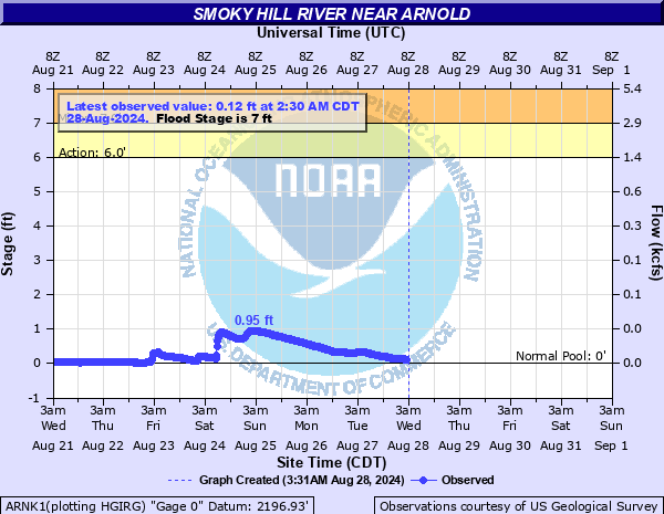
Smoky Hill River near Arnold
Critical Stages
6' - Action
7' - Flood
9' - Moderate
11' - Major
Latest Observation
Updated: 4:30 AM CST 12/16/25
Status: No Flooding
Stage: 0.29 ft
Flow: 0.0004 kcfs
Forecast
Forecast not available for this location.
| Time | Stage (ft) | Flow (kcfs) |
|---|---|---|
| 4:30 AM 12/16 | 0.29 | 0.0004 |
| 4:15 AM 12/16 | 0.29 | 0.0004 |
| 4:00 AM 12/16 | 0.29 | 0.0004 |
| 3:45 AM 12/16 | 0.29 | 0.0004 |
| 3:30 AM 12/16 | 0.29 | 0.0004 |
| 3:15 AM 12/16 | 0.28 | 0.0001 |
| 3:00 AM 12/16 | 0.28 | 0.0001 |
| 2:45 AM 12/16 | 0.28 | 0.0001 |
| 2:30 AM 12/16 | 0.28 | 0.0001 |
| 2:15 AM 12/16 | 0.29 | 0.0004 |
| 2:00 AM 12/16 | 0.29 | 0.0004 |
| 1:45 AM 12/16 | 0.29 | 0.0004 |
| 1:30 AM 12/16 | 0.29 | 0.0004 |
| 1:15 AM 12/16 | 0.29 | 0.0004 |
| 1:00 AM 12/16 | 0.29 | 0.0004 |
| 12:45 AM 12/16 | 0.29 | 0.0004 |
| 12:30 AM 12/16 | 0.29 | 0.0004 |
| 12:15 AM 12/16 | 0.29 | 0.0004 |
| 12:00 AM 12/16 | 0.29 | 0.0004 |
| 11:45 PM 12/15 | 0.29 | 0.0004 |
| 11:30 PM 12/15 | 0.29 | 0.0004 |
| 11:15 PM 12/15 | 0.29 | 0.0004 |
| 11:00 PM 12/15 | 0.29 | 0.0004 |
| 10:45 PM 12/15 | 0.29 | 0.0004 |
| 10:30 PM 12/15 | 0.29 | 0.0004 |
| 10:15 PM 12/15 | 0.29 | 0.0004 |
| 10:00 PM 12/15 | 0.3 | 0.001 |
| 9:45 PM 12/15 | 0.3 | 0.001 |
| 9:30 PM 12/15 | 0.3 | 0.001 |
| 9:15 PM 12/15 | 0.29 | 0.0004 |
11' -
Prepare for major flooding along the Smoky Hill River from the confluence of Hackberry Creek to U.S. Highway 283. Expect north bank overflows of up to four feet or more, and south bank overflows of up to one foot.
10.5' -
Prepare for north bank overflows of 3 feet or more along the Smoky Hill River from the confluence of Hackberry Creek to U.S. Highway 283. South bank overflows are now beginning to occur as well.
9' -
Prepare for moderate north bank overflows of 2 feet or more along the Smoky Hill River from the confluence of Hackberry Creek to U.S. Highway 283.
7' -
Expect minor north bank flooding of up to one foot along the Smoky Hill River from the confluence of Hackberry Creek and the Smoky Hill River to east of U.S. Highway 283.
| Date | Stage (ft) |
|---|---|
| May 30, 1938 | 19 |
| Jun 17, 1955 | 11.55 |
| Jul 11, 1972 | 9.6099996566772 |
| Jul 25, 1973 | 9.3699998855591 |
| Jun 9, 1962 | 8.960000038147 |
| Jun 14, 2007 | 8.41 |
| Aug 24, 1969 | 8.3800001144409 |
| Jul 20, 1993 | 7.95 |
| Jun 8, 1975 | 7.95 |
| Sep 16, 1962 | 7.9400000572205 |
| Jun 29, 1967 | 7.6900000572205 |
| Oct 18, 1965 | 7.6700000762939 |
| Jun 15, 1964 | 7.6500000953674 |
| Jun 19, 2018 | 7.46 |
| Sep 21, 1963 | 7.4400000572205 |
| Aug 24, 2012 | 7.44 |
| Jun 30, 2014 | 7.22 |
| Apr 23, 2010 | 7.06 |
| May 4, 1987 | 6.8400001525879 |
| Sep 13, 2001 | 6.84 |
Data provided by the National Weather Service.