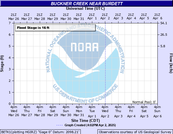
Buckner Creek near Burdett
Critical Stages
15' - Action
16' - Flood
21' - Moderate
25' - Major
Latest Observation
Updated: 6:09 PM LMT 12/31/00
Status: Obs Not Current
Stage: -999 ft
Flow: -999 kcfs
Forecast
Forecast not available for this location.
Observation history not available.
22.9' -
Expect floodwaters to be about one foot deep on Road 232 bridge near the gage site.
21.7' -
Expect moderate flooding up to 5 feet or more along the lower terraces of Buckner Creek. Move livestock well away from the main channel. The Creekside Cemetery Road along Buckner Creek north of Gray will become inundated by two or more feet of water. Northeast 232 Road and bridge which crosses Buckner Creek north of Gray will become flooded as the river stage passes 21.7 feet.
19' -
Prepare for first terrace overflows up to 3 feet along the banks of the Buckner Creek. Move livestock away from the main channel. The Creekside Cemetery Road along Buckner Creek north of Gray will become flooded at a stage of 19 feet. The cities of Jetmore and Hanston are not in any immediate danger from this forecasted rise along Buckner Creek.
16' -
Expect minor first terrace overflows along both banks of the Buckner Creek. For safety, move livestock away from the immediate vicinity of the creek.
| Date | Stage (ft) |
|---|---|
| Jul 13, 2007 | 24.8 |
| Nov 17, 1996 | 24.39 |
| Sep 20, 1996 | 24.09 |
| May 10, 2019 | 20 |
| Aug 22, 2006 | 19.23 |
| Oct 27, 1997 | 19.04 |
| Jul 8, 2010 | 15.9 |
| Jun 1, 2001 | 14.96 |
| Sep 13, 2003 | 13.18 |
| Aug 14, 2002 | 10.22 |
| Aug 6, 1999 | 8.39 |
| Jul 23, 2000 | 8.16 |
| Aug 4, 2004 | 4.71 |
Data provided by the National Weather Service.