« Back to Amherst Junction Rivers
Wisconsin River at Rothschild
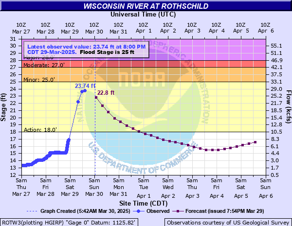
Critical Stages
18' - Action
25' - Flood
27' - Moderate
28' - Major
Latest Observation
Updated: 2:00 PM CST 12/15/25
Status: No Flooding
Stage: 13.87 ft
Flow: 2.78 kcfs
Forecast
Forecast not available for this location.
| Time | Stage (ft) | Flow (kcfs) |
|---|---|---|
| 2:00 PM 12/15 | 13.87 | 2.78 |
| 1:55 PM 12/15 | 13.85 | 2.75 |
| 1:50 PM 12/15 | 13.84 | 2.74 |
| 1:45 PM 12/15 | 13.81 | 2.69 |
| 1:40 PM 12/15 | 13.78 | 2.65 |
| 1:35 PM 12/15 | 13.75 | 2.61 |
| 1:30 PM 12/15 | 13.7 | 2.55 |
| 1:25 PM 12/15 | 13.68 | 2.52 |
| 1:20 PM 12/15 | 13.64 | 2.47 |
| 1:15 PM 12/15 | 13.58 | 2.39 |
| 1:10 PM 12/15 | 13.58 | 2.39 |
| 1:05 PM 12/15 | 13.58 | 2.39 |
| 1:00 PM 12/15 | 13.58 | 2.39 |
| 12:55 PM 12/15 | 13.58 | 2.39 |
| 12:50 PM 12/15 | 13.58 | 2.39 |
| 12:45 PM 12/15 | 13.58 | 2.39 |
| 12:40 PM 12/15 | 13.58 | 2.39 |
| 12:35 PM 12/15 | 13.58 | 2.39 |
| 12:30 PM 12/15 | 13.58 | 2.39 |
| 12:25 PM 12/15 | 13.58 | 2.39 |
| 12:20 PM 12/15 | 13.58 | 2.39 |
| 12:15 PM 12/15 | 13.58 | 2.39 |
| 12:10 PM 12/15 | 13.58 | 2.39 |
| 12:05 PM 12/15 | 13.58 | 2.39 |
| 12:00 PM 12/15 | 13.58 | 2.39 |
| 11:55 AM 12/15 | 13.58 | 2.39 |
| 11:50 AM 12/15 | 13.57 | 2.38 |
| 11:45 AM 12/15 | 13.57 | 2.38 |
| 11:40 AM 12/15 | 13.57 | 2.38 |
| 11:35 AM 12/15 | 13.57 | 2.38 |
30' -
Up to a foot of water is covering portions of Business 51 between Imperial and Schmidt Avenues. Between 1 to 2 feet are covering several businesses along Business 51 in Rothschild.
29.5' -
About 6 inches of water is covering portions of Business Highway 51 between Schmidt and Imperial Avenues in Rothschild.
29' -
Floodwaters approach Business 51 between Imperial Avenue and Schmidt Avenue. Up to a foot of water is covering a parking lot of a business between Business 51 and the Wisconsin River. Water is approaching some buildings east of business Highway 51.
28' -
Floodwaters approach a business between Business Highway 51 and the Wisconsin River in Rothschild.
27.5' -
Floodwaters approach low-lying areas around homes and businesses along highway 51.
25' -
A public boat landing on the west side of the river is covered with water.
23' -
Water may be approaching structures adjacent to the river.
20.5' -
There is widespread lowland flooding.
18' -
There is minor lowland flooding.
12.5' -
Submerged objects may become hazardous to boaters.
| Date | Stage (ft) |
|---|---|
| Sep 1, 1941 | 32.3 |
| Sep 24, 2010 | 29.46 |
| Apr 18, 2019 | 29.18 |
| Jun 14, 1990 | 28.29 |
| Apr 11, 2011 | 28.17 |
| Mar 17, 2016 | 28.16 |
| Sep 28, 1986 | 27.96 |
| Jun 21, 1993 | 27.48 |
| Mar 31, 1976 | 27.37 |
| Sep 22, 1980 | 26.89 |
| Apr 6, 1997 | 26.73 |
| Mar 7, 1983 | 26.42 |
| Apr 13, 2023 | 26.1 |
| Oct 13, 1986 | 25.96 |
| Apr 20, 1996 | 25.92 |
| May 19, 2017 | 25.84 |
| May 12, 2003 | 25.54 |
| Apr 13, 2002 | 25.35 |
| Mar 30, 2020 | 25.34 |
| Apr 13, 2001 | 25.2 |
Data provided by the National Weather Service.