« Back to Amherst Junction Rivers
Big Eau Pleine River near Stratford
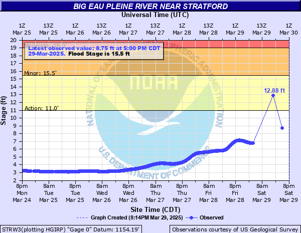
Critical Stages
11' - Action
15.5' - Flood
19' - Moderate
22.5' - Major
Latest Observation
Updated: 2:00 PM CST 12/15/25
Status: No Flooding
Stage: 2.63 ft
Flow: 0.0315 kcfs
Forecast
Forecast not available for this location.
| Time | Stage (ft) | Flow (kcfs) |
|---|---|---|
| 2:00 PM 12/15 | 2.63 | 0.0315 |
| 1:55 PM 12/15 | 2.62 | 0.0306 |
| 1:50 PM 12/15 | 2.62 | 0.0306 |
| 1:45 PM 12/15 | 2.62 | 0.0306 |
| 1:40 PM 12/15 | 2.62 | 0.0306 |
| 1:35 PM 12/15 | 2.62 | 0.0306 |
| 1:30 PM 12/15 | 2.62 | 0.0306 |
| 1:25 PM 12/15 | 2.62 | 0.0306 |
| 1:20 PM 12/15 | 2.62 | 0.0306 |
| 1:15 PM 12/15 | 2.62 | 0.0306 |
| 1:10 PM 12/15 | 2.62 | 0.0306 |
| 1:05 PM 12/15 | 2.62 | 0.0306 |
| 1:00 PM 12/15 | 2.62 | 0.0306 |
| 12:55 PM 12/15 | 2.62 | 0.0306 |
| 12:50 PM 12/15 | 2.62 | 0.0306 |
| 12:45 PM 12/15 | 2.62 | 0.0306 |
| 12:40 PM 12/15 | 2.62 | 0.0306 |
| 12:35 PM 12/15 | 2.62 | 0.0306 |
| 12:30 PM 12/15 | 2.62 | 0.0306 |
| 12:25 PM 12/15 | 2.62 | 0.0306 |
| 12:20 PM 12/15 | 2.62 | 0.0306 |
| 12:15 PM 12/15 | 2.62 | 0.0306 |
| 12:10 PM 12/15 | 2.62 | 0.0306 |
| 12:05 PM 12/15 | 2.62 | 0.0306 |
| 12:00 PM 12/15 | 2.62 | 0.0306 |
| 11:55 AM 12/15 | 2.62 | 0.0306 |
| 11:50 AM 12/15 | 2.62 | 0.0306 |
| 11:45 AM 12/15 | 2.62 | 0.0306 |
| 11:40 AM 12/15 | 2.62 | 0.0306 |
| 11:35 AM 12/15 | 2.62 | 0.0306 |
21' -
Floodwaters may cover portions of County Road M...Balsam Road and Eau Pleine Road. Several feet of floodwaters are surrounding some homes and structures.
19' -
The water current is dangerous. Floodwaters may be surrounding some structures.
15.5' -
Flooding affects mainly agricultural land. Some cottages may be affected by water on the western end of the Big Eau Pleine Reservoir...or about 5 miles downstream of the gauge on Highway 97.
13' -
There is widespread lowland flooding. The river current is strong.
11' -
There is minor lowland flooding.
| Date | Stage (ft) |
|---|---|
| Sep 9, 1938 | 24.5 |
| Jun 5, 1914 | 24 |
| Jun 6, 1980 | 23.47 |
| Aug 31, 1945 | 22.2 |
| Jun 27, 1943 | 20.5 |
| Mar 31, 1967 | 20.36 |
| Sep 23, 2010 | 19.87 |
| May 16, 1968 | 19.01 |
| Sep 26, 1972 | 18.91 |
| Apr 11, 1965 | 18.43 |
| Jun 22, 2002 | 17.98 |
| Jun 22, 2002 | 17.89 |
| Sep 5, 2018 | 17.4 |
| Apr 1, 1952 | 17.31 |
| Jun 13, 1990 | 17.25 |
| Mar 27, 1989 | 17.1 |
| Apr 18, 2019 | 17.02 |
| Apr 9, 1971 | 16.85 |
| Jun 20, 1993 | 16.78 |
| Sep 2, 1964 | 16.75 |
Data provided by the National Weather Service.