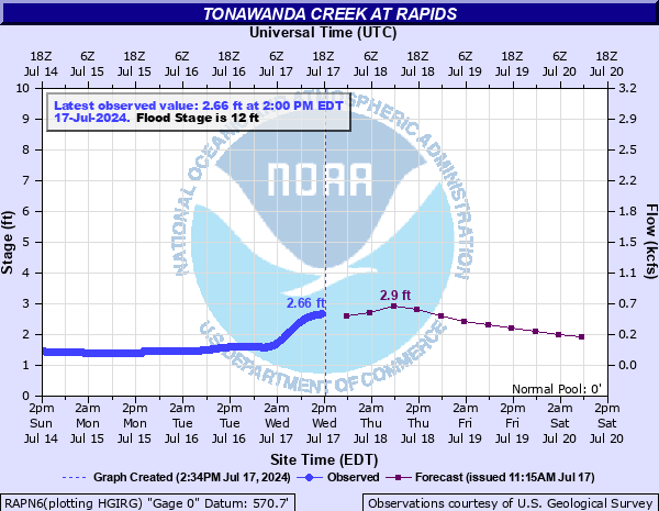
Tonawanda Creek at Rapids
Critical Stages
10' - Action
12' - Flood
14' - Moderate
16' - Major
Latest Observation
Updated: 2:00 AM EST 12/15/25
Status: No Flooding
Stage: 1.55 ft
Flow: 0.099 kcfs
Forecast
| Time | Stage (ft) | Flow (kcfs) |
|---|---|---|
| 7 AM 12/15 | 1.4 | 0.069 |
| 1 PM 12/15 | 1.4 | 0.069 |
| 7 PM 12/15 | 1.4 | 0.069 |
| 1 AM 12/16 | 1.4 | 0.069 |
| 7 AM 12/16 | 1.4 | 0.069 |
| 1 PM 12/16 | 1.4 | 0.069 |
| 7 PM 12/16 | 1.4 | 0.069 |
| 1 AM 12/17 | 1.4 | 0.069 |
| 7 AM 12/17 | 1.4 | 0.069 |
| Time | Stage (ft) | Flow (kcfs) |
|---|---|---|
| 2:00 AM 12/15 | 1.55 | 0.099 |
| 1:45 AM 12/15 | 1.55 | 0.099 |
| 1:30 AM 12/15 | 1.55 | 0.099 |
| 1:15 AM 12/15 | 1.55 | 0.099 |
| 1:00 AM 12/15 | 1.55 | 0.099 |
| 12:45 AM 12/15 | 1.55 | 0.099 |
| 12:30 AM 12/15 | 1.55 | 0.099 |
| 12:15 AM 12/15 | 1.56 | 0.101 |
| 12:00 AM 12/15 | 1.56 | 0.101 |
| 11:45 PM 12/14 | 1.56 | 0.101 |
| 11:30 PM 12/14 | 1.56 | 0.101 |
| 11:15 PM 12/14 | 1.56 | 0.101 |
| 11:00 PM 12/14 | 1.56 | 0.101 |
| 10:45 PM 12/14 | 1.56 | 0.101 |
| 10:30 PM 12/14 | 1.57 | 0.104 |
| 10:15 PM 12/14 | 1.57 | 0.104 |
| 10:00 PM 12/14 | 1.57 | 0.104 |
| 9:45 PM 12/14 | 1.57 | 0.104 |
| 9:30 PM 12/14 | 1.57 | 0.104 |
| 9:15 PM 12/14 | 1.57 | 0.104 |
| 9:00 PM 12/14 | 1.57 | 0.104 |
| 8:45 PM 12/14 | 1.57 | 0.104 |
| 8:30 PM 12/14 | 1.58 | 0.106 |
| 8:15 PM 12/14 | 1.58 | 0.106 |
| 8:00 PM 12/14 | 1.58 | 0.106 |
| 7:45 PM 12/14 | 1.58 | 0.106 |
| 7:30 PM 12/14 | 1.58 | 0.106 |
| 7:15 PM 12/14 | 1.58 | 0.106 |
| 7:00 PM 12/14 | 1.59 | 0.109 |
| 6:45 PM 12/14 | 1.58 | 0.106 |
16' -
Major flood, considerable residential flooding in most of North Clarence, North Amherst, Royalton, and Newstead. Widespread road closures. Ransom Oaks area in East Amherst is inundated with backwater into Ransom, Mud, Beeman, and other small creeks. Residential flooding and widespread road closures along the creek from North Amherst to the Alabama Swamps. Widespread farmland flooding.
14' -
Moderate flood, some residential flooding with widespread road closures in North Clarence, east into Newstead and Royalton. Water begins to back up into smaller creeks such as Ransom, Black, Beeman, Gott, and Mud Creeks. Flooding in some low lying areas along Tonawanda Creek Road, Rapids Road, and Wolcott Road, with widespread farmland flooding.
12' -
Flood stage, lowland flooding of farm areas along Tonawanda Creek between Rapids and the Tonawanda Indian Reservation. Flooding may impact Fletcher, Burdick, Kelkenberg, and Tonawanda Creek Roads.
10' -
Action stage, some impact to low lying roads along Royalton and Newstead border, possibly impacting Fletcher, Kelkenberg, and Burdick Roads.
| Date | Stage (ft) |
|---|---|
| Apr 1, 1960 | 16.96 |
| Feb 26, 1985 | 16.38 |
| Mar 7, 1979 | 15.91 |
| Jan 25, 1957 | 15.46 |
| Jan 10, 1998 | 15.33 |
| Mar 20, 1963 | 15.32 |
| Mar 10, 1956 | 15.2 |
| Dec 24, 2013 | 15.13 |
| Jan 22, 1986 | 15 |
| Mar 17, 1982 | 14.78 |
| Dec 30, 2008 | 14.73 |
| Apr 2, 1993 | 14.61 |
| Feb 16, 1984 | 14.54 |
| Feb 15, 2009 | 14.38 |
| Mar 17, 2007 | 14.17 |
| Feb 21, 1981 | 14.1 |
| Feb 21, 2022 | 13.93 |
| Jan 22, 1996 | 13.86 |
| Apr 5, 2005 | 13.79 |
| Mar 20, 2003 | 13.74 |
Data provided by the National Weather Service.