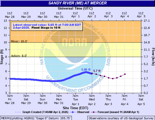
Sandy River (ME) at Mercer
Critical Stages
8' - Action
10' - Flood
14' - Moderate
16' - Major
Latest Observation
Updated: 10:00 PM EST 12/7/25
Status: No Flooding
Stage: 3.33 ft
Flow: 0.272 kcfs
Forecast
| Time | Stage (ft) | Flow (kcfs) |
|---|---|---|
| 1 AM 12/8 | 3.2 | 0.218 |
| 7 AM 12/8 | 3.2 | 0.218 |
| 1 PM 12/8 | 3.2 | 0.218 |
| 7 PM 12/8 | 3.2 | 0.218 |
| 1 AM 12/9 | 3.2 | 0.218 |
| 7 AM 12/9 | 3.2 | 0.218 |
| 1 PM 12/9 | 3.2 | 0.218 |
| 7 PM 12/9 | 3.2 | 0.218 |
| 1 AM 12/10 | 3.2 | 0.218 |
| 7 AM 12/10 | 3.2 | 0.218 |
| Time | Stage (ft) | Flow (kcfs) |
|---|---|---|
| 10:00 PM 12/7 | 3.33 | 0.272 |
| 9:45 PM 12/7 | 3.34 | 0.277 |
| 9:30 PM 12/7 | 3.34 | 0.277 |
| 9:15 PM 12/7 | 3.35 | 0.281 |
| 9:00 PM 12/7 | 3.36 | 0.286 |
| 8:45 PM 12/7 | 3.36 | 0.286 |
| 8:30 PM 12/7 | 3.37 | 0.291 |
| 8:15 PM 12/7 | 3.38 | 0.295 |
| 8:00 PM 12/7 | 3.38 | 0.295 |
| 7:45 PM 12/7 | 3.38 | 0.295 |
| 7:30 PM 12/7 | 3.39 | 0.3 |
| 7:15 PM 12/7 | 3.39 | 0.3 |
| 7:00 PM 12/7 | 3.4 | 0.305 |
| 6:45 PM 12/7 | 3.4 | 0.305 |
| 6:30 PM 12/7 | 3.41 | 0.31 |
| 6:15 PM 12/7 | 3.41 | 0.31 |
| 6:00 PM 12/7 | 3.42 | 0.315 |
| 5:45 PM 12/7 | 3.42 | 0.315 |
| 5:30 PM 12/7 | 3.43 | 0.32 |
| 5:15 PM 12/7 | 3.43 | 0.32 |
| 5:00 PM 12/7 | 3.43 | 0.32 |
| 4:45 PM 12/7 | 3.44 | 0.325 |
| 4:30 PM 12/7 | 3.44 | 0.325 |
| 4:15 PM 12/7 | 3.44 | 0.325 |
| 4:00 PM 12/7 | 3.44 | 0.325 |
| 3:45 PM 12/7 | 3.44 | 0.325 |
| 3:30 PM 12/7 | 3.44 | 0.325 |
| 3:15 PM 12/7 | 3.44 | 0.325 |
| 3:00 PM 12/7 | 3.44 | 0.325 |
| 2:45 PM 12/7 | 3.44 | 0.325 |
19' -
Approaching levels seen during the historical 1987 flood. Significant property damage between Farmington and New Sharon. Hundreds of acres of farmland flooded in Mercer and Starks.
18' -
Route 2 bridge in New Sharon flooded. Starks Road to Glen Harris Road flooded in New Sharon.
17' -
Level comparable with December 2023. Dozens of properties between Farmington and New Sharon flooded. Access in and out of the region limited due to flooded bridges. Floodwaters several feet deep in Farmington along Main Street and Front Street.
16' -
Major flooding occurs. Flooding impacts homes and businesses from Farmington Falls to Norridgewock. Main Street in Farmington flooded up to to 4 feet depth.
15' -
Starks Road in New Sharon flooded. Water enters businesses on Main Street in Farmington.
14' -
Moderate flooding occurs. Businesses inundated along Main Street in Farmington south of the University. Floodwaters encroach on homes along East Sandy River Road in Mercer.
13' -
Flood waters encroach on properties along Front Street and Main Street in Farmington. Extensive flooding of recreational fields occurs. The flood extent along East Sandy River Road in Mercer cuts off access to multiple homes.
12' -
Flooding of Prescott Field and Hippach Field in Farmington, and low land pasture flooding downstream.
10' -
Minor flooding occurs on George Thomas Road in New Sharon. Floodwaters can encroach on low lying portion of West and East Sandy River Road in Mercer due to culverts backing up under certain conditions. Locals are advised to find alternate routes.
8' -
The river is at bankfull in low lying areas, some erosion may occur.
| Date | Stage (ft) |
|---|---|
| Apr 1, 1987 | 19.25 |
| Dec 19, 2023 | 17.35 |
| Mar 19, 1936 | 16.75 |
| Mar 28, 1953 | 16.34 |
| Mar 13, 1936 | 15.85 |
| Dec 28, 1969 | 14.65 |
| May 2, 2023 | 14.62 |
| May 2, 2023 | 14.62 |
| Mar 18, 1973 | 14.52 |
| Feb 6, 1946 | 14.47 |
| Jun 15, 1998 | 14.2 |
| Mar 28, 1945 | 14.2 |
| Feb 15, 1937 | 13.95 |
| Apr 4, 2005 | 13.73 |
| Dec 22, 1973 | 13.63 |
| Jan 10, 1978 | 13.5 |
| Apr 28, 1979 | 13.48 |
| May 13, 1989 | 13.33 |
| Dec 2, 1996 | 13.3 |
| Dec 18, 2003 | 13.03 |
Data provided by the National Weather Service.