Chena River near Two Rivers
Critical Stages
18.5' - Action
20' - Flood
22' - Moderate
Major
Latest Observation
Updated: 2:00 PM LMT 1/1/01
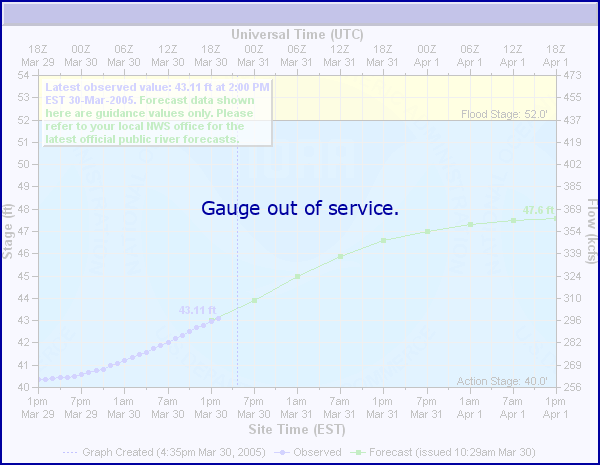
Status: Out Of Service
Stage: -999 ft
Flow: -999 kcfs
Forecast
Forecast not available for this location.
| Time | Stage (ft) | Flow (kcfs) |
|---|---|---|
| 12:00 PM 11/21 | -9999 | -999 |
| 11:45 AM 11/21 | -9999 | -999 |
| 11:30 AM 11/21 | -9999 | -999 |
| 10:30 AM 11/21 | -9999 | -999 |
| 10:15 AM 11/21 | -9999 | -999 |
| 10:00 AM 11/21 | -9999 | -999 |
| 9:45 AM 11/21 | -9999 | -999 |
| 9:30 AM 11/21 | -9999 | -999 |
| 9:15 AM 11/21 | -9999 | -999 |
| 9:00 AM 11/21 | -9999 | -999 |
| 8:45 AM 11/21 | -9999 | -999 |
| 8:30 AM 11/21 | -9999 | -999 |
| 8:15 AM 11/21 | -9999 | -999 |
| 8:00 AM 11/21 | -9999 | -999 |
| 7:45 AM 11/21 | -9999 | -999 |
| 7:30 AM 11/21 | -9999 | -999 |
| 7:15 AM 11/21 | -9999 | -999 |
| 7:00 AM 11/21 | -9999 | -999 |
| 6:45 AM 11/21 | -9999 | -999 |
| 6:30 AM 11/21 | -9999 | -999 |
| 6:15 AM 11/21 | -9999 | -999 |
| 6:00 AM 11/21 | -9999 | -999 |
| 5:45 AM 11/21 | -9999 | -999 |
| 5:30 AM 11/21 | -9999 | -999 |
| 5:15 AM 11/21 | -9999 | -999 |
| 5:00 AM 11/21 | -9999 | -999 |
| 4:45 AM 11/21 | -9999 | -999 |
| 4:30 AM 11/21 | -9999 | -999 |
| 4:15 AM 11/21 | -9999 | -999 |
| 4:00 AM 11/21 | -9999 | -999 |
19.9' -
Impacts are along Chena Hot Springs Road (CHSR). All impacts from stages of 18.79 and 18.40 are more severe, plus: Water flowing over road at mi 36.9 (6-10" deep), Granite Tors, Stiles Creek and low lying areas are flooded. (6/6/13)
18.8' -
Impacts are along Chena Hot Springs Road (CHSR). All impacts from a stage of 18.40 are more severe, plus: River access at 28 mi closed, water flowing over road at 36.9 mi (6" deep, 40-50 ft wide), west end of Granite Tors Parking Lot begins to flood, Stiles Creek trailhead and campground become unusable. (5/26/13)
18.4' -
Impacts along Chena Hot Springs Road (CHSR): Rosehip Campground closed (27 mi.), river access at mi 28 closed, Compeau trailhead flooded but usable (29.9 mi.), Water beginning to pond on upstream side of CHSR at mi 36.9, and Stiles Creek shooting range flooded. (5/25/13)
| Date | Stage (ft) |
|---|---|
| Aug 13, 1967 | 26.6 |
| Jun 26, 1994 | 23.65 |
| Jul 28, 2003 | 23.56 |
| Jun 27, 1995 | 22.84 |
| Jun 20, 2014 | 22.07 |
| Jun 3, 1992 | 22.04 |
| May 12, 2020 | 21.42 |
| Aug 14, 2000 | 21.34 |
| Aug 18, 2002 | 21.26 |
| Aug 1, 2016 | 21.18 |
| May 3, 2009 | 21.17 |
| May 12, 1975 | 21.05 |
| Aug 22, 1986 | 20.71 |
| Aug 28, 2015 | 20.48 |
| Jun 1, 2023 | 20.45 |
| Jun 6, 2013 | 20.44 |
| May 26, 2012 | 20.42 |
| Apr 29, 1997 | 20.42 |
| Jun 26, 1989 | 20.33 |
| Jul 31, 2008 | 20.31 |
Data provided by the National Weather Service.