Shiawassee River near Fergus
Critical Stages
Action
Flood
Moderate
Major
Latest Observation
Updated: 12:30 PM EST 12/16/25
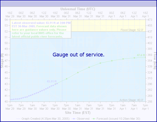
Status: Out Of Service
Stage: 2.37 ft
Flow: 0.19 kcfs
Forecast
Forecast not available for this location.
| Time | Stage (ft) | Flow (kcfs) |
|---|---|---|
| 12:30 PM 12/16 | 2.37 | 0.19 |
| 12:15 PM 12/16 | 2.37 | 0.19 |
| 12:00 PM 12/16 | 2.37 | 0.19 |
| 11:45 AM 12/16 | 2.36 | 0.189 |
| 11:30 AM 12/16 | 2.36 | 0.189 |
| 11:15 AM 12/16 | 2.36 | 0.189 |
| 11:00 AM 12/16 | 2.36 | 0.189 |
| 10:45 AM 12/16 | 2.36 | 0.189 |
| 10:30 AM 12/16 | 2.35 | 0.187 |
| 10:15 AM 12/16 | 2.35 | 0.187 |
| 10:00 AM 12/16 | 2.35 | 0.187 |
| 9:45 AM 12/16 | 2.35 | 0.187 |
| 9:30 AM 12/16 | 2.35 | 0.187 |
| 9:15 AM 12/16 | 2.35 | 0.187 |
| 9:00 AM 12/16 | 2.34 | 0.186 |
| 8:45 AM 12/16 | 2.34 | 0.186 |
| 8:30 AM 12/16 | 2.34 | 0.186 |
| 8:15 AM 12/16 | 2.34 | 0.186 |
| 8:00 AM 12/16 | 2.34 | 0.186 |
| 7:45 AM 12/16 | 2.34 | 0.186 |
| 7:30 AM 12/16 | 2.34 | 0.186 |
| 7:15 AM 12/16 | 2.34 | 0.186 |
| 7:00 AM 12/16 | 2.34 | 0.186 |
| 6:45 AM 12/16 | 2.34 | 0.186 |
| 6:30 AM 12/16 | 2.34 | 0.186 |
| 6:15 AM 12/16 | 2.34 | 0.186 |
| 6:00 AM 12/16 | 2.34 | 0.186 |
| 5:45 AM 12/16 | 2.34 | 0.186 |
| 5:30 AM 12/16 | 2.34 | 0.186 |
| 5:15 AM 12/16 | 2.34 | 0.186 |
14.5' -
Considerable agricultural land floods during growing season.
10' -
Overflow of the banks begins with minor flooding of adjacent low lands and agricultural fields during growing season.
| Date | Stage (ft) |
|---|---|
| Mar 29, 1960 | 15.44 |
| Dec 31, 1972 | 14.89 |
| Oct 2, 1981 | 14.84 |
| Dec 29, 2008 | 14.84 |
| Feb 19, 1976 | 14.82 |
| Feb 12, 2009 | 14.07 |
| Feb 19, 1981 | 13.88 |
| Apr 29, 2009 | 13.21 |
| Mar 23, 1978 | 13.08 |
| Jan 27, 1973 | 12.99 |
| Apr 23, 1974 | 12.85 |
| May 25, 2004 | 12.75 |
| Jan 31, 1969 | 12.53 |
| Mar 5, 1976 | 12.52 |
| Feb 11, 2001 | 12.5 |
| Apr 29, 2011 | 12.35 |
| Feb 21, 1994 | 12.3 |
| Apr 17, 1972 | 12.3 |
| May 16, 2011 | 12.11 |
| Mar 5, 2004 | 12.1 |
Data provided by the National Weather Service.