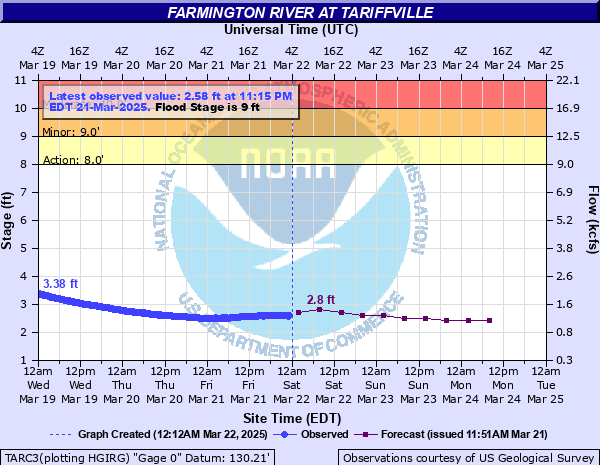
Farmington River at Tariffville
Critical Stages
8' - Action
9' - Flood
10' - Moderate
11' - Major
Latest Observation
Updated: 11:15 AM EST 12/9/25
Status: No Flooding
Stage: 1.61 ft
Flow: 0.587 kcfs
Forecast
| Time | Stage (ft) | Flow (kcfs) |
|---|---|---|
| 1 PM 12/9 | 1.6 | 0.581 |
| 7 PM 12/9 | 1.6 | 0.581 |
| 1 AM 12/10 | 1.6 | 0.581 |
| 7 AM 12/10 | 1.6 | 0.581 |
| 1 PM 12/10 | 1.6 | 0.581 |
| 7 PM 12/10 | 1.6 | 0.581 |
| 1 AM 12/11 | 1.7 | 0.641 |
| 7 AM 12/11 | 1.7 | 0.641 |
| 1 PM 12/11 | 1.8 | 0.704 |
| 7 PM 12/11 | 1.9 | 0.769 |
| 1 AM 12/12 | 1.9 | 0.769 |
| 7 AM 12/12 | 1.9 | 0.769 |
| Time | Stage (ft) | Flow (kcfs) |
|---|---|---|
| 11:15 AM 12/9 | 1.61 | 0.587 |
| 11:00 AM 12/9 | 1.61 | 0.587 |
| 10:45 AM 12/9 | 1.61 | 0.587 |
| 10:30 AM 12/9 | 1.6 | 0.581 |
| 10:15 AM 12/9 | 1.6 | 0.581 |
| 10:00 AM 12/9 | 1.6 | 0.581 |
| 9:45 AM 12/9 | 1.6 | 0.581 |
| 9:30 AM 12/9 | 1.6 | 0.581 |
| 9:15 AM 12/9 | 1.6 | 0.581 |
| 9:00 AM 12/9 | 1.6 | 0.581 |
| 8:45 AM 12/9 | 1.6 | 0.581 |
| 8:30 AM 12/9 | 1.6 | 0.581 |
| 8:15 AM 12/9 | 1.61 | 0.587 |
| 8:00 AM 12/9 | 1.61 | 0.587 |
| 7:45 AM 12/9 | 1.61 | 0.587 |
| 7:30 AM 12/9 | 1.61 | 0.587 |
| 7:15 AM 12/9 | 1.61 | 0.587 |
| 7:00 AM 12/9 | 1.62 | 0.593 |
| 6:45 AM 12/9 | 1.62 | 0.593 |
| 6:30 AM 12/9 | 1.62 | 0.593 |
| 6:15 AM 12/9 | 1.63 | 0.599 |
| 6:00 AM 12/9 | 1.63 | 0.599 |
| 5:45 AM 12/9 | 1.64 | 0.605 |
| 5:30 AM 12/9 | 1.64 | 0.605 |
| 5:15 AM 12/9 | 1.64 | 0.605 |
| 5:00 AM 12/9 | 1.65 | 0.611 |
| 4:45 AM 12/9 | 1.65 | 0.611 |
| 4:30 AM 12/9 | 1.65 | 0.611 |
| 4:15 AM 12/9 | 1.66 | 0.617 |
| 4:00 AM 12/9 | 1.66 | 0.617 |
12' -
This is a serious flood event. Homes and businesses along the river from the Tarriffville area downstream should expect flooding. Should evacuations become necessary, act quickly and follow the directions of your local emergency management officials.
10' -
Flooding of the lowest lying areas along the Farmington River at and below Tariffville is expected.
9' -
Flooding of the lowest lying areas along the Farmington River at and below Tariffville is expected.
| Date | Stage (ft) |
|---|---|
| Aug 19, 1955 | 22.8 |
| Sep 22, 1938 | 14 |
| Mar 23, 1980 | 10.65 |
| Jun 7, 1982 | 10.49 |
| Apr 17, 2007 | 9.99 |
| May 31, 1984 | 9.81 |
| Aug 29, 2011 | 9.67 |
| Apr 6, 1987 | 9.21 |
| Mar 8, 2011 | 9.08 |
| Oct 16, 2005 | 8.62 |
| Jan 29, 1996 | 7.75 |
Data provided by the National Weather Service.