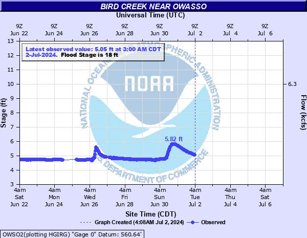
Bird Creek near Owasso
Critical Stages
17' - Action
18' - Flood
20' - Moderate
24' - Major
Latest Observation
Updated: 12:00 PM CST 12/15/25
Status: No Flooding
Stage: 4.62 ft
Flow: 0.131 kcfs
Forecast
Forecast not available for this location.
| Time | Stage (ft) | Flow (kcfs) |
|---|---|---|
| 12:00 PM 12/15 | 4.62 | 0.131 |
| 11:30 AM 12/15 | 4.63 | 0.135 |
| 11:00 AM 12/15 | 4.63 | 0.135 |
| 10:30 AM 12/15 | 4.63 | 0.135 |
| 10:00 AM 12/15 | 4.63 | 0.135 |
| 9:30 AM 12/15 | 4.62 | 0.131 |
| 9:00 AM 12/15 | 4.63 | 0.135 |
| 8:30 AM 12/15 | 4.63 | 0.135 |
| 8:00 AM 12/15 | 4.63 | 0.135 |
| 7:30 AM 12/15 | 4.63 | 0.135 |
| 7:00 AM 12/15 | 4.62 | 0.131 |
| 6:30 AM 12/15 | 4.63 | 0.135 |
| 6:00 AM 12/15 | 4.62 | 0.131 |
| 5:30 AM 12/15 | 4.62 | 0.131 |
| 5:00 AM 12/15 | 4.62 | 0.131 |
| 4:30 AM 12/15 | 4.62 | 0.131 |
| 4:00 AM 12/15 | 4.62 | 0.131 |
| 3:30 AM 12/15 | 4.62 | 0.131 |
| 3:00 AM 12/15 | 4.62 | 0.131 |
| 2:30 AM 12/15 | 4.62 | 0.131 |
| 2:00 AM 12/15 | 4.62 | 0.131 |
| 1:30 AM 12/15 | 4.62 | 0.131 |
| 1:00 AM 12/15 | 4.62 | 0.131 |
| 12:30 AM 12/15 | 4.62 | 0.131 |
| 12:00 AM 12/15 | 4.62 | 0.131 |
| 11:30 PM 12/14 | 4.62 | 0.131 |
| 11:00 PM 12/14 | 4.62 | 0.131 |
| 10:30 PM 12/14 | 4.62 | 0.131 |
| 10:00 PM 12/14 | 4.62 | 0.131 |
| 9:30 PM 12/14 | 4.62 | 0.131 |
31' -
disasterous flooding occurs between north Tulsa and Catoosa. Many homes are severely flooded. Impacts are greater than the flooding which occurred in May 2019. This is an extremely dangerous and life threatening situation.
30' -
disasterous flooding occurs between north Tulsa and Catoosa. Many homes are severely flooded. Impacts are comparable to the flooding which occurred in May 2019. This is an extremely dangerous and life threatening situation.
29' -
disasterous flooding occurs between north Tulsa and Catoosa. Many homes are severely flooded. Impacts are nearing those from the flooding in May 2019. This is an extremely dangerous and life threatening situation.
28' -
disasterous flooding occurs on Bird Creek between north Tulsa and Catoosa. Impacts are comparable to the flooding which occurred on October 1, 1986. This is an extremely dangerous and life threatening situation.
27' -
disastrous flooding extends along Bird Creek from north Tulsa to near Catoosa. Suburban homes between Owasso and north Tulsa are severely flooded. This flood is comparable to the flooding which occurred on May 11, 1993. This is an extremely dangerous and life threatening situation.
26' -
very severe flooding occurs. Some suburban homes between north Tulsa and Owasso are flooded. Mingo Road is flooded. 56th Street North north of Mohawk Park begins to flood. Levees which had protected some agricultural or suburban property may be breached. This is an extremely dangerous and life threatening situation.
25' -
severe flooding occurs in suburban areas between Owasso and northeast Tulsa. Mingo Road is closed. Some suburban homes may be isolated. This is an extremely dangerous and life threatening situation.
24' -
serious overflows along Bird Creek reach into suburban areas south of Owasso. Mingo Road and several roads southwest of Owasso and in the Mohawk Park area are closed. This is an extremely dangerous and life threatening situation.
23' -
extensive flooding occurs in Mohawk Park with access roads covered by high water. Mingo Road between 56th Street North and 76th Street North is closed due to high water.
22' -
extensive flooding of Mohawk Park occurs with access roads impassable. Mingo Road between 56th Street North and 76th Street North is covered by high water.
21' -
widespread flooding occurs in Mohawk Park with access roads flooded near the Oxley Nature Center. Mingo Road near 66th Street may be flooded. 56th Street North near Mingo Road becomes impassable.
20' -
moderate flooding occurs near 56th Street North near Mingo Road. Mingo Road near 66th Street North may become impassable. Access roads near the Oxley Nature Center at Mohawk Park may be flooded.
19' -
minor flooding occurs near Mohawk Park. 56th Street North may be impassable near Mingo Road.
18' -
minor flooding occurs at Mohawk Park and along 56th Street North near Mingo Road.
17' -
faster flows are expected along the river but no flooding occurs. Interests near the river and near Mohawk Park should continue to monitor later forecasts.
| Date | Stage (ft) |
|---|---|
| Oct 25, 1908 | 34 |
| May 23, 1943 | 31.5 |
| Oct 4, 1959 | 30.5 |
| Mar 12, 1974 | 29.5 |
| May 23, 2019 | 29.4 |
| Apr 15, 1927 | 28.5 |
| Oct 1, 1986 | 28.3 |
| May 11, 1993 | 26.94 |
| Apr 15, 1929 | 26.3 |
| Mar 29, 1938 | 26.2 |
| Apr 27, 1999 | 25.6 |
| Oct 8, 1936 | 24.76 |
| Apr 13, 1994 | 24.14 |
| May 1, 1930 | 23.7 |
| May 8, 1995 | 23.6 |
| Dec 28, 2015 | 23.51 |
| Mar 13, 1990 | 23.35 |
| Oct 5, 1998 | 23.1 |
| Jun 11, 1995 | 22.58 |
| Apr 28, 1994 | 22.53 |
Data provided by the National Weather Service.