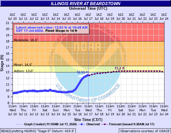
Illinois River at Beardstown
Critical Stages
13' - Action
14' - Flood
18' - Moderate
28' - Major
Latest Observation
Updated: 6:45 AM CST 12/6/25
Status: No Flooding
Stage: 9.65 ft
Flow: 6.89 kcfs
Forecast
| Time | Stage (ft) | Flow (kcfs) |
|---|---|---|
| 12 PM 12/6 | 9.6 | 6.65 |
| 6 PM 12/6 | 9.6 | 6.65 |
| 12 AM 12/7 | 9.6 | 6.65 |
| 6 AM 12/7 | 9.6 | 6.65 |
| 12 PM 12/7 | 9.6 | 6.65 |
| 6 PM 12/7 | 9.6 | 6.65 |
| 12 AM 12/8 | 9.6 | 6.65 |
| 6 AM 12/8 | 9.6 | 6.65 |
| 12 PM 12/8 | 9.6 | 6.65 |
| 6 PM 12/8 | 9.6 | 6.65 |
| 12 AM 12/9 | 9.6 | 6.65 |
| 6 AM 12/9 | 9.5 | 6.18 |
| 12 PM 12/9 | 9.5 | 6.18 |
| 6 PM 12/9 | 9.5 | 6.18 |
| 12 AM 12/10 | 9.5 | 6.18 |
| 6 AM 12/10 | 9.5 | 6.18 |
| 12 PM 12/10 | 9.5 | 6.18 |
| 6 PM 12/10 | 9.5 | 6.18 |
| 12 AM 12/11 | 9.5 | 6.18 |
| 6 AM 12/11 | 9.5 | 6.18 |
| 12 PM 12/11 | 9.5 | 6.18 |
| 6 PM 12/11 | 9.5 | 6.18 |
| 12 AM 12/12 | 9.5 | 6.18 |
| 6 AM 12/12 | 9.5 | 6.18 |
| 12 PM 12/12 | 9.5 | 6.18 |
| 6 PM 12/12 | 9.4 | 5.73 |
| Time | Stage (ft) | Flow (kcfs) |
|---|---|---|
| 6:45 AM 12/6 | 9.65 | 6.89 |
| 6:30 AM 12/6 | 9.68 | 7.04 |
| 6:15 AM 12/6 | 9.68 | 7.04 |
| 6:00 AM 12/6 | 9.69 | 7.09 |
| 5:45 AM 12/6 | 9.67 | 6.99 |
| 5:30 AM 12/6 | 9.67 | 6.99 |
| 5:15 AM 12/6 | 9.67 | 6.99 |
| 5:00 AM 12/6 | 9.66 | 6.94 |
| 4:45 AM 12/6 | 9.63 | 6.79 |
| 4:30 AM 12/6 | 9.65 | 6.89 |
| 4:15 AM 12/6 | 9.66 | 6.94 |
| 4:00 AM 12/6 | 9.66 | 6.94 |
| 3:45 AM 12/6 | 9.63 | 6.79 |
| 3:30 AM 12/6 | 9.66 | 6.94 |
| 3:15 AM 12/6 | 9.67 | 6.99 |
| 3:00 AM 12/6 | 9.65 | 6.89 |
| 2:45 AM 12/6 | 9.65 | 6.89 |
| 2:30 AM 12/6 | 9.64 | 6.84 |
| 2:15 AM 12/6 | 9.67 | 6.99 |
| 2:00 AM 12/6 | 9.64 | 6.84 |
| 1:45 AM 12/6 | 9.64 | 6.84 |
| 1:30 AM 12/6 | 9.66 | 6.94 |
| 1:15 AM 12/6 | 9.7 | 7.15 |
| 1:00 AM 12/6 | 9.65 | 6.89 |
| 12:45 AM 12/6 | 9.63 | 6.79 |
| 12:30 AM 12/6 | 9.67 | 6.99 |
| 12:15 AM 12/6 | 9.53 | 6.31 |
| 12:00 AM 12/6 | 9.67 | 6.99 |
| 11:45 PM 12/5 | 9.67 | 6.99 |
| 11:30 PM 12/5 | 9.67 | 6.99 |
35.1' -
Lost Creek Levee is overtopped.
35' -
Water overtops the seawall in Beardstown and the South Beardstown levee.
31' -
Crane Creek Levee is overtopped.
30' -
Hager Slough is overtopped.
28' -
Portions of Route 100 are closed due to floodwaters. When down, the BNSF railroad bridge across the Illinois River acts as dam. Big Lake levee is overtopped.
27' -
Coal Creek Levee overtops at boat landing. Damage begins at Frederick and Browning.
20' -
Seepage problems begin in the South Beardstown Drainage and Levee District.
18' -
Seepage problems begin in the Lost Creek Drainage and Levee District.
14.4' -
Seepage problems begin in the Coal Creek Drainage and Levee District.
14' -
Minor flooding begins to agricultural areas not protected by levees.
12' -
Pumping begins in drainage and levee districts protecting about 59000 acres.
| Date | Stage (ft) |
|---|---|
| Apr 27, 2013 | 29.81 |
| Jul 2, 2015 | 29.75 |
| May 26, 1943 | 29.6 |
| May 30, 1995 | 29.41 |
| Jan 5, 2016 | 29.23 |
| Jun 3, 2019 | 28.75 |
| May 9, 2019 | 28.74 |
| May 19, 2002 | 28.71 |
| Mar 10, 1985 | 28.5 |
| Apr 18, 1979 | 28.1 |
| Dec 12, 1982 | 27.4 |
| May 22, 2009 | 27.36 |
| Aug 29, 1973 | 27.1 |
| Apr 30, 1973 | 27 |
| May 26, 2020 | 26.66 |
| Jul 28, 1993 | 26.66 |
| Oct 12, 1926 | 26.3 |
| Apr 29, 1944 | 26.2 |
| Jun 29, 1974 | 26.2 |
| Oct 27, 1985 | 25.8 |
Data provided by the National Weather Service.