« Back to Bedford County Rivers
Potomac River at Hancock
Critical Stages
21' - Action
25' - Flood
33' - Moderate
35' - Major
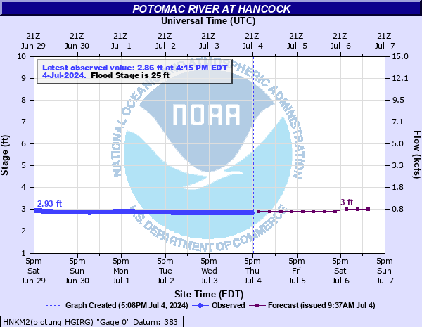
Latest Observation
Updated: 2:15 AM EST 12/15/25
Status: No Flooding
Stage: 2.68 ft
Flow: 0.47 kcfs
Forecast
| Time | Stage (ft) | Flow (kcfs) |
|---|---|---|
| 7 AM 12/15 | 2.9 | 0.645 |
| 1 PM 12/15 | 2.9 | 0.645 |
| 7 PM 12/15 | 2.9 | 0.645 |
| 1 AM 12/16 | 2.9 | 0.645 |
| 7 AM 12/16 | 2.9 | 0.645 |
| 1 PM 12/16 | 2.9 | 0.645 |
| 7 PM 12/16 | 2.9 | 0.645 |
| 1 AM 12/17 | 2.9 | 0.645 |
| 7 AM 12/17 | 2.9 | 0.645 |
| Time | Stage (ft) | Flow (kcfs) |
|---|---|---|
| 2:15 AM 12/15 | 2.68 | 0.47 |
| 2:00 AM 12/15 | 2.7 | 0.485 |
| 1:45 AM 12/15 | 2.71 | 0.492 |
| 1:30 AM 12/15 | 2.72 | 0.5 |
| 1:15 AM 12/15 | 2.74 | 0.515 |
| 1:00 AM 12/15 | 2.75 | 0.522 |
| 12:45 AM 12/15 | 2.76 | 0.53 |
| 12:30 AM 12/15 | 2.77 | 0.538 |
| 12:15 AM 12/15 | 2.78 | 0.546 |
| 12:00 AM 12/15 | 2.8 | 0.562 |
| 11:45 PM 12/14 | 2.81 | 0.57 |
| 11:30 PM 12/14 | 2.82 | 0.578 |
| 11:15 PM 12/14 | 2.83 | 0.586 |
| 11:00 PM 12/14 | 2.84 | 0.594 |
| 10:45 PM 12/14 | 2.84 | 0.594 |
| 10:30 PM 12/14 | 2.84 | 0.594 |
| 10:15 PM 12/14 | 2.84 | 0.594 |
| 10:00 PM 12/14 | 2.84 | 0.594 |
| 9:45 PM 12/14 | 2.84 | 0.594 |
| 9:30 PM 12/14 | 2.84 | 0.594 |
| 9:15 PM 12/14 | 2.84 | 0.594 |
| 9:00 PM 12/14 | 2.85 | 0.602 |
| 8:45 PM 12/14 | 2.85 | 0.602 |
| 8:30 PM 12/14 | 2.85 | 0.602 |
| 8:15 PM 12/14 | 2.85 | 0.602 |
| 8:00 PM 12/14 | 2.85 | 0.602 |
| 7:45 PM 12/14 | 2.85 | 0.602 |
| 7:30 PM 12/14 | 2.85 | 0.602 |
| 7:15 PM 12/14 | 2.85 | 0.602 |
| 7:00 PM 12/14 | 2.85 | 0.602 |
56' -
Water approaches the highest point on Main Street.
46' -
Water floods the railroad depot.
45' -
Floodwater isolates the town of Hancock.
40' -
Water floods 25 to 30 homes along the West Virginia side of the river just downstream from Hancock, and at least another 20 to 30 in Hancock itself.
35' -
Water inundates 20 to 30 homes and 5 or more businesses in the west end of Hancock.
33' -
Water floods low spots on East Main Street in Hancock.
31' -
Water begins to flood low spots of West Main Street in Hancock.
30' -
Water begins to inundate homes and business in Hancock. Water covers the road to the maintenance shop for the National Park Service near Hancock. The west end of the Potomac Airpark runway begins to flood.
28' -
Water begins to inundate some yards on the west end of Hancock. Water also begins to collect on the west end of the CSX Railyard on the West Virginia side.
25' -
Water may begin to inundate low points of the CSX Railroad tracks on the West Virginia side of the river due to backwater. Additionally, access to Potomac Airpark may be restricted due to backwater. Water reaches the top of the Hancock boat ramp and begins to spill over into the adjacent parking lot.
24' -
Water begins to overflow into low lying areas.
21' -
The boat ramp at Four Locks is covered by water. Half the parking lot there is also covered.
18.5' -
Water enters the canal prism and blocks the towpath at MP 106.
7.5' -
The river is at danger level for boaters as defined by the State of Maryland. At these levels, conditions are extremely hazardous.
3.5' -
The river reaches caution level for boaters as defined by the State of Maryland. Fast moving water and changing currents can be expected.
| Date | Stage (ft) |
|---|---|
| Mar 18, 1936 | 47.6 |
| Nov 6, 1985 | 41.2 |
| Jun 1, 1889 | 40 |
| Oct 16, 1942 | 36.63 |
| Jan 20, 1996 | 36.26 |
| Sep 8, 1996 | 35.81 |
| Apr 27, 1937 | 35.7 |
| May 13, 1924 | 35 |
| May 1, 1889 | 34 |
| Mar 30, 1924 | 32.4 |
| Aug 19, 1955 | 32.4 |
| Oct 29, 1937 | 31.8 |
| Jun 23, 1972 | 30.79 |
| Apr 17, 1929 | 30.3 |
| Oct 10, 1976 | 28.56 |
| Mar 8, 1967 | 26.91 |
| Jun 19, 1949 | 26.86 |
| May 9, 1960 | 26.6 |
| Jun 4, 2018 | 26.38 |
| May 15, 2025 | 26.3 |
Data provided by the National Weather Service.