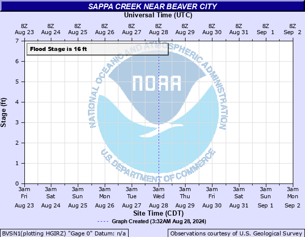
Sappa Creek near Beaver City
Critical Stages
14' - Action
16' - Flood
18' - Moderate
20' - Major
Latest Observation
Updated: 6:09 PM LMT 12/31/00
Status: Obs Not Current
Stage: -999 ft
Flow: -999 kcfs
Forecast
Forecast not available for this location.
Observation history not available.
21' -
Highway 283 south of Beaver City will begin to flood.
20' -
Lowlands outside the town of Beaver City flood from the overflows of the Sappa Creek and Beaver Creek. A record flood of 20.85 feet occurred in June of 1966. In addition, water reaches the bottom of the bridge at the gage site.
18' -
Lowland flooding becomes more widespread.
16' -
The left bank continues to overflow resulting in significant crop and pasture land flooding.
14.5' -
The left bank begins to overflow.
| Date | Stage (ft) |
|---|---|
| Jun 23, 1966 | 20.85 |
| Mar 23, 1960 | 20.03 |
| Aug 6, 1950 | 19.5 |
| Jun 22, 1947 | 19.16 |
| Jul 17, 1944 | 18.7 |
| Jun 15, 1967 | 18.7 |
| Jun 14, 1965 | 18.58 |
| Jun 16, 1957 | 17.78 |
| Jul 16, 1951 | 17.36 |
| Jun 12, 1949 | 17.04 |
| Jun 3, 1937 | 17 |
| Aug 12, 1963 | 16.52 |
| Jul 2, 1946 | 16.31 |
| Jun 10, 1941 | 15.8 |
| Jul 28, 1940 | 15.3 |
| Aug 17, 1954 | 14.58 |
| Apr 30, 1952 | 14.4 |
| May 31, 1953 | 14.34 |
| Jun 13, 1942 | 14.3 |
| Jun 17, 1956 | 14.16 |
Data provided by the National Weather Service.