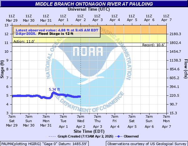
Middle Branch Ontonagon River at Paulding
Critical Stages
11' - Action
12' - Flood
14' - Moderate
16' - Major
Latest Observation
Updated: 7:45 PM EST 12/8/25
Status: No Flooding
Stage: 6.11 ft
Flow: 0.396 kcfs
Forecast
Forecast not available for this location.
| Time | Stage (ft) | Flow (kcfs) |
|---|---|---|
| 7:45 PM 12/8 | 6.11 | 0.396 |
| 7:30 PM 12/8 | 6.12 | 0.398 |
| 7:15 PM 12/8 | 6.06 | 0.386 |
| 7:00 PM 12/8 | 6.07 | 0.388 |
| 6:45 PM 12/8 | 6.08 | 0.39 |
| 6:30 PM 12/8 | 6.09 | 0.392 |
| 6:15 PM 12/8 | 6.09 | 0.392 |
| 6:00 PM 12/8 | 6.1 | 0.394 |
| 5:45 PM 12/8 | 6.1 | 0.394 |
| 5:30 PM 12/8 | 6.1 | 0.394 |
| 5:15 PM 12/8 | 6.11 | 0.396 |
| 5:00 PM 12/8 | 6.11 | 0.396 |
| 4:45 PM 12/8 | 6.11 | 0.396 |
| 4:30 PM 12/8 | 6.12 | 0.398 |
| 4:15 PM 12/8 | 6.12 | 0.398 |
| 4:00 PM 12/8 | 6.13 | 0.401 |
| 3:45 PM 12/8 | 6.13 | 0.401 |
| 3:30 PM 12/8 | 6.14 | 0.403 |
| 3:15 PM 12/8 | 6.14 | 0.403 |
| 3:00 PM 12/8 | 6.14 | 0.403 |
| 2:45 PM 12/8 | 6.15 | 0.405 |
| 2:30 PM 12/8 | 6.15 | 0.405 |
| 2:15 PM 12/8 | 6.15 | 0.405 |
| 2:00 PM 12/8 | 6.14 | 0.403 |
| 1:45 PM 12/8 | 6.15 | 0.405 |
| 1:30 PM 12/8 | 6.15 | 0.405 |
| 1:15 PM 12/8 | 6.15 | 0.405 |
| 1:00 PM 12/8 | 6.14 | 0.403 |
| 12:45 PM 12/8 | 6.14 | 0.403 |
| 12:30 PM 12/8 | 6.14 | 0.403 |
14' -
Water is flowing over the bridge on Forest Highway 5250
12' -
Water reaches the bottom of the bridge on Forest Highway 5250 and backwater effects begin to occur. The bridge may be unsafe to cross at higher river levels
11' -
Water begins to impact low lying areas near the bridge on Interior Road...also known as Forest Highway 5250
| Date | Stage (ft) |
|---|---|
| Apr 16, 2023 | 10.9 |
| Apr 17, 2002 | 10.6 |
| Apr 24, 2019 | 10.41 |
| Apr 25, 1960 | 10.07 |
| Apr 30, 1951 | 10 |
| May 1, 2013 | 9.57 |
| Apr 26, 2022 | 9.53 |
| Jul 2, 1953 | 9.42 |
| May 13, 2003 | 9.31 |
| Apr 30, 2020 | 9.31 |
| Apr 21, 1985 | 9.16 |
| Jun 6, 1944 | 9.15 |
| May 7, 1950 | 9.09 |
| Apr 25, 1979 | 8.9 |
| Apr 21, 1952 | 8.84 |
| Apr 18, 1971 | 8.58 |
| May 10, 1965 | 8.49 |
| Apr 18, 1967 | 8.28 |
| Apr 26, 1982 | 8.18 |
| Jun 25, 1946 | 8.13 |
Data provided by the National Weather Service.