San Antonio River near Falls City
Critical Stages
6' - Action
12' - Flood
16' - Moderate
20' - Major
Latest Observation
Updated: 7:15 AM CST 12/6/25
Status: No Flooding
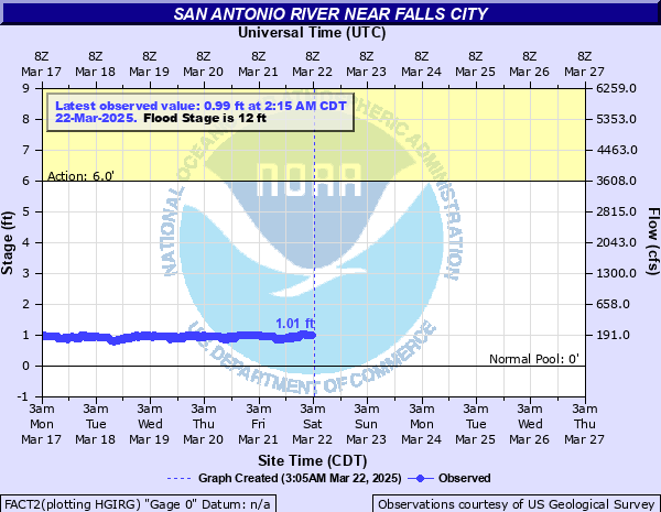
Stage: 0.88 ft
Flow: 0.167 kcfs
Forecast
Forecast not available for this location.
| Time | Stage (ft) | Flow (kcfs) |
|---|---|---|
| 7:15 AM 12/6 | 0.88 | 0.167 |
| 7:00 AM 12/6 | 0.88 | 0.167 |
| 6:45 AM 12/6 | 0.88 | 0.167 |
| 6:30 AM 12/6 | 0.88 | 0.167 |
| 6:15 AM 12/6 | 0.88 | 0.167 |
| 6:00 AM 12/6 | 0.88 | 0.167 |
| 5:45 AM 12/6 | 0.88 | 0.167 |
| 5:30 AM 12/6 | 0.89 | 0.171 |
| 5:15 AM 12/6 | 0.88 | 0.167 |
| 5:00 AM 12/6 | 0.89 | 0.171 |
| 4:45 AM 12/6 | 0.89 | 0.171 |
| 4:30 AM 12/6 | 0.89 | 0.171 |
| 4:15 AM 12/6 | 0.89 | 0.171 |
| 4:00 AM 12/6 | 0.89 | 0.171 |
| 3:45 AM 12/6 | 0.9 | 0.174 |
| 3:30 AM 12/6 | 0.89 | 0.171 |
| 3:15 AM 12/6 | 0.9 | 0.174 |
| 3:00 AM 12/6 | 0.9 | 0.174 |
| 2:45 AM 12/6 | 0.9 | 0.174 |
| 2:30 AM 12/6 | 0.9 | 0.174 |
| 2:15 AM 12/6 | 0.9 | 0.174 |
| 2:00 AM 12/6 | 0.91 | 0.177 |
| 1:45 AM 12/6 | 0.91 | 0.177 |
| 1:30 AM 12/6 | 0.91 | 0.177 |
| 1:15 AM 12/6 | 0.91 | 0.177 |
| 1:00 AM 12/6 | 0.91 | 0.177 |
| 12:45 AM 12/6 | 0.92 | 0.181 |
| 12:30 AM 12/6 | 0.92 | 0.181 |
| 12:15 AM 12/6 | 0.92 | 0.181 |
| 12:00 AM 12/6 | 0.92 | 0.181 |
37' -
Twenty to thirty homes in Falls City are flooded. Major flooding severely damages oil field tank batteries and pump jacks, irrigation pumps, crops and pastureland. Hundreds of livestock can be isolated and drowned. Roads and bridges are severely flooded and dangerous to motorists.
35' -
Ten to fifteen homes in Falls City are flooded. Major flooding severely damages oil field tank batteries and pump jacks, irrigation pumps, crops and pastureland. Hundreds of livestock can be isolated and drowned. Roads and bridges are severely flooded and dangerous to motorists.
32' -
Major flooding severely damages oil field tank batteries and pump jacks, irrigation pumps, crops and pastureland. Hundreds of livestock can be isolated and drowned. Roads and bridges are severely flooded and dangerous to motorists. Six homes in Falls City are flooded up to four feet.
28' -
Major floodng severely damages oil field pump jacks and tank batteries, irrigation pumps, crops and pastureland and can isolate and drown hundreds of livestock in the flood plain. Lowest homes in the flood plain in Falls City are threatened.
24' -
There is major lowland flooding of crop and pasture land below San Antonio to the Guadalupe River confluence. Livestock in flood prone areas are cut off and potentially drowned. Irrigation pumps and equipment flood severely. Nearly all of Goliad State Park downstream is under water. The levee system downstream near the confluence of the San Antonio and Guadalupe Rivers is threatened.
20' -
Major flooding damages crop and pastureland, irrigation pumps, oil field pump jacks and any equipment in the flood plain. Livestock in flood prone areas are cut off and potentially drowned. Secondary roads and low bridges are flooded near the river and very dangerous.
16' -
Flooding significantly damages irrigation pumps, oil field pump jacks and tank batteries and equipment. Livestock in flood prone areas are cut off and potentially drowned. There is significant damage to crop lands in season.
12' -
Minor lowland flooding above Falls City to above Goliad floods irrigation pumps, equipment, crops and pastureland. Livestock can be cut off in low areas of the flood plain.
10' -
Overbank conditions extend into low areas of the flood plain with no significant damage.
| Date | Stage (ft) |
|---|---|
| Jul 6, 2002 | 38.43 |
| Sep 29, 1946 | 33.8 |
| Oct 20, 1998 | 33.6 |
| Jul 4, 2002 | 30.13 |
| Oct 28, 1913 | 28.4 |
| Sep 29, 1973 | 27.26 |
| Jul 22, 2007 | 26.59 |
| Sep 22, 1967 | 25.26 |
| Jun 7, 1987 | 24 |
| Jan 21, 1968 | 22.87 |
| Nov 24, 2004 | 20.2 |
| Jun 6, 1986 | 19.75 |
| Dec 23, 1991 | 19.29 |
| Jun 28, 1949 | 18.05 |
| May 28, 2013 | 17.11 |
| Feb 6, 1992 | 17.08 |
| Jun 18, 1981 | 16.84 |
| Jun 2, 1937 | 16.65 |
| May 23, 1992 | 16.37 |
| Jul 18, 1990 | 15.79 |
Data provided by the National Weather Service.