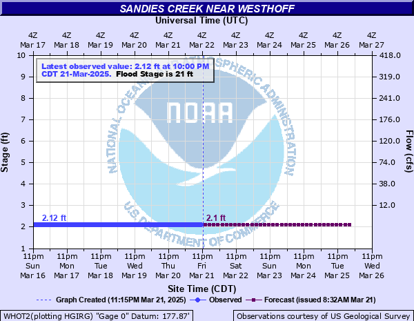
Sandies Creek near Westhoff
Critical Stages
12' - Action
21' - Flood
22' - Moderate
24' - Major
Latest Observation
Updated: 7:00 AM CST 12/6/25
Status: No Flooding
Stage: 2.07 ft
Flow: 0.0012 kcfs
Forecast
Forecast not available for this location.
| Time | Stage (ft) | Flow (kcfs) |
|---|---|---|
| 7:00 AM 12/6 | 2.07 | 0.0012 |
| 6:45 AM 12/6 | 2.07 | 0.0012 |
| 6:30 AM 12/6 | 2.07 | 0.0012 |
| 6:15 AM 12/6 | 2.07 | 0.0012 |
| 6:00 AM 12/6 | 2.07 | 0.0012 |
| 5:45 AM 12/6 | 2.07 | 0.0012 |
| 5:30 AM 12/6 | 2.07 | 0.0012 |
| 5:15 AM 12/6 | 2.07 | 0.0012 |
| 5:00 AM 12/6 | 2.07 | 0.0012 |
| 4:45 AM 12/6 | 2.07 | 0.0012 |
| 4:30 AM 12/6 | 2.07 | 0.0012 |
| 4:15 AM 12/6 | 2.06 | 0.0012 |
| 4:00 AM 12/6 | 2.07 | 0.0012 |
| 3:45 AM 12/6 | 2.07 | 0.0012 |
| 3:30 AM 12/6 | 2.07 | 0.0012 |
| 3:15 AM 12/6 | 2.07 | 0.0012 |
| 3:00 AM 12/6 | 2.07 | 0.0012 |
| 2:45 AM 12/6 | 2.06 | 0.0012 |
| 2:30 AM 12/6 | 2.06 | 0.0012 |
| 2:15 AM 12/6 | 2.06 | 0.0012 |
| 2:00 AM 12/6 | 2.06 | 0.0012 |
| 1:45 AM 12/6 | 2.06 | 0.0012 |
| 1:30 AM 12/6 | 2.06 | 0.0012 |
| 1:15 AM 12/6 | 2.06 | 0.0012 |
| 1:00 AM 12/6 | 2.06 | 0.0012 |
| 12:45 AM 12/6 | 2.06 | 0.0012 |
| 12:30 AM 12/6 | 2.06 | 0.0012 |
| 12:15 AM 12/6 | 2.06 | 0.0012 |
| 12:00 AM 12/6 | 2.06 | 0.0012 |
| 11:45 PM 12/5 | 2.06 | 0.0012 |
26.5' -
Sandies Creek is generally three quarters to one mile wide below the headwaters southeast of Seguin to the Guadalupe River confluence near Cuero. The approaches to the Westhoff/Cheapside road bridge are under five to six feet of water and the bridge floor is flooded. Livestock are cut off and potentially drowned in the flood plain.
25.5' -
Major lowland flooding from the headwaters southeast of Seguin to the Guadalupe River confluence near Cuero is generally three quarters of a mile wide. Livestock are cut off and potentially drowned in the flood plain. Flow is to the bottom of the Westhoff/Cheapside bridge deck and four to five feet deep in the approaches. All secondary roads and bridge crossings over Sandies Creek are flooded and impassable.
24' -
Major lowland flooding from the headwaters southeast of Seguin to the Guadalupe River confluence near Cuero. The flow is over one half mile wide. Livestock are cut off and potentially drowned in low areas of the flood plain if not relocated. Roads and low bridges near the creek are flooded and impassable including FM 1116, and County Road 210.
22' -
Sandies Creek escapes the channel hundreds of yards into the flood plain from the headwaters to the Guadalupe River confluence. Livestock in low areas are cut off and potentially drowned. Secondary roads and low bridges are flooded and dangerous. The approaches of the Westhoff/Cheapside road bridge over Sandies Creek are flooded and water is to the bottom of the bridge.
21' -
Minor lowland flooding from the headwaters southeast of Seguin to the Guadalupe River confluence near Cuero cuts off and potentially drowns livestock. The approaches to the Farm to Market 240 bridge three miles northeast of Westhoff flood.
| Date | Stage (ft) |
|---|---|
| Sep 1, 1981 | 32.28 |
| May 18, 1992 | 29.06 |
| Oct 19, 1998 | 28.8 |
| Oct 15, 2021 | 27.94 |
| Jul 3, 2002 | 27.53 |
| Jun 27, 1993 | 27.36 |
| Aug 28, 2017 | 27.17 |
| Jun 12, 1987 | 26.54 |
| May 14, 2023 | 25.36 |
| Oct 5, 2009 | 24.77 |
| Jun 5, 2020 | 23.91 |
| Mar 15, 2007 | 23.61 |
| May 27, 2015 | 23.47 |
| Apr 12, 1997 | 23.26 |
| Jun 4, 2016 | 23.1 |
| Apr 8, 2023 | 22.87 |
| Mar 23, 2015 | 22.65 |
| Nov 24, 2004 | 22.28 |
| Apr 20, 2015 | 22.08 |
| Jun 23, 1993 | 22.05 |
Data provided by the National Weather Service.