« Back to Black Forest Trail Rivers
Pine Creek at Cedar Run
Critical Stages
7' - Action
12' - Flood
13' - Moderate
15' - Major
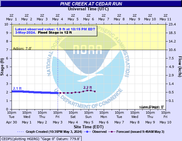
Latest Observation
Updated: 8:15 AM EST 12/6/25
Status: No Flooding
Stage: 1.48 ft
Flow: 0.159 kcfs
Forecast
| Time | Stage (ft) | Flow (kcfs) |
|---|---|---|
| 1 PM 12/6 | 1.6 | 0.208 |
| 7 PM 12/6 | 1.6 | 0.208 |
| 1 AM 12/7 | 1.6 | 0.208 |
| 7 AM 12/7 | 1.6 | 0.208 |
| 1 PM 12/7 | 1.6 | 0.208 |
| 7 PM 12/7 | 1.6 | 0.208 |
| 1 AM 12/8 | 1.6 | 0.208 |
| 7 AM 12/8 | 1.6 | 0.208 |
| Time | Stage (ft) | Flow (kcfs) |
|---|---|---|
| 8:15 AM 12/6 | 1.48 | 0.159 |
| 8:00 AM 12/6 | 1.48 | 0.159 |
| 7:45 AM 12/6 | 1.48 | 0.159 |
| 7:30 AM 12/6 | 1.48 | 0.159 |
| 7:15 AM 12/6 | 1.47 | 0.156 |
| 7:00 AM 12/6 | 1.47 | 0.156 |
| 6:45 AM 12/6 | 1.47 | 0.156 |
| 6:30 AM 12/6 | 1.47 | 0.156 |
| 6:15 AM 12/6 | 1.47 | 0.156 |
| 6:00 AM 12/6 | 1.47 | 0.156 |
| 5:45 AM 12/6 | 1.47 | 0.156 |
| 5:30 AM 12/6 | 1.48 | 0.159 |
| 5:15 AM 12/6 | 1.48 | 0.159 |
| 5:00 AM 12/6 | -9999 | -999 |
| 4:45 AM 12/6 | 1.5 | 0.167 |
| 4:30 AM 12/6 | 1.51 | 0.171 |
| 4:15 AM 12/6 | 1.51 | 0.171 |
| 4:00 AM 12/6 | 1.52 | 0.175 |
| 3:45 AM 12/6 | 1.52 | 0.175 |
| 3:30 AM 12/6 | 1.52 | 0.175 |
| 3:15 AM 12/6 | 1.53 | 0.179 |
| 3:00 AM 12/6 | 1.53 | 0.179 |
| 2:45 AM 12/6 | 1.53 | 0.179 |
| 2:30 AM 12/6 | 1.53 | 0.179 |
| 2:15 AM 12/6 | 1.53 | 0.179 |
| 2:00 AM 12/6 | 1.53 | 0.179 |
| 1:45 AM 12/6 | 1.53 | 0.179 |
| 1:30 AM 12/6 | 1.53 | 0.179 |
| 1:15 AM 12/6 | 1.53 | 0.179 |
| 1:00 AM 12/6 | 1.52 | 0.175 |
19.5' -
FEMA 0.2 0X0P+0nnual Chance Flood Level (500-year flood).
17' -
Flood waters begin to reach the Slate Run Road Bridge.
16' -
Flood of record from Hurricane Agnes in 1972. Numerous homes in the Pine Creek valley are inundated by high water. Flood waters begin to reach the Beulah Land Road Bridge in Cedar Run.
15' -
FEMA 1 0X0P+0nnual Chance Flood Level (100-year flood). Many homes and cabins located along Pine Creek are affected by high water. Flood waters begin to reach the Route 414 Bridge on the north side of Slate Run.
14' -
FEMA 2 0X0P+0nnual Chance Flood Level (50-year flood).
13' -
High water affects numerous homes and cabins from Cedar Run downstream.
12' -
A few residences along the left bank of Pine Creek in the vicinity of cedar run are inundated. A number of homes and cabins in the vicinity of Jersey Mills are also affected.
11' -
FEMA 10 0X0P+0nnual Chance Flood Level (10-year flood). Some low lying areas adjacent to Pine Creek are inundated by high water.
9' -
High water is expected on Pine Creek. River interests are encouraged to monitor conditions in their vicinity. Some low lying areas near the creek are affected by high water.
7' -
High water is occurring on Pine Creek. River interests are encouraged to monitor conditions. Some low lying areas adjacent to the creek may be affected by high water.
| Date | Stage (ft) |
|---|---|
| Jun 23, 1972 | 16 |
| May 28, 1946 | 14.39 |
| Sep 26, 1975 | 13.41 |
| Sep 18, 2004 | 11.94 |
| Feb 14, 1984 | 11.77 |
| Nov 25, 1950 | 11.77 |
| Jan 22, 1959 | 11.51 |
| Aug 18, 1994 | 11.28 |
Data provided by the National Weather Service.