« Back to Black Forest Trail Rivers
West Branch Susquehanna River near Muncy
Critical Stages
16' - Action
20' - Flood
22' - Moderate
28' - Major
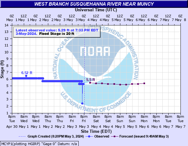
Latest Observation
Updated: 8:09 AM EST 12/6/25
Status: No Flooding
Stage: 4.47 ft
Flow: -999 kcfs
Forecast
| Time | Stage (ft) | Flow (kcfs) |
|---|---|---|
| 1 PM 12/6 | 4.3 | -999 |
| 7 PM 12/6 | 4.2 | -999 |
| 1 AM 12/7 | 4.1 | -999 |
| 7 AM 12/7 | 4.1 | -999 |
| 1 PM 12/7 | 4 | -999 |
| 7 PM 12/7 | 4 | -999 |
| 1 AM 12/8 | 4 | -999 |
| 7 AM 12/8 | 4 | -999 |
| Time | Stage (ft) | Flow (kcfs) |
|---|---|---|
| 8:09 AM 12/6 | 4.47 | -999 |
| 7:49 AM 12/6 | 4.47 | -999 |
| 7:29 AM 12/6 | 4.47 | -999 |
| 7:09 AM 12/6 | 4.47 | -999 |
| 6:49 AM 12/6 | 4.47 | -999 |
| 6:29 AM 12/6 | 4.47 | -999 |
| 6:09 AM 12/6 | 4.47 | -999 |
| 5:49 AM 12/6 | 4.47 | -999 |
| 5:29 AM 12/6 | 4.47 | -999 |
| 5:09 AM 12/6 | 4.47 | -999 |
| 4:49 AM 12/6 | 4.47 | -999 |
| 4:29 AM 12/6 | 4.47 | -999 |
| 4:09 AM 12/6 | 4.47 | -999 |
| 3:49 AM 12/6 | 4.47 | -999 |
| 3:29 AM 12/6 | 4.47 | -999 |
| 3:09 AM 12/6 | 4.47 | -999 |
| 2:49 AM 12/6 | 4.47 | -999 |
| 2:29 AM 12/6 | 4.47 | -999 |
| 2:09 AM 12/6 | 4.47 | -999 |
| 1:49 AM 12/6 | 4.47 | -999 |
| 1:29 AM 12/6 | 4.47 | -999 |
| 1:09 AM 12/6 | 4.47 | -999 |
| 12:49 AM 12/6 | 4.47 | -999 |
| 12:29 AM 12/6 | 4.47 | -999 |
| 12:09 AM 12/6 | 4.47 | -999 |
| 11:49 PM 12/5 | 4.47 | -999 |
| 11:29 PM 12/5 | 4.47 | -999 |
| 11:09 PM 12/5 | 4.47 | -999 |
| 10:49 PM 12/5 | 4.47 | -999 |
| 10:29 PM 12/5 | 4.47 | -999 |
37' -
Most of the northern portion of Muncy is inundated by flood waters.
35' -
High water affects the Muncy Valley Hospital.
31' -
North Market, Main, and Washington Streets are flooded.
29' -
The water level reaches the old feed mill on West Water Street.
28' -
Numerous homes and businesses in Montgomery are affected by high water.
27' -
Numerous homes and businesses in Muncy are affected.
25' -
The Andritz (Sprout Bauer) plant experiences significant flooding. Many homes in low lying areas are also affected.
24' -
Several homes on Broad Street and Second Streets in Montgomery are affected.
23' -
The Andritz (Sprout Bauer) plant is affected by high water.
22' -
A number of homes are flooded. Route 405 is affected between Muncy and Montgomery. South Main Street and Ellis Parkway are flooded in Montgomery.
21' -
Old Route 147 is inundated north of Muncy.
20' -
A few residences in Muncy flood. Ellis Parkway in Montgomery floods, limiting access to the Riverside Campground office and the campground.
18' -
Both banks overflow into agricultural fields.
17' -
The Riverside Campground and the River Field Little League Complex in Montgomery are affected by high water.
16' -
Both banks overflow into agricultural fields.
| Date | Stage (ft) |
|---|---|
| Jun 23, 1972 | 37.45 |
| Mar 18, 1936 | 35.9 |
| May 28, 1946 | 30.3 |
| Nov 26, 1950 | 28.8 |
| Sep 19, 2004 | 28.8 |
| Mar 11, 1964 | 28.78 |
| Jan 20, 1996 | 28.60000038147 |
| Sep 26, 1975 | 28.05 |
| Dec 2, 2010 | 24.3 |
| Mar 11, 2011 | 22.7 |
| Apr 2, 1993 | 21.7 |
| Sep 11, 2018 | 21.2 |
| Apr 3, 2005 | 20.3 |
| Aug 19, 1995 | 19.9 |
| Nov 29, 1993 | 19.5 |
| Mar 25, 1994 | 19.5 |
| Apr 18, 1993 | 19 |
| Mar 5, 1991 | 17.5 |
| Apr 4, 1994 | 17.5 |
| Apr 7, 1994 | 16.5 |
Data provided by the National Weather Service.