« Back to Black Forest Trail Rivers
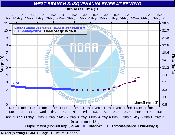
West Branch Susquehanna River at Renovo
Critical Stages
12' - Action
16' - Flood
18' - Moderate
22' - Major
Latest Observation
Updated: 7:30 AM EST 12/6/25
Status: No Flooding
Stage: 0.7 ft
Flow: 1.23 kcfs
Forecast
| Time | Stage (ft) | Flow (kcfs) |
|---|---|---|
| 1 PM 12/6 | 1 | 1.61 |
| 7 PM 12/6 | 0.9 | 1.48 |
| 1 AM 12/7 | 0.9 | 1.48 |
| 7 AM 12/7 | 0.9 | 1.48 |
| 1 PM 12/7 | 0.9 | 1.48 |
| 7 PM 12/7 | 0.9 | 1.48 |
| 1 AM 12/8 | 0.9 | 1.48 |
| 7 AM 12/8 | 0.9 | 1.48 |
| Time | Stage (ft) | Flow (kcfs) |
|---|---|---|
| 8:30 AM 12/6 | 0.68 | 1.21 |
| 8:15 AM 12/6 | 0.68 | 1.21 |
| 8:00 AM 12/6 | 0.69 | 1.22 |
| 7:45 AM 12/6 | 0.69 | 1.22 |
| 7:30 AM 12/6 | 0.7 | 1.23 |
| 7:15 AM 12/6 | 0.7 | 1.23 |
| 7:00 AM 12/6 | 0.71 | 1.24 |
| 6:45 AM 12/6 | 0.72 | 1.25 |
| 6:30 AM 12/6 | 0.72 | 1.25 |
| 6:15 AM 12/6 | 0.72 | 1.25 |
| 6:00 AM 12/6 | 0.73 | 1.27 |
| 5:45 AM 12/6 | 0.74 | 1.28 |
| 5:30 AM 12/6 | 0.75 | 1.29 |
| 5:15 AM 12/6 | 0.75 | 1.29 |
| 5:00 AM 12/6 | 0.76 | 1.3 |
| 4:45 AM 12/6 | 0.77 | 1.32 |
| 4:30 AM 12/6 | 0.77 | 1.32 |
| 4:15 AM 12/6 | 0.77 | 1.32 |
| 4:00 AM 12/6 | 0.78 | 1.33 |
| 3:45 AM 12/6 | 0.79 | 1.34 |
| 3:30 AM 12/6 | 0.79 | 1.34 |
| 3:15 AM 12/6 | 0.79 | 1.34 |
| 3:00 AM 12/6 | 0.8 | 1.35 |
| 2:45 AM 12/6 | 0.81 | 1.36 |
| 2:30 AM 12/6 | 0.8 | 1.35 |
| 2:15 AM 12/6 | 0.8 | 1.35 |
| 2:00 AM 12/6 | 0.82 | 1.38 |
| 1:45 AM 12/6 | 0.81 | 1.36 |
| 1:30 AM 12/6 | 0.81 | 1.36 |
| 1:15 AM 12/6 | 0.82 | 1.38 |
36' -
FEMA 0.2 0X0P+0nnual Chance Flood Level (500-year flood).
29.4' -
Flood of record from March 1936. Flood waters begin to reach the Fourth Street Bridge.
28' -
Widespread catastrophic flooding occurs on both banks of the river. The majority of homes and businesses are affected. The area is virtually "cutoff" from communicating with and traveling to the outside world due to flooded roads.
26' -
Almost 50 percent of Renovo is inundated. The sewage treatment plant is inoperable. Transportation into and out of Renovo are severely limited. Water supply is also affected.
25.5' -
FEMA 1 0X0P+0nnual Chance Flood Level (100-year flood).
25' -
The right, or south bank begins to overflow. Widespread flooding occurs along the left bank.
24' -
Widespread flooding occurs on the left, or north bank, with many homes and businesses affected.
23.5' -
FEMA 2 0X0P+0nnual Chance Flood Level (50-year flood).
22' -
Major Flood Stage. Many homes and businesses on the left, or north bank are affected. Many streets are also inundated.
20' -
A number of homes on the left, or north bank are affected by high water.
18' -
Moderate Flood Stage. Several homes are inundated to the first floor by high water on the left, or north bank of the river.
17.5' -
FEMA 10 0X0P+0nnual Chance Flood Level (10-year flood).
16' -
Minor Flood Stage. The left, or north bank overflows, affecting low lying areas.
| Date | Stage (ft) |
|---|---|
| Mar 18, 1936 | 29.39 |
| Jun 1, 1889 | 27.3 |
| Jun 23, 1972 | 26.56 |
| May 21, 1894 | 23 |
| Nov 26, 1950 | 21.96 |
| Mar 10, 1964 | 21.28 |
| Sep 18, 2004 | 21.14 |
| Jan 20, 1996 | 20.729999542236 |
| May 28, 1946 | 20.15 |
| Jul 18, 1942 | 18.92 |
| Feb 1, 1982 | 18.57 |
| Dec 1, 2010 | 18.25 |
| Apr 1, 1940 | 16.51 |
| Sep 11, 2018 | 16.11 |
| Sep 26, 1975 | 15.93 |
| Feb 26, 1961 | 15.91 |
| Feb 15, 1984 | 15.4 |
Data provided by the National Weather Service.