« Back to Black Forest Trail Rivers
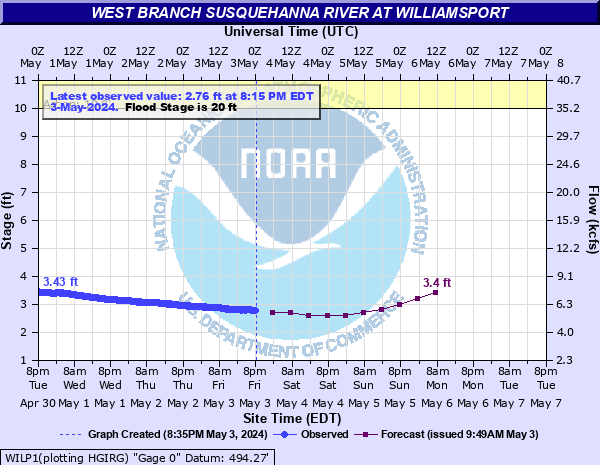
West Branch Susquehanna River at Williamsport
Critical Stages
10' - Action
20' - Flood
21' - Moderate
30' - Major
Latest Observation
Updated: 8:15 AM EST 12/6/25
Status: No Flooding
Stage: 1.16 ft
Flow: 2.53 kcfs
Forecast
| Time | Stage (ft) | Flow (kcfs) |
|---|---|---|
| 1 PM 12/6 | 1 | 2.28 |
| 7 PM 12/6 | 1 | 2.28 |
| 1 AM 12/7 | 1 | 2.28 |
| 7 AM 12/7 | 1 | 2.28 |
| 1 PM 12/7 | 1 | 2.28 |
| 7 PM 12/7 | 1 | 2.28 |
| 1 AM 12/8 | 1 | 2.28 |
| 7 AM 12/8 | 1 | 2.28 |
| Time | Stage (ft) | Flow (kcfs) |
|---|---|---|
| 8:15 AM 12/6 | 1.16 | 2.53 |
| 8:00 AM 12/6 | 1.17 | 2.54 |
| 7:45 AM 12/6 | 1.17 | 2.54 |
| 7:30 AM 12/6 | 1.17 | 2.54 |
| 7:15 AM 12/6 | 1.18 | 2.56 |
| 7:00 AM 12/6 | 1.19 | 2.57 |
| 6:45 AM 12/6 | 1.19 | 2.57 |
| 6:30 AM 12/6 | 1.2 | 2.59 |
| 6:15 AM 12/6 | 1.2 | 2.59 |
| 6:00 AM 12/6 | 1.21 | 2.61 |
| 5:45 AM 12/6 | 1.21 | 2.61 |
| 5:30 AM 12/6 | 1.22 | 2.62 |
| 5:15 AM 12/6 | 1.22 | 2.62 |
| 5:00 AM 12/6 | 1.23 | 2.64 |
| 4:45 AM 12/6 | 1.23 | 2.64 |
| 4:30 AM 12/6 | 1.24 | 2.65 |
| 4:15 AM 12/6 | 1.24 | 2.65 |
| 4:00 AM 12/6 | 1.25 | 2.67 |
| 3:45 AM 12/6 | 1.26 | 2.69 |
| 3:30 AM 12/6 | 1.26 | 2.69 |
| 3:15 AM 12/6 | 1.27 | 2.7 |
| 3:00 AM 12/6 | 1.27 | 2.7 |
| 2:45 AM 12/6 | 1.27 | 2.7 |
| 2:30 AM 12/6 | 1.28 | 2.72 |
| 2:15 AM 12/6 | 1.28 | 2.72 |
| 2:00 AM 12/6 | 1.28 | 2.72 |
| 1:45 AM 12/6 | 1.29 | 2.74 |
| 1:30 AM 12/6 | 1.29 | 2.74 |
| 1:15 AM 12/6 | 1.29 | 2.74 |
| 1:00 AM 12/6 | 1.29 | 2.74 |
45' -
Flood waters begin to reach the Market Street Bridge in Williamsport.
41' -
FEMA 0.2 0X0P+0nnual Chance Flood Level (500-year flood).
34.7' -
Flood of record from Hurricane Agnes in 1972. FEMA 1 0X0P+0nnual Chance Flood Level (100-year flood).
34' -
Widespread flooding occurs in areas not protected by the levee system.
33' -
Flood waters begin to reach the Arch Street Bridge in Williamsport.
32' -
Widespread flooding occurs in areas not protected by the levee system. The protective works for Route 220 are closed at this level. Flood waters begin to reach the Maynard Street Bridge in Williamsport.
31.5' -
FEMA 2 0X0P+0nnual Chance Flood Level (50-year flood).
30' -
Many homes and businesses outside the levee system are affected by high water.
23' -
Low lying areas on both banks are inundated. FEMA 10 0X0P+0nnual Chance Flood Level (10-year flood).
21' -
A number of residences and roads in the area outside the levee system are affected.
20' -
High water affects a few homes and some roadways in areas not protected by the levee system. The camping area west of Williamsport is significantly affected.
| Date | Stage (ft) |
|---|---|
| Jun 23, 1972 | 34.75 |
| Mar 18, 1936 | 33.57 |
| Jun 1, 1889 | 32.4 |
| May 21, 1884 | 31 |
| May 28, 1946 | 29.6 |
| Nov 26, 1950 | 28.1 |
| Sep 18, 2004 | 27.82 |
| Mar 17, 1865 | 27.5 |
| Mar 11, 1964 | 27.25 |
| Jan 20, 1996 | 26.709999084473 |
| Feb 15, 1984 | 25.6 |
| Sep 26, 1975 | 24.7 |
| Mar 12, 1936 | 23.7 |
| Dec 2, 2010 | 23.25 |
| Jun 23, 1959 | 23 |
| Dec 31, 1942 | 23 |
| Mar 6, 1979 | 22.73 |
| Apr 1, 1940 | 22.7 |
| Feb 26, 1961 | 21.68 |
| Sep 11, 2018 | 21.08 |
Data provided by the National Weather Service.