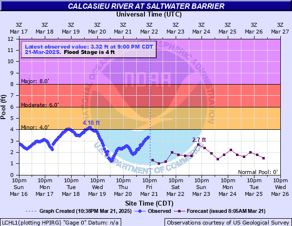
Calcasieu River at Saltwater Barrier
Critical Stages
4' - Action
4' - Flood
6' - Moderate
8' - Major
Latest Observation
Updated: 5:59 AM CST 12/8/25
Status: No Flooding
Stage: 3.6 ft
Flow: 9.44 kcfs
Forecast
| Time | Stage (ft) | Flow (kcfs) |
|---|---|---|
| 12 PM 12/8 | 3.8 | 11.6 |
| 6 PM 12/8 | 3.7 | 10.5 |
| 12 AM 12/9 | 3.9 | 12.7 |
| 6 AM 12/9 | 3.9 | 12.7 |
| 12 PM 12/9 | 3.7 | 10.5 |
| 6 PM 12/9 | 3.7 | 10.5 |
| 12 AM 12/10 | 3.9 | 12.7 |
| 6 AM 12/10 | 3.8 | 11.6 |
| 12 PM 12/10 | 3.8 | 11.6 |
| 6 PM 12/10 | 3.6 | 9.44 |
| 12 AM 12/11 | 3.8 | 11.6 |
| 6 AM 12/11 | 3.8 | 11.6 |
| 12 PM 12/11 | 3.7 | 10.5 |
| 6 PM 12/11 | 3.6 | 9.44 |
| 12 AM 12/12 | 3.8 | 11.6 |
| 6 AM 12/12 | 3.7 | 10.5 |
| Time | Stage (ft) | Flow (kcfs) |
|---|---|---|
| 5:59 AM 12/8 | 3.6 | 9.44 |
| 5:00 AM 12/7 | 4 | 14 |
| 5:59 AM 12/6 | 3.6 | 9.44 |
| 5:00 AM 12/5 | 3 | 4.8 |
| 5:59 AM 12/4 | 3.6 | 9.44 |
| 5:59 AM 12/3 | 3.2 | 6.1 |
| 5:59 AM 12/2 | 3.2 | 6.1 |
| 5:59 AM 12/1 | 2.4 | 1.78 |
| 5:59 AM 11/30 | 3.4 | 7.63 |
| 5:59 AM 11/29 | 3.7 | 10.5 |
| 5:59 AM 11/28 | 2.6 | 2.6 |
| 5:59 AM 11/27 | 2.7 | 3.06 |
| 5:00 AM 11/26 | 2.8 | 3.57 |
| 5:00 AM 11/25 | 3.2 | 6.1 |
| 5:00 AM 11/24 | 2.6 | 2.6 |
| 5:00 AM 11/20 | 3 | 4.8 |
| 5:59 AM 11/19 | 3 | 4.8 |
| 5:59 AM 11/18 | 0 | -999 |
| 5:59 AM 11/17 | 2.9 | 4.15 |
| 5:00 AM 11/16 | 2.9 | 4.15 |
| 5:00 AM 11/14 | 2.3 | 1.43 |
| 5:59 AM 11/12 | 3 | 4.8 |
| 5:59 AM 11/11 | 2.5 | 2.2 |
| 5:59 AM 11/10 | 2.8 | 3.57 |
| 5:59 AM 11/9 | 3.3 | 6.83 |
13' -
The river is at its flood of record. Over half of the city of Lake Charles is flooded.
11' -
Major flooding occurs. These water levels are near those reached during the storm surge of Hurricane Ike in 2008. Major flooding can be expected in Westlake and Lake Charles with numerous homes inundated.
10' -
Backwater flooding in the north and east portions of Lake Charles will occur.
8' -
Major flooding of residential areas near the barrier will occur.
6' -
Significant flooding of numerous recreational camps and homes will occur. River Road and much of Mims Road are impassable.
5.5' -
Access roads including River Road in North Lake Charles and Mims Road in Westlake become impassable to some vehicles. In addition flooding of roads along the West Fork of the Calcasieu can be expected. Including South Perkins Ferry Road.
5' -
River Road in North Lake Charles and Mims Road in Westlake are flooded. Extensive marshland flooding will occur.
4.5' -
Water covers portions of River Road in north Lake Charles.
4' -
Minor marshland flooding occurs. Flooding also begins on River Road in north Lake Charles.
| Date | Stage (ft) |
|---|---|
| Oct 1, 1913 | 13 |
| Sep 13, 2008 | 11 |
| Sep 24, 2005 | 9.43 |
| Jul 3, 1989 | 9.4 |
| Dec 31, 1982 | 8.95 |
| Jan 1, 1983 | 8.2 |
| May 18, 1980 | 7.45 |
| Aug 30, 2017 | 7.34 |
| May 4, 2017 | 6.82 |
| Nov 8, 2002 | 6.6 |
| Oct 29, 2006 | 6.35 |
| Oct 31, 2002 | 6 |
| Sep 12, 1998 | 5.92 |
| Apr 15, 1995 | 5.9 |
| Nov 1, 2015 | 5.85 |
| Nov 3, 1985 | 5.8 |
| May 19, 2004 | 5.6 |
| Dec 3, 2001 | 5.58 |
| Sep 20, 1979 | 5.55 |
| Mar 10, 2016 | 5.54 |
Data provided by the National Weather Service.