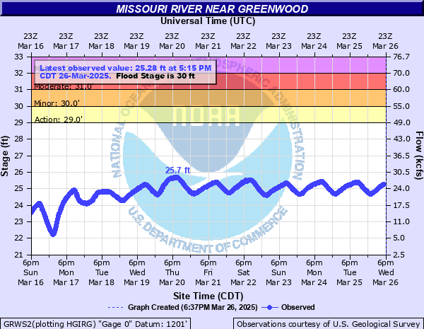
Missouri River near Greenwood
Critical Stages
29' - Action
30' - Flood
31' - Moderate
32' - Major
Latest Observation
Updated: 8:15 PM CST 12/14/25
Status: No Flooding
Stage: 23.42 ft
Flow: 13.9 kcfs
Forecast
Forecast not available for this location.
| Time | Stage (ft) | Flow (kcfs) |
|---|---|---|
| 8:15 PM 12/14 | 23.42 | 13.9 |
| 8:00 PM 12/14 | 23.38 | 13.6 |
| 7:45 PM 12/14 | 23.34 | 13.3 |
| 7:30 PM 12/14 | 23.29 | 12.9 |
| 7:15 PM 12/14 | 23.31 | 13.1 |
| 7:00 PM 12/14 | 23.26 | 12.7 |
| 6:45 PM 12/14 | 23.22 | 12.4 |
| 6:30 PM 12/14 | 23.17 | 12.1 |
| 6:15 PM 12/14 | 23.18 | 12.2 |
| 6:00 PM 12/14 | 23.15 | 12 |
| 5:45 PM 12/14 | 23.12 | 11.8 |
| 5:30 PM 12/14 | 23.08 | 11.5 |
| 5:15 PM 12/14 | 23.08 | 11.5 |
| 5:00 PM 12/14 | 23.04 | 11.2 |
| 4:45 PM 12/14 | 23 | 11 |
| 4:30 PM 12/14 | 23.02 | 11.1 |
| 4:15 PM 12/14 | 22.98 | 10.9 |
| 4:00 PM 12/14 | 22.96 | 10.7 |
| 3:45 PM 12/14 | 22.91 | 10.4 |
| 3:30 PM 12/14 | 22.93 | 10.5 |
| 3:15 PM 12/14 | 22.89 | 10.3 |
| 3:00 PM 12/14 | 22.84 | 9.94 |
| 2:45 PM 12/14 | 22.84 | 9.94 |
| 2:30 PM 12/14 | 22.8 | 9.69 |
| 2:15 PM 12/14 | 22.74 | 9.33 |
| 2:00 PM 12/14 | 22.7 | 9.09 |
| 1:45 PM 12/14 | 22.68 | 8.98 |
| 1:30 PM 12/14 | 22.62 | 8.64 |
| 1:15 PM 12/14 | 22.55 | 8.26 |
| 1:00 PM 12/14 | 22.52 | 8.1 |
37.5' -
County Road 2 in Charles Mix County is flooded between 395th Avenue and 491st Avenue.
30' -
Flooding begins to affect significant amounts of agricultural land.
| Date | Stage (ft) |
|---|---|
| Jul 7, 2011 | 38.78 |
| Sep 29, 2019 | 32.35 |
| Oct 8, 1997 | 31.89 |
| Sep 30, 1997 | 31.79 |
| Sep 5, 1995 | 30.76 |
| Jul 27, 1996 | 30.59 |
| Jan 6, 1999 | 30.53 |
| Aug 16, 2018 | 30.5 |
| Aug 31, 2010 | 29.87 |
| Jan 8, 1994 | 29.13 |
| Oct 7, 1999 | 28.82 |
| Sep 16, 2014 | 28.79 |
| Oct 1, 2011 | 28.06 |
| Dec 23, 2008 | 27.88 |
| Aug 5, 2006 | 27.65 |
| Oct 8, 2024 | 27.53 |
| Oct 14, 2012 | 27.4 |
| Oct 2, 2000 | 27.3 |
| Jun 2, 2017 | 27.06 |
| Oct 3, 2023 | 27.06 |
Data provided by the National Weather Service.