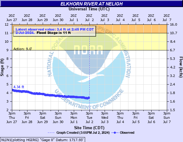
Elkhorn River at Neligh
Critical Stages
9' - Action
11' - Flood
12' - Moderate
14' - Major
Latest Observation
Updated: 7:45 PM CST 12/14/25
Status: No Flooding
Stage: 2.24 ft
Flow: 0.264 kcfs
Forecast
Forecast not available for this location.
| Time | Stage (ft) | Flow (kcfs) |
|---|---|---|
| 8:45 PM 12/14 | 2.24 | 0.264 |
| 8:30 PM 12/14 | 2.24 | 0.264 |
| 8:15 PM 12/14 | 2.24 | 0.264 |
| 8:00 PM 12/14 | 2.24 | 0.264 |
| 7:45 PM 12/14 | 2.24 | 0.264 |
| 7:30 PM 12/14 | 2.24 | 0.264 |
| 7:15 PM 12/14 | 2.25 | 0.265 |
| 7:00 PM 12/14 | 2.24 | 0.264 |
| 6:45 PM 12/14 | 2.24 | 0.264 |
| 6:30 PM 12/14 | 2.25 | 0.265 |
| 6:15 PM 12/14 | 2.26 | 0.266 |
| 6:00 PM 12/14 | 2.26 | 0.266 |
| 5:45 PM 12/14 | 2.26 | 0.266 |
| 5:30 PM 12/14 | 2.26 | 0.266 |
| 5:15 PM 12/14 | 2.26 | 0.266 |
| 5:00 PM 12/14 | 2.26 | 0.266 |
| 4:45 PM 12/14 | 2.25 | 0.265 |
| 4:30 PM 12/14 | 2.25 | 0.265 |
| 4:15 PM 12/14 | 2.26 | 0.266 |
| 4:00 PM 12/14 | 2.25 | 0.265 |
| 3:45 PM 12/14 | 2.23 | 0.263 |
| 3:30 PM 12/14 | 2.24 | 0.264 |
| 3:15 PM 12/14 | 2.22 | 0.262 |
| 3:00 PM 12/14 | 2.23 | 0.263 |
| 2:45 PM 12/14 | 2.21 | 0.261 |
| 2:30 PM 12/14 | 2.21 | 0.261 |
| 2:15 PM 12/14 | 2.21 | 0.261 |
| 2:00 PM 12/14 | 2.2 | 0.26 |
| 1:45 PM 12/14 | 2.22 | 0.262 |
| 1:30 PM 12/14 | 2.25 | 0.265 |
13' -
Widespread flooding is encountered along the majority of the reach.
11' -
The city park in Neligh along the right bank floods. There are a few homes also prone to overflows near the gage on the right bank.
10' -
The right bank floods farm and pasture lands.
| Date | Stage (ft) |
|---|---|
| Jun 14, 2010 | 15.54 |
| May 30, 1995 | 13.37 |
| Jun 23, 1947 | 12.53 |
| Mar 29, 1960 | 12.24 |
| Mar 19, 1987 | 11.99 |
| Mar 14, 2019 | 11.48 |
| Apr 7, 1949 | 10.98 |
| May 7, 1999 | 10.79 |
| May 19, 1951 | 10.62 |
| Apr 26, 2007 | 9.98 |
| Apr 2, 1983 | 9.93 |
| May 31, 2008 | 9.89 |
| Jun 1, 1996 | 9.7 |
| Apr 9, 1984 | 9.49 |
| Jun 3, 1935 | 9.44 |
| May 11, 1993 | 9.32 |
| Jun 10, 1962 | 9.17 |
| May 6, 1944 | 9.13 |
| Jun 1, 1982 | 8.74 |
| Apr 25, 2001 | 8.73 |
Data provided by the National Weather Service.