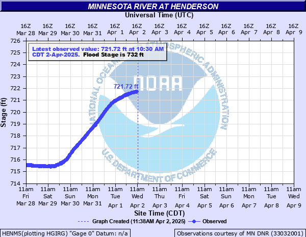
Minnesota River at Henderson
Critical Stages
727' - Action
732' - Flood
736' - Moderate
739.5' - Major
Latest Observation
Updated: 9:30 AM CST 12/6/25
Status: No Flooding
Stage: 715.35 ft
Flow: 2.51 kcfs
Forecast
Forecast not available for this location.
| Time | Stage (ft) | Flow (kcfs) |
|---|---|---|
| 9:30 AM 12/6 | 715.35 | 2.51 |
| 9:15 AM 12/6 | 715.34 | 2.51 |
| 9:00 AM 12/6 | 715.33 | 2.5 |
| 8:45 AM 12/6 | 715.32 | 2.5 |
| 8:30 AM 12/6 | 715.32 | 2.5 |
| 8:15 AM 12/6 | 715.31 | 2.49 |
| 8:00 AM 12/6 | 715.3 | 2.49 |
| 7:45 AM 12/6 | 715.29 | 2.47 |
| 7:30 AM 12/6 | 715.29 | 2.47 |
| 7:15 AM 12/6 | 715.28 | 2.46 |
| 7:00 AM 12/6 | 715.27 | 2.45 |
| 6:45 AM 12/6 | 715.26 | 2.44 |
| 6:30 AM 12/6 | 715.25 | 2.42 |
| 6:15 AM 12/6 | 715.25 | 2.42 |
| 6:00 AM 12/6 | 715.25 | 2.42 |
| 5:45 AM 12/6 | 715.24 | 2.41 |
| 5:30 AM 12/6 | 715.24 | 2.41 |
| 5:15 AM 12/6 | 715.23 | 2.4 |
| 5:00 AM 12/6 | 715.22 | 2.39 |
| 4:45 AM 12/6 | 715.22 | 2.39 |
| 4:30 AM 12/6 | 715.21 | 2.38 |
| 4:15 AM 12/6 | 715.2 | 2.36 |
| 4:00 AM 12/6 | 715.2 | 2.36 |
| 3:45 AM 12/6 | 715.19 | 2.36 |
| 3:30 AM 12/6 | 715.19 | 2.36 |
| 3:15 AM 12/6 | 715.18 | 2.35 |
| 3:00 AM 12/6 | 715.18 | 2.35 |
| 2:45 AM 12/6 | 715.17 | 2.35 |
| 2:30 AM 12/6 | 715.17 | 2.35 |
| 2:15 AM 12/6 | 715.16 | 2.34 |
737' -
Highway 99 east of St Peter is closed (estimated levels for spring flooding)
736.8' -
Highway 22 east of St Peter closed (estimated levels for spring flooding)
733.7' -
The floodwall gates will be closed when Henderson reaches 733.7 and the river is still rising at Mankato.
732.5' -
Water begins encroaching on highway 19 east of Henderson.
732' -
Water begins impacting residences and agricultural buildings north and south of Henderson.
| Date | Stage (ft) |
|---|---|
| Jun 26, 2024 | 741.77 |
| Sep 28, 2010 | 740.08 |
| Apr 11, 1965 | 739.65 |
| Jun 24, 2014 | 739.65 |
| Jun 23, 1993 | 739.5 |
| Apr 18, 2001 | 739.2 |
| Apr 28, 2001 | 738.5 |
| Mar 24, 2019 | 738.5 |
| Apr 10, 1969 | 738.17 |
| Apr 11, 1997 | 737.9 |
| Mar 27, 2011 | 737.66 |
| Mar 22, 2010 | 737.59 |
| May 18, 2023 | 735.99 |
| Jun 28, 2018 | 735.4 |
| Apr 24, 2023 | 733.73 |
| Apr 28, 2018 | 733.7 |
| May 14, 1993 | 733.5 |
| Apr 5, 1993 | 733.5 |
| Sep 27, 2016 | 732.97 |
| Mar 11, 2020 | 732.75 |
Data provided by the National Weather Service.