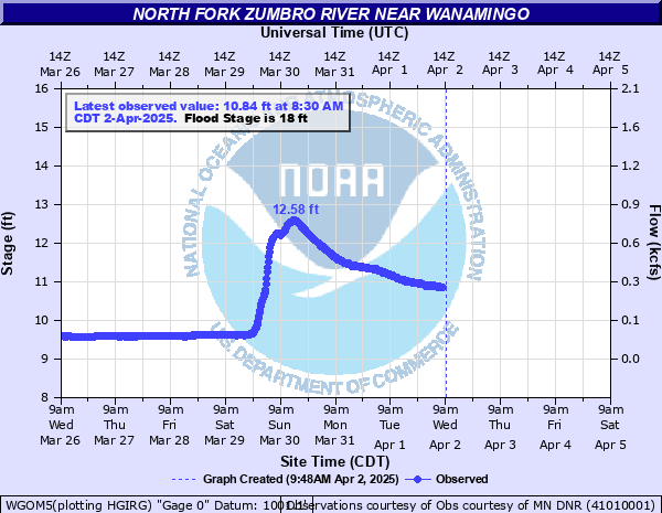
North Fork Zumbro River near Wanamingo
Critical Stages
17' - Action
18' - Flood
20' - Moderate
22' - Major
Latest Observation
Updated: 9:30 AM CST 12/6/25
Status: No Flooding
Stage: 9.51 ft
Flow: 0.0216 kcfs
Forecast
Forecast not available for this location.
| Time | Stage (ft) | Flow (kcfs) |
|---|---|---|
| 9:30 AM 12/6 | 9.51 | 0.0216 |
| 9:15 AM 12/6 | 9.51 | 0.0216 |
| 9:00 AM 12/6 | 9.51 | 0.0216 |
| 8:45 AM 12/6 | 9.51 | 0.0216 |
| 8:30 AM 12/6 | 9.51 | 0.0216 |
| 8:15 AM 12/6 | 9.51 | 0.0216 |
| 8:00 AM 12/6 | 9.51 | 0.0216 |
| 7:45 AM 12/6 | 9.51 | 0.0216 |
| 7:30 AM 12/6 | 9.51 | 0.0216 |
| 7:15 AM 12/6 | 9.51 | 0.0216 |
| 7:00 AM 12/6 | 9.51 | 0.0216 |
| 6:45 AM 12/6 | 9.52 | 0.0222 |
| 6:30 AM 12/6 | 9.52 | 0.0222 |
| 6:15 AM 12/6 | 9.52 | 0.0222 |
| 6:00 AM 12/6 | 9.52 | 0.0222 |
| 5:45 AM 12/6 | 9.52 | 0.0222 |
| 5:30 AM 12/6 | 9.52 | 0.0222 |
| 5:15 AM 12/6 | 9.52 | 0.0222 |
| 5:00 AM 12/6 | 9.52 | 0.0222 |
| 4:45 AM 12/6 | 9.52 | 0.0222 |
| 4:30 AM 12/6 | 9.51 | 0.0216 |
| 4:15 AM 12/6 | 9.51 | 0.0216 |
| 4:00 AM 12/6 | 9.51 | 0.0216 |
| 3:45 AM 12/6 | 9.51 | 0.0216 |
| 3:30 AM 12/6 | 9.51 | 0.0216 |
| 3:15 AM 12/6 | 9.51 | 0.0216 |
| 3:00 AM 12/6 | 9.51 | 0.0216 |
| 2:45 AM 12/6 | 9.5 | 0.021 |
| 2:30 AM 12/6 | 9.51 | 0.0216 |
| 2:15 AM 12/6 | 9.51 | 0.0216 |
23.06' -
Water reaches low steel on bridge at gage location.
22.5' -
The Wanamingo wastewater treatment plant in impacted.
20.5' -
Water affects roads including Goodhue CR 1 between Hwy 60 and CR30, Hwy 60 between Wanamingo and Kenyon, and Goodhue CR30 between Wanamingo and Aspelund. In addition, many gravel roads may be innundated or washed out in Mineola, Wanamingo, and Holden townships.
20' -
Campgrounds near the river may be flooded.
| Date | Stage (ft) |
|---|---|
| Sep 22, 2016 | 23.38 |
| Jun 8, 2005 | 23.25 |
| Jun 21, 2002 | 23 |
| Sep 23, 2010 | 22.92 |
| Jun 27, 1998 | 22.88 |
| Jun 22, 2024 | 21.16 |
| Mar 14, 2007 | 19.37 |
| Jun 3, 2024 | 19.07 |
| Mar 30, 2013 | 18.91 |
| May 18, 2017 | 18.85 |
| Mar 14, 2019 | 18.68 |
| Apr 12, 2001 | 18.2 |
| Aug 17, 1998 | 17.48 |
| Jun 15, 2012 | 17.05 |
| Mar 23, 2011 | 16.62 |
| Mar 31, 2023 | 16.08 |
| Sep 5, 2018 | 15.18 |
Data provided by the National Weather Service.