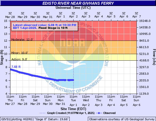
Edisto River near Givhans Ferry
Critical Stages
9' - Action
10' - Flood
12' - Moderate
15' - Major
Latest Observation
Updated: 11:30 AM EST 12/8/25
Status: No Flooding
Stage: 4.93 ft
Flow: 1.54 kcfs
Forecast
| Time | Stage (ft) | Flow (kcfs) |
|---|---|---|
| 1 PM 12/8 | 5 | 1.58 |
| 7 PM 12/8 | 5.2 | 1.67 |
| 1 AM 12/9 | 5.4 | 1.76 |
| 7 AM 12/9 | 5.5 | 1.81 |
| 1 PM 12/9 | 5.7 | 1.9 |
| 7 PM 12/9 | 5.8 | 1.95 |
| 1 AM 12/10 | 5.9 | 2 |
| 7 AM 12/10 | 6 | 2.05 |
| 1 PM 12/10 | 6.2 | 2.15 |
| 7 PM 12/10 | 6.3 | 2.21 |
| 1 AM 12/11 | 6.3 | 2.21 |
| 7 AM 12/11 | 6.4 | 2.26 |
| 1 PM 12/11 | 6.5 | 2.31 |
| 7 PM 12/11 | 6.5 | 2.31 |
| 1 AM 12/12 | 6.6 | 2.37 |
| 7 AM 12/12 | 6.6 | 2.37 |
| 1 PM 12/12 | 6.6 | 2.37 |
| 7 PM 12/12 | 6.6 | 2.37 |
| 1 AM 12/13 | 6.6 | 2.37 |
| 7 AM 12/13 | 6.7 | 2.42 |
| Time | Stage (ft) | Flow (kcfs) |
|---|---|---|
| 12:30 PM 12/8 | 4.95 | 1.55 |
| 12:15 PM 12/8 | 4.94 | 1.55 |
| 12:00 PM 12/8 | 4.94 | 1.55 |
| 11:45 AM 12/8 | 4.94 | 1.55 |
| 11:30 AM 12/8 | 4.93 | 1.54 |
| 11:15 AM 12/8 | 4.93 | 1.54 |
| 11:00 AM 12/8 | 4.93 | 1.54 |
| 10:45 AM 12/8 | 4.93 | 1.54 |
| 10:30 AM 12/8 | 4.93 | 1.54 |
| 10:15 AM 12/8 | 4.92 | 1.54 |
| 10:00 AM 12/8 | 4.92 | 1.54 |
| 9:45 AM 12/8 | 4.92 | 1.54 |
| 9:30 AM 12/8 | 4.91 | 1.53 |
| 9:15 AM 12/8 | 4.91 | 1.53 |
| 9:00 AM 12/8 | 4.91 | 1.53 |
| 8:45 AM 12/8 | 4.9 | 1.53 |
| 8:30 AM 12/8 | 4.9 | 1.53 |
| 8:15 AM 12/8 | 4.9 | 1.53 |
| 8:00 AM 12/8 | 4.9 | 1.53 |
| 7:45 AM 12/8 | 4.89 | 1.53 |
| 7:30 AM 12/8 | 4.89 | 1.53 |
| 7:15 AM 12/8 | 4.89 | 1.53 |
| 7:00 AM 12/8 | 4.88 | 1.52 |
| 6:45 AM 12/8 | 4.88 | 1.52 |
| 6:30 AM 12/8 | 4.88 | 1.52 |
| 6:15 AM 12/8 | 4.87 | 1.52 |
| 6:00 AM 12/8 | 4.87 | 1.52 |
| 5:45 AM 12/8 | 4.87 | 1.52 |
| 5:30 AM 12/8 | 4.87 | 1.52 |
| 5:15 AM 12/8 | 4.85 | 1.51 |
15' -
major flooding occurs as the entire flood plain is inundated from Canadys to Highway 17. Extensive damage occurs to homes and cabins throughout this area and most river access roads are impassable. Flooding will also impede travel as portions of major roadways are closed to traffic including Parkers Ferry Road, Camp Buddy Road, and Wire Road.
14.2' -
numerous homes along Happiness Lane are flooded. Water covers most of Hideaway Lane.
13' -
some homes near the end of Happiness Lane are flooded. Most homes and cabins along the river between Canadys and Norman Landing are accessible only by boat. Flooding will also impact portions of Parkers Ferry Road.
12.5' -
lower portions of Hideaway Lane flood. Water also covers the driveways in the Harts Bluff community.
12' -
most homes on Happiness Lane are accessible only by boat. Flooding also occurs along roadways south of Highway 17 Alternate including Martins Landing Road.
11' -
Weeks Landing in Canadys is not accessible.
10' -
water affects the ends of numerous river access roads including Happiness Lane, Canon Road, Cardinal Lane, Huckleberry Hill Lane, and Gator Walk.
| Date | Stage (ft) |
|---|---|
| Feb 1, 1925 | 17.5 |
| Sep 21, 1945 | 17.28 |
| Aug 11, 2024 | 17.21 |
| Aug 1, 1904 | 17 |
| Oct 8, 2015 | 16.06 |
| Jun 14, 1973 | 15.84 |
| Sep 11, 1928 | 15.7 |
| Jan 16, 1993 | 15.54 |
| Sep 9, 1979 | 15.51 |
| Sep 1, 1924 | 15.5 |
| Oct 21, 1964 | 15.14 |
| Feb 20, 2021 | 15.12 |
| Jul 29, 1964 | 15.12 |
| Oct 13, 2016 | 14.9 |
| Nov 12, 2024 | 14.7 |
| Mar 6, 1939 | 14.68 |
| Dec 3, 1948 | 14.62 |
| Mar 23, 2003 | 14.42 |
| Feb 9, 1998 | 14.42 |
| Apr 6, 1948 | 14.38 |
Data provided by the National Weather Service.