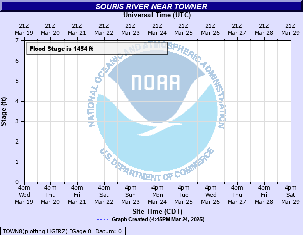
Souris River near Towner
Critical Stages
1453' - Action
1454' - Flood
1456' - Moderate
1458' - Major
Latest Observation
Updated: 6:09 PM LMT 12/31/00
Status: Obs Not Current
Stage: -999 ft
Flow: -999 kcfs
Forecast
Forecast not available for this location.
Observation history not available.
1461' -
Damage begins at farmer's structures. Ditching on the left side of the river appears to be able to handle a significant amount of water. Water leaving the banks would most likely stay in this ditch.
1458' -
Major flooding.
1457.8' -
At around 56.6 ft the eastbound lane of Highway 2 near SW of Towner gets water on it (westbound remains dry) and Highway 14 immediately south of Highway 2 is closed due to high water.
1456.7' -
Widespread flooding west and north of town with many roads affected.
1456.2' -
Secondary roads become covered with water. Farmers on the right side of the river looking downstream will be affected but little damage. Water bypasses gage at this height.
1456' -
Moderate flood stage. Flood problems begin with agricultural land and meadows affected.
1454' -
Minor flood stage with no significant problems.
1454' -
Minor flood stage with no significant problems.
| Date | Stage (ft) |
|---|---|
| Jun 28, 2011 | 1459.95 |
| Apr 1, 1976 | 1457.917 |
| Jun 11, 2013 | 1457.82 |
| Apr 22, 1996 | 1457.717 |
| Apr 19, 2009 | 1457.517 |
| Apr 26, 1979 | 1456.927 |
| Apr 22, 1976 | 1456.897 |
| May 23, 1999 | 1456.717 |
| Mar 29, 1999 | 1456.717 |
| Mar 29, 1995 | 1456.717 |
| Apr 3, 1987 | 1456.617 |
| Apr 3, 2001 | 1456.417 |
| Mar 27, 1996 | 1456.017 |
| May 19, 2001 | 1455.917 |
| May 4, 1982 | 1455.797 |
| May 9, 2001 | 1455.767 |
| Apr 12, 1983 | 1455.667 |
| Mar 27, 1994 | 1455.617 |
| Aug 2, 1993 | 1455.617 |
| Jul 6, 2005 | 1455.417 |
Data provided by the National Weather Service.