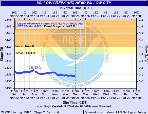
Willow Creek (ND) near Willow City
Critical Stages
1441' - Action
1442' - Flood
1446' - Moderate
1448' - Major
Latest Observation
Updated: 9:00 PM CST 12/14/25
Status: No Flooding
Stage: 1436.4 ft
Flow: 0.004 kcfs
Forecast
Forecast not available for this location.
| Time | Stage (ft) | Flow (kcfs) |
|---|---|---|
| 9:00 PM 12/14 | 1436.4 | 0.004 |
| 8:45 PM 12/14 | 1436.4 | 0.004 |
| 8:30 PM 12/14 | 1436.4 | 0.004 |
| 8:15 PM 12/14 | 1436.4 | 0.004 |
| 8:00 PM 12/14 | 1436.39 | 0.0037 |
| 7:45 PM 12/14 | 1436.4 | 0.004 |
| 7:30 PM 12/14 | 1436.39 | 0.0037 |
| 7:15 PM 12/14 | 1436.4 | 0.004 |
| 7:00 PM 12/14 | 1436.4 | 0.004 |
| 6:45 PM 12/14 | 1436.4 | 0.004 |
| 6:30 PM 12/14 | 1436.39 | 0.0037 |
| 6:15 PM 12/14 | 1436.4 | 0.004 |
| 6:00 PM 12/14 | 1436.39 | 0.0037 |
| 5:45 PM 12/14 | 1436.39 | 0.0037 |
| 5:30 PM 12/14 | 1436.4 | 0.004 |
| 5:15 PM 12/14 | 1436.39 | 0.0037 |
| 5:00 PM 12/14 | 1436.39 | 0.0037 |
| 4:45 PM 12/14 | 1436.39 | 0.0037 |
| 4:30 PM 12/14 | 1436.39 | 0.0037 |
| 4:15 PM 12/14 | 1436.39 | 0.0037 |
| 4:00 PM 12/14 | 1436.39 | 0.0037 |
| 3:45 PM 12/14 | 1436.39 | 0.0037 |
| 3:30 PM 12/14 | 1436.39 | 0.0037 |
| 3:15 PM 12/14 | 1436.39 | 0.0037 |
| 3:00 PM 12/14 | 1436.39 | 0.0037 |
| 2:45 PM 12/14 | 1436.39 | 0.0037 |
| 2:30 PM 12/14 | 1436.39 | 0.0037 |
| 2:15 PM 12/14 | 1436.39 | 0.0037 |
| 2:00 PM 12/14 | 1436.39 | 0.0037 |
| 1:45 PM 12/14 | 1436.39 | 0.0037 |
1447' -
County roads are closed with 3 houses cut off per Emergency Manager.
1442.7' -
Overflow occurs on left bank.
1441.2' -
Water begins backing up into ravines and gets to top of road by gage.
1440.5' -
Creek out of banks in low spots north and west of gage. Water level just below top of culverts.
| Date | Stage (ft) |
|---|---|
| Apr 12, 1969 | 1448.59 |
| Apr 23, 1979 | 1447.93 |
| Apr 4, 1976 | 1447.77 |
| Apr 17, 1974 | 1447.73 |
| Apr 14, 1996 | 1447.6 |
| Jul 11, 2005 | 1447.6 |
| Apr 29, 1975 | 1447.37 |
| Apr 12, 2011 | 1447.07 |
| Apr 11, 1999 | 1447.05 |
| Apr 1, 2017 | 1446.79 |
| Mar 27, 1995 | 1446.62 |
| Apr 12, 2009 | 1446.2 |
| Apr 10, 2001 | 1446.06 |
| Apr 3, 2006 | 1445.9 |
| Apr 9, 1960 | 1445.86 |
| Apr 5, 1997 | 1444.88 |
| Apr 7, 1983 | 1444.23 |
| Jun 17, 2004 | 1444.15 |
| Jul 12, 2014 | 1443.9 |
| Jun 29, 2010 | 1443.43 |
Data provided by the National Weather Service.