« Back to Broken Bow Lake Rivers
Rolling Fork near DeQueen
Critical Stages
23.5' - Action
24' - Flood
25' - Moderate
26' - Major
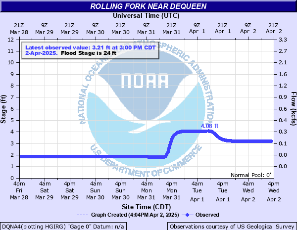
Latest Observation
Updated: 1:00 AM CST 12/15/25
Status: No Flooding
Stage: 1.97 ft
Flow: 0.0045 kcfs
Forecast
Forecast not available for this location.
| Time | Stage (ft) | Flow (kcfs) |
|---|---|---|
| 1:00 AM 12/15 | 1.97 | 0.0045 |
| 12:45 AM 12/15 | 1.97 | 0.0045 |
| 12:30 AM 12/15 | 1.97 | 0.0045 |
| 12:15 AM 12/15 | 1.97 | 0.0045 |
| 12:00 AM 12/15 | 1.97 | 0.0045 |
| 11:45 PM 12/14 | 1.97 | 0.0045 |
| 11:30 PM 12/14 | 1.97 | 0.0045 |
| 11:15 PM 12/14 | 1.97 | 0.0045 |
| 11:00 PM 12/14 | 1.97 | 0.0045 |
| 10:45 PM 12/14 | 1.97 | 0.0045 |
| 10:30 PM 12/14 | 1.97 | 0.0045 |
| 10:15 PM 12/14 | 1.97 | 0.0045 |
| 10:00 PM 12/14 | 1.97 | 0.0045 |
| 9:45 PM 12/14 | 1.98 | 0.005 |
| 9:30 PM 12/14 | 1.97 | 0.0045 |
| 9:15 PM 12/14 | 1.97 | 0.0045 |
| 9:00 PM 12/14 | 1.97 | 0.0045 |
| 8:45 PM 12/14 | 1.97 | 0.0045 |
| 8:30 PM 12/14 | 1.97 | 0.0045 |
| 8:15 PM 12/14 | 1.97 | 0.0045 |
| 8:00 PM 12/14 | 1.98 | 0.005 |
| 7:45 PM 12/14 | 1.98 | 0.005 |
| 7:30 PM 12/14 | 1.98 | 0.005 |
| 7:15 PM 12/14 | 1.98 | 0.005 |
| 7:00 PM 12/14 | 1.98 | 0.005 |
| 6:45 PM 12/14 | 1.98 | 0.005 |
| 6:30 PM 12/14 | 1.98 | 0.005 |
| 6:15 PM 12/14 | 1.98 | 0.005 |
| 6:00 PM 12/14 | 1.98 | 0.005 |
| 5:45 PM 12/14 | 1.98 | 0.005 |
24' -
Widespread rural lowland flooding of several hundreds of acres.
22' -
Flooding of pastureland begins and cattle should be moved to higher ground at this stage.
20' -
Overbank flooding and minor lowland flooding begins.
| Date | Stage (ft) |
|---|---|
| Aug 28, 1947 | 25.6 |
| Dec 10, 1971 | 24.23 |
| May 13, 1968 | 23.34 |
| May 11, 1953 | 21.96 |
| Jan 30, 1969 | 21.74 |
| Jan 13, 1950 | 21.04 |
| Feb 12, 1950 | 20.52 |
| Sep 16, 1950 | 20.49 |
| Nov 17, 1958 | 20.28 |
| Jan 24, 1949 | 20.16 |
| May 6, 1967 | 20.12 |
| May 6, 1961 | 20.11 |
Data provided by the National Weather Service.