« Back to Broken Bow Lake Rivers
Mountain Fork near Eagletown
Critical Stages
9' - Action
11' - Flood
12' - Moderate
14' - Major
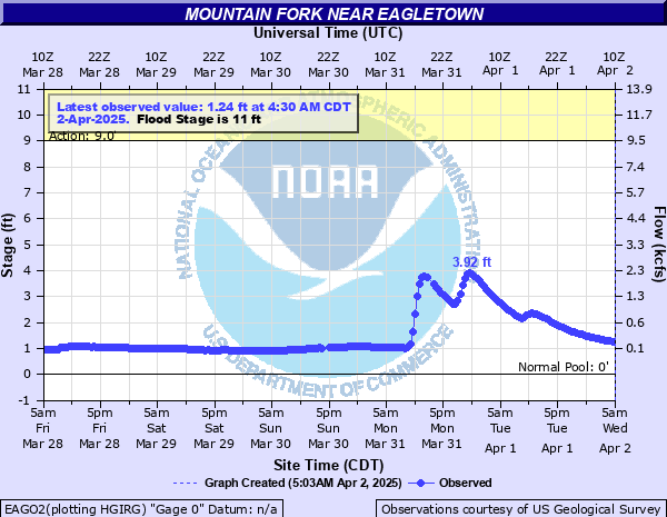
Latest Observation
Updated: 11:30 PM CST 12/14/25
Status: No Flooding
Stage: 5.81 ft
Flow: 4.2 kcfs
Forecast
Forecast not available for this location.
| Time | Stage (ft) | Flow (kcfs) |
|---|---|---|
| 11:30 PM 12/14 | 5.81 | 4.2 |
| 11:00 PM 12/14 | 6.2 | 4.65 |
| 10:30 PM 12/14 | 6.56 | 5.1 |
| 10:00 PM 12/14 | 6.5 | 5.03 |
| 9:30 PM 12/14 | 5.9 | 4.3 |
| 9:00 PM 12/14 | 5.25 | 3.58 |
| 8:30 PM 12/14 | 4.94 | 3.24 |
| 8:00 PM 12/14 | 4.77 | 3.04 |
| 7:30 PM 12/14 | 4.58 | 2.84 |
| 7:00 PM 12/14 | 4.33 | 2.6 |
| 6:30 PM 12/14 | 4.16 | 2.41 |
| 6:00 PM 12/14 | 4.01 | 2.25 |
| 5:30 PM 12/14 | 4 | 2.24 |
| 5:00 PM 12/14 | 4.13 | 2.38 |
| 4:30 PM 12/14 | 4.27 | 2.53 |
| 4:00 PM 12/14 | 4.34 | 2.61 |
| 3:30 PM 12/14 | 4.48 | 2.74 |
| 3:00 PM 12/14 | 4.6 | 2.86 |
| 2:30 PM 12/14 | 4.7 | 2.97 |
| 2:00 PM 12/14 | 4.78 | 3.06 |
| 1:30 PM 12/14 | 4.89 | 3.18 |
| 1:00 PM 12/14 | 4.89 | 3.18 |
| 12:30 PM 12/14 | 4.83 | 3.11 |
| 12:00 PM 12/14 | 4.65 | 2.91 |
| 11:30 AM 12/14 | 4.36 | 2.63 |
| 11:00 AM 12/14 | 3.96 | 2.19 |
| 10:30 AM 12/14 | 3.43 | 1.67 |
| 10:00 AM 12/14 | 2.78 | 1.13 |
| 9:30 AM 12/14 | 2.11 | 0.668 |
| 9:00 AM 12/14 | 1.62 | 0.366 |
20' -
Expect major flooding equal very similar to the December 28 of 2015 flood with major damage to trails, access roads, and driveways. Numerous homes and cabins are cutoff by high water. The Mountain Fork is extremely swift and turbulent with large breaking waves upwards of eight feet in height.
17' -
Major flooding develops as the Mountain Fork is very swift and turbulent due to reservoir releases from Broken Bow Dam. Boating becomes very diffucult. Bank erosion expected at these stages. Trails next to the Mountain Fork damaged by high water. A cabin complex becomes cutoff by high water.
14' -
Major flooding begins as some camps and cabins along the lower Mountain Fork near its confluence with the Little River become cutoff by high water. Very turbulent and swift water develops and all recreational activities near and on the water are highly discouraged.
13' -
Moderate lowland flooding. The Mountain Fork is very swift and turbulent. Flows from Broken Bow Dam approach some 25,000 cubic feet per second.
12' -
Moderate lowland flooding. Bank erosion issues are possible. Flows from Broken Bow Dam approach some 20,000 cubic feet per second. The Mountain Fork becomes swift and turbulent.
11' -
Streamflows on the Mountain Fork become swift and turbulent. Recreational users such as swimmers, boaters, kayakers, and inner tube floaters should exercise extreme caution or better yet, avoid the Mountain Fork completely.
9' -
Streamflows on the Mountain Fork become swift at stages near and above nine feet. Recreational users such as swimmers, boaters, kayakers, and inner tube floaters should exercise caution.
| Date | Stage (ft) |
|---|---|
| May 20, 1960 | 26.73 |
| Aug 15, 1915 | 26.4 |
| Mar 29, 1945 | 25.8 |
| Aug 28, 1947 | 25.7 |
| Feb 12, 1950 | 25.66 |
| Jan 24, 1938 | 25 |
| Jan 24, 1949 | 24.77 |
| Feb 18, 1938 | 23.5 |
| May 25, 1946 | 23.3 |
| Apr 17, 1938 | 23 |
| Feb 17, 1932 | 22.5 |
| May 5, 1935 | 21.94 |
| May 1, 1949 | 21.85 |
| Jan 1, 1948 | 21.73 |
| Feb 21, 1945 | 21.3 |
| Apr 17, 1939 | 21.19 |
| Apr 22, 1952 | 21.08 |
| Jan 13, 1950 | 20.62 |
| Dec 12, 1946 | 20.5 |
| May 15, 1945 | 20.32 |
Data provided by the National Weather Service.