« Back to Broken Bow Lake Rivers
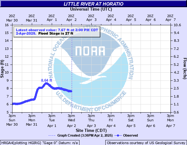
Little River at Horatio
Critical Stages
20.5' - Action
27' - Flood
28.5' - Moderate
30' - Major
Latest Observation
Updated: 12:00 AM CST 12/15/25
Status: No Flooding
Stage: 7.83 ft
Flow: 2.18 kcfs
Forecast
Forecast not available for this location.
| Time | Stage (ft) | Flow (kcfs) |
|---|---|---|
| 12:00 AM 12/15 | 7.83 | 2.18 |
| 11:45 PM 12/14 | 7.79 | 2.15 |
| 11:30 PM 12/14 | 7.75 | 2.12 |
| 11:15 PM 12/14 | 7.7 | 2.08 |
| 11:00 PM 12/14 | 7.64 | 2.04 |
| 10:45 PM 12/14 | 7.58 | 2 |
| 10:30 PM 12/14 | 7.52 | 1.95 |
| 10:15 PM 12/14 | 7.44 | 1.89 |
| 10:00 PM 12/14 | 7.36 | 1.84 |
| 9:45 PM 12/14 | 7.27 | 1.77 |
| 9:30 PM 12/14 | 7.18 | 1.71 |
| 9:15 PM 12/14 | 7.07 | 1.63 |
| 9:00 PM 12/14 | 6.96 | 1.56 |
| 8:45 PM 12/14 | 6.84 | 1.48 |
| 8:30 PM 12/14 | 6.71 | 1.39 |
| 8:15 PM 12/14 | 6.57 | 1.3 |
| 8:00 PM 12/14 | 6.43 | 1.22 |
| 7:45 PM 12/14 | 6.29 | 1.13 |
| 7:30 PM 12/14 | 6.15 | 1.05 |
| 7:15 PM 12/14 | 6.03 | 0.977 |
| 7:00 PM 12/14 | 5.93 | 0.918 |
| 6:45 PM 12/14 | 5.84 | 0.866 |
| 6:30 PM 12/14 | 5.77 | 0.826 |
| 6:15 PM 12/14 | 5.73 | 0.805 |
| 6:00 PM 12/14 | 5.7 | 0.789 |
| 5:45 PM 12/14 | 5.69 | 0.783 |
| 5:30 PM 12/14 | 5.68 | 0.778 |
| 5:15 PM 12/14 | 5.69 | 0.783 |
| 5:00 PM 12/14 | 5.7 | 0.789 |
| 4:45 PM 12/14 | 5.71 | 0.794 |
38' -
Record flooding of tens of thousands of acres throughout much of Little River and Sevier counties of Arkansas.
34' -
Serious flooding of several thousands of acres of grazing and farming land will take place. The Kansas City Southern railroad bed will be flooded both northwest and southeast of the highway 41 bridge. Several secondary roadways will be cutoff in the area. Also expect severe backwater flooding on the Cossatot and Rolling Fork Rivers at and upstream from their confluences with the Little River.
30' -
The golf course west of Horatio, Arkansas floods. Also ranchers should evacuate cattle and farm machinery to higher ground and have preparations complete for a major flood. Expect considerable lowland flooding of several hundred acres of grazing and farming land. Expect major backwater flooding of small tributaries at their confluence with the Little River such as the Cossatot and the Rolling Fork Rivers.
29' -
The boat ramp recreation area at Wilton, Arkansas downstream from Horatio is flooded and closed. Also the golf course west of Horatio, Arkansas suffers from overflow.
27' -
The golf course west of Horatio is cut off from vehicle traffic by floodwaters. A few hundred acres of lowland flood both upstream and downstream from the highway 41 bridge.
| Date | Stage (ft) |
|---|---|
| Aug 21, 1915 | 38 |
| Mar 30, 1945 | 37.7 |
| Jan 25, 1938 | 36.93 |
| Feb 19, 1938 | 36.48 |
| Jan 27, 1949 | 35.58 |
| May 6, 1935 | 34.8 |
| Dec 30, 2015 | 34.69 |
| Apr 23, 1952 | 34.26 |
| Feb 13, 1950 | 34.06 |
| Jun 19, 1935 | 33.37 |
| Apr 28, 1957 | 33.13 |
| Jul 29, 1947 | 32.99 |
| Dec 10, 1971 | 32.85 |
| Sep 17, 1950 | 32.8 |
| Feb 22, 1945 | 32.78 |
| May 3, 1958 | 32.7 |
| Jan 14, 1950 | 32.66 |
| Feb 28, 1945 | 32.65 |
| May 3, 1944 | 32.64 |
| May 12, 1953 | 32.32 |
Data provided by the National Weather Service.