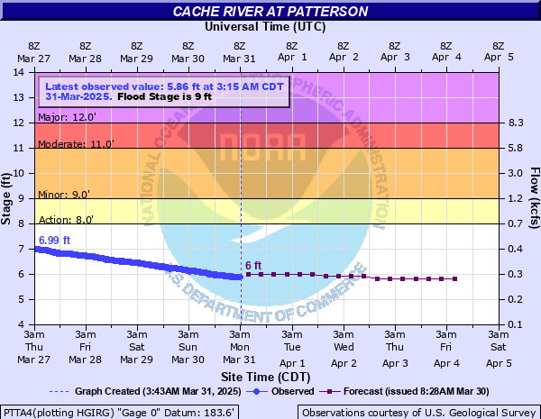
Cache River at Patterson
Critical Stages
8' - Action
9' - Flood
11' - Moderate
12' - Major
Latest Observation
Updated: 12:15 AM CST 12/15/25
Status: No Flooding
Stage: 2.84 ft
Flow: 0.0147 kcfs
Forecast
| Time | Stage (ft) | Flow (kcfs) |
|---|---|---|
| 6 AM 12/15 | 2.9 | 0.0185 |
| 12 PM 12/15 | 2.9 | 0.0185 |
| 6 PM 12/15 | 2.9 | 0.0185 |
| 12 AM 12/16 | 2.9 | 0.0185 |
| 6 AM 12/16 | 2.9 | 0.0185 |
| 12 PM 12/16 | 2.9 | 0.0185 |
| 6 PM 12/16 | 2.9 | 0.0185 |
| 12 AM 12/17 | 2.9 | 0.0185 |
| 6 AM 12/17 | 2.9 | 0.0185 |
| 12 PM 12/17 | 2.9 | 0.0185 |
| 6 PM 12/17 | 2.9 | 0.0185 |
| 12 AM 12/18 | 2.9 | 0.0185 |
| 6 AM 12/18 | 2.9 | 0.0185 |
| 12 PM 12/18 | 2.9 | 0.0185 |
| 6 PM 12/18 | 2.9 | 0.0185 |
| 12 AM 12/19 | 2.9 | 0.0185 |
| 6 AM 12/19 | 2.9 | 0.0185 |
| Time | Stage (ft) | Flow (kcfs) |
|---|---|---|
| 12:15 AM 12/15 | 2.84 | 0.0147 |
| 12:00 AM 12/15 | 2.84 | 0.0147 |
| 11:45 PM 12/14 | 2.84 | 0.0147 |
| 11:30 PM 12/14 | 2.84 | 0.0147 |
| 11:15 PM 12/14 | 2.84 | 0.0147 |
| 11:00 PM 12/14 | 2.84 | 0.0147 |
| 10:45 PM 12/14 | 2.84 | 0.0147 |
| 10:30 PM 12/14 | 2.84 | 0.0147 |
| 10:15 PM 12/14 | 2.84 | 0.0147 |
| 10:00 PM 12/14 | 2.84 | 0.0147 |
| 9:45 PM 12/14 | 2.84 | 0.0147 |
| 9:30 PM 12/14 | 2.84 | 0.0147 |
| 9:15 PM 12/14 | 2.84 | 0.0147 |
| 9:00 PM 12/14 | 2.84 | 0.0147 |
| 8:45 PM 12/14 | 2.84 | 0.0147 |
| 8:30 PM 12/14 | 2.84 | 0.0147 |
| 8:15 PM 12/14 | 2.84 | 0.0147 |
| 8:00 PM 12/14 | 2.84 | 0.0147 |
| 7:45 PM 12/14 | 2.84 | 0.0147 |
| 7:30 PM 12/14 | 2.84 | 0.0147 |
| 7:15 PM 12/14 | 2.84 | 0.0147 |
| 7:00 PM 12/14 | 2.84 | 0.0147 |
| 6:45 PM 12/14 | 2.85 | 0.0152 |
| 6:30 PM 12/14 | 2.85 | 0.0152 |
| 6:15 PM 12/14 | 2.85 | 0.0152 |
| 6:00 PM 12/14 | 2.85 | 0.0152 |
| 5:45 PM 12/14 | 2.85 | 0.0152 |
| 5:30 PM 12/14 | 2.85 | 0.0152 |
| 5:15 PM 12/14 | 2.85 | 0.0152 |
| 5:00 PM 12/14 | 2.85 | 0.0152 |
16' -
Water in locations not imagined all over Craighead, Jackson, and Woodruff counties. Extensive sandbagging and evacuations required. Many state highways and county roads closed. Nearly solid sheet of water from the White River levees across to high ground near U.S. Highway 49. Village Creek, Cache River, Bayou DeView appear as one river. Historic crest of April 1927.
13' -
Levee protecting many acres of croplands and a few homes may be overtopped near the Remmel Community south of State Highway 14. State Highway 37 near Grubbs overtopped. Homes in Patterson may be flooded. Water may be on State Highways 260 near Grays, State Highway 33 between Gregory and Little Dixie, and State Highway 38 between Dixie and Cotton Plant.
12.5' -
Major problems in Grubbs, Patterson, Dixie, and Amagon in Jackson and Woodruff counties. Woodruff County Road 775 flooded. State Highways 18, 37, 33, and 38 affected in various locations in Woodruff and Jackson counties. Many homes miles from the main river channel may need to be protected by ring levees.
12' -
Water near foundations of homes on Pine Street in Patterson. Cabins and camps along State Highway 14, 18, and 33 flooded. State Highway 37 near Grubbs may be partially flooded. Water may be on State Highway 33 between Gregory and Little Dixie. Most unprotected farmlands flooded and some levees overtopped. AGFC may close areas within the Brushy Creek WMA, Earl Buss Bayou DeView WMA, and Whitehall WMA for deer hunting due to flooding.
12' -
Water near foundations of homes on Pine Street in Patterson. Cabins and camps along State Highway 14, 18, and 33 flooded. State Highway 37 near Grubbs may be partially flooded. Water may be on State Highway 33 between Gregory and Little Dixie. Most unprotected farmlands flooded and some levees overtopped.
11' -
Water near homes on Pine Street in Patterson. Water deep over Woodruff County Road 775. Water around camps along State Highways 14 and 18 in Jackson County. Many acres of cropland, pastures, and timberland flooded in Craighead, Jackson, and Woodruff counties.
11' -
Water near homes on Pine Street in Patterson. Water deep over Woodruff County Road 775. Water around camps along State Highways 14 and 18 in Jackson County. Many acres of cropland, pastures, and timberland flooded in Craighead, Jackson, and Woodruff counties. AGFC may close WMA inside Woodruff County for deer hunting due to flooding.
10.5' -
Water deep over Woodruff County Road 775 north of HWY 260, and intersection of HWY 37 and HWY 18 east of Grubbs. Water is encroaching on yards of homes on Pine Street in Patterson. Many acres of cropland, pastures, and timber flooded in Jackson and Woodruff counties.
10' -
Pastureland and cropland not protected by levees in Jackson and Woodruff counties affected. Water is over portions of State Highway 37 and deep along the shoulders of State Highway 18 near Grubbs. Water over portions of Woodruff County Road 775 north of State Highway 260.
9' -
Low swampy timberland along the river begins to flood. Flood gates should be closed and equipment moved out of the low grounds along the river and tributaries.
8' -
Low swampy timberland along the river begins to flood.
| Date | Stage (ft) |
|---|---|
| Apr 19, 1927 | 16.1 |
| Jan 24, 1937 | 13.2 |
| May 5, 2011 | 12.87 |
| Dec 18, 2001 | 12.59 |
| Jan 11, 1991 | 12.52 |
| Mar 1, 2018 | 12.35 |
| Dec 6, 2011 | 12.34 |
| May 2, 2017 | 12.3 |
| Apr 7, 2025 | 12.17 |
| Feb 25, 2018 | 12.14 |
| Nov 30, 2015 | 12.13 |
| Apr 21, 1945 | 12.1 |
| Mar 14, 2015 | 12.08 |
| Feb 1, 1969 | 12.06 |
| Nov 22, 1957 | 12 |
| Dec 26, 2009 | 11.94 |
| Dec 28, 1987 | 11.93 |
| Nov 28, 1988 | 11.92 |
| Mar 6, 1997 | 11.9 |
| Feb 24, 1938 | 11.9 |
Data provided by the National Weather Service.