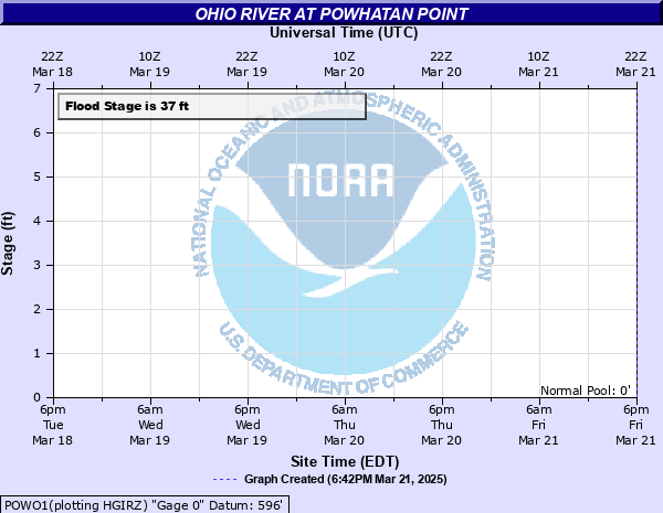
Ohio River at Powhatan Point
Critical Stages
29' - Action
37' - Flood
39' - Moderate
41' - Major
Latest Observation
Updated: 7:03 PM LMT 12/31/00
Status: Obs Not Current
Stage: -999 ft
Flow: -999 kcfs
Forecast
Forecast not available for this location.
Observation history not available.
53.3' -
Flooding reaches levels equal to the Saint Patrick's Day Flood in 1936.
46' -
Flooing reaches homes along Riverview Road.
44' -
The athletic fields and swimming pool area are flooded along with the area between Clark Street and the Ohio River.
41' -
Most of downtown Powhatan Point south of Captina Creek is flooded with the exception of a small portion of First Street.
40' -
The bridge on Route 7 over Captina Creek is flooded.
39' -
Flooding begins near the water treatment plant.
38' -
Flooding begins on Water and Mellot Streets.
37' -
Minor flooding begins near the intersection of Sarich and Seymour Streets, the intersection of Water and Second Streets, and on Mellott Street near the railroad tracks.
| Date | Stage (ft) |
|---|---|
| Mar 19, 1936 | 53.3 |
| Sep 19, 2004 | 45.6 |
| Jan 21, 1996 | 44.7 |
| Jan 7, 2005 | 42.65 |
| Apr 4, 2024 | 42 |
| Jan 6, 2004 | 36.8 |
| Jan 13, 2005 | 35.8 |
| Nov 6, 1985 | 35.3 |
| Nov 28, 1985 | 34.7 |
| Nov 17, 1985 | 34.3 |
| Feb 16, 1984 | 33.4 |
Data provided by the National Weather Service.