« Back to Calhoun County Rivers
Spring Creek near Iron City (CR 16)
Critical Stages
12' - Action
16' - Flood
18' - Moderate
22' - Major
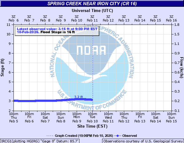
Latest Observation
Updated: 12:00 AM EST 12/5/25
Status: Low Threshold
Stage: 1.78 ft
Flow: 0.0465 kcfs
Forecast
Forecast not available for this location.
| Time | Stage (ft) | Flow (kcfs) |
|---|---|---|
| 12:00 AM 12/5 | 1.78 | 0.0465 |
| 11:45 PM 12/4 | 1.77 | 0.0458 |
| 11:30 PM 12/4 | 1.77 | 0.0458 |
| 11:15 PM 12/4 | 1.77 | 0.0458 |
| 11:00 PM 12/4 | 1.77 | 0.0458 |
| 10:45 PM 12/4 | 1.77 | 0.0458 |
| 10:30 PM 12/4 | 1.77 | 0.0458 |
| 10:15 PM 12/4 | 1.76 | 0.0451 |
| 10:00 PM 12/4 | 1.76 | 0.0451 |
| 9:45 PM 12/4 | 1.76 | 0.0451 |
| 9:30 PM 12/4 | 1.76 | 0.0451 |
| 9:15 PM 12/4 | 1.76 | 0.0451 |
| 9:00 PM 12/4 | 1.76 | 0.0451 |
| 8:45 PM 12/4 | 1.75 | 0.0444 |
| 8:30 PM 12/4 | 1.75 | 0.0444 |
| 8:15 PM 12/4 | 1.75 | 0.0444 |
| 8:00 PM 12/4 | 1.75 | 0.0444 |
| 7:45 PM 12/4 | 1.75 | 0.0444 |
| 7:30 PM 12/4 | 1.75 | 0.0444 |
| 7:15 PM 12/4 | 1.74 | 0.0437 |
| 7:00 PM 12/4 | 1.74 | 0.0437 |
| 6:45 PM 12/4 | 1.74 | 0.0437 |
| 6:30 PM 12/4 | 1.74 | 0.0437 |
| 6:15 PM 12/4 | 1.74 | 0.0437 |
| 6:00 PM 12/4 | 1.73 | 0.043 |
| 5:45 PM 12/4 | 1.73 | 0.043 |
| 5:30 PM 12/4 | 1.72 | 0.0423 |
| 5:15 PM 12/4 | 1.71 | 0.0417 |
| 5:00 PM 12/4 | 1.7 | 0.041 |
| 4:45 PM 12/4 | 1.71 | 0.0417 |
24.4' -
Flood of record in 1998 on Spring Creek.
22' -
Many homes along Spring Creek become subject to flooding.
20' -
Access to many homes cut off along Spring Creek in Miller, Decatur and Seminole Counties.
18' -
Flood waters approach homes near Yates Road and Smith Landing.
16' -
Spring Creek begins to overflow low lying areas.
| Date | Stage (ft) |
|---|---|
| Mar 10, 1998 | 24.4 |
| Mar 30, 2009 | 20.75 |
| Apr 4, 2009 | 20.56 |
| Jul 8, 1994 | 19.95 |
| Apr 12, 1975 | 19.43 |
| Feb 27, 2013 | 19.33 |
| Feb 14, 1995 | 18.86 |
| Jan 28, 1978 | 18.35 |
| Feb 3, 1973 | 18.28 |
| Mar 5, 1991 | 18.04 |
| Apr 3, 2016 | 18.01 |
| Apr 3, 2005 | 17.98 |
| Dec 5, 2018 | 17.9 |
| May 2, 2014 | 17.88 |
| Apr 6, 1960 | 17.8 |
| Jan 13, 1993 | 17.76 |
| Dec 10, 1948 | 17.7 |
| Feb 10, 2020 | 17.63 |
| Apr 18, 1961 | 17.6 |
| Mar 10, 1947 | 17.6 |
Data provided by the National Weather Service.