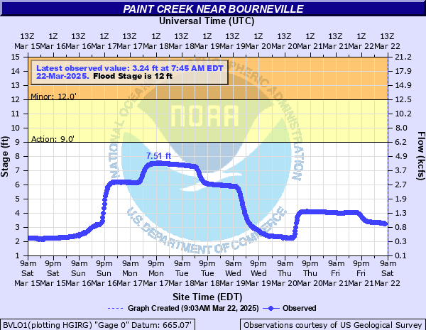
Paint Creek near Bourneville
Critical Stages
9' - Action
12' - Flood
15' - Moderate
19' - Major
Latest Observation
Updated: 12:45 AM EST 12/5/25
Status: No Flooding
Stage: 2.49 ft
Flow: 0.397 kcfs
Forecast
Forecast not available for this location.
| Time | Stage (ft) | Flow (kcfs) |
|---|---|---|
| 1:45 AM 12/5 | 2.49 | 0.397 |
| 1:30 AM 12/5 | 2.49 | 0.397 |
| 1:15 AM 12/5 | 2.49 | 0.397 |
| 1:00 AM 12/5 | 2.49 | 0.397 |
| 12:45 AM 12/5 | 2.49 | 0.397 |
| 12:30 AM 12/5 | 2.49 | 0.397 |
| 12:15 AM 12/5 | 2.49 | 0.397 |
| 12:00 AM 12/5 | 2.5 | 0.4 |
| 11:45 PM 12/4 | 2.5 | 0.4 |
| 11:30 PM 12/4 | 2.5 | 0.4 |
| 11:15 PM 12/4 | 2.5 | 0.4 |
| 11:00 PM 12/4 | 2.51 | 0.403 |
| 10:45 PM 12/4 | 2.51 | 0.403 |
| 10:30 PM 12/4 | 2.51 | 0.403 |
| 10:15 PM 12/4 | 2.51 | 0.403 |
| 10:00 PM 12/4 | 2.52 | 0.406 |
| 9:45 PM 12/4 | 2.52 | 0.406 |
| 9:30 PM 12/4 | 2.53 | 0.409 |
| 9:15 PM 12/4 | 2.53 | 0.409 |
| 9:00 PM 12/4 | 2.54 | 0.413 |
| 8:45 PM 12/4 | 2.55 | 0.416 |
| 8:30 PM 12/4 | 2.55 | 0.416 |
| 8:15 PM 12/4 | 2.56 | 0.419 |
| 8:00 PM 12/4 | 2.57 | 0.422 |
| 7:45 PM 12/4 | 2.58 | 0.425 |
| 7:30 PM 12/4 | 2.59 | 0.428 |
| 7:15 PM 12/4 | 2.61 | 0.434 |
| 7:00 PM 12/4 | 2.62 | 0.437 |
| 6:45 PM 12/4 | 2.64 | 0.444 |
| 6:30 PM 12/4 | 2.66 | 0.45 |
21' -
This will exceed the flood of record of 20.5 feet set in 1964. At a river stage of this level, much of the low areas of Bourneville, as well as low areas along Paint Creek across western Ross County, are flooded.
19' -
Water from Paint Creek results in two to three feet of water flowing into the town of Bourneville. Much of southwest Ross County experiences moderate flooding along Paint Creek.
18' -
This is similar to the FEMA 1 percent flood. About two feet of water flows into Bourneville. Much of southwest Ross County near Paint Creek experiences moderate flooding.
17' -
About a foot of water flows into Bourneville. Minor flooding also occurs in much of southwest Ross County near Paint Creek.
15' -
Flooding begins to affect southeastern portions of Bourneville, as well as much of western Ross County near Paint Creek. Also, water reaches the top of the levee near Bourneville.
13' -
Flooding occurs on Alum Cliff Road and approaches Boswell Run Road. Lowland flooding occurs in Paxton and Twin Townships in Ross County.
12' -
Lowland flooding occurs in Paxton and Twin Townships in Ross County with water approaching Alum Cliff and Boswell Run Roads.
| Date | Stage (ft) |
|---|---|
| Mar 10, 1964 | 20.5 |
| Mar 5, 1963 | 20.08 |
| Mar 6, 1945 | 19.2 |
| Jan 25, 1937 | 18.92 |
| Apr 20, 1940 | 18.8 |
| May 14, 1933 | 18.72 |
| May 24, 1968 | 18.48 |
| Mar 20, 1943 | 18.4 |
| Aug 20, 1926 | 17.9 |
| Apr 2, 1970 | 16.48 |
| Jul 23, 1965 | 16.33 |
| Dec 30, 1990 | 16.08 |
| Aug 16, 1935 | 15.7 |
| Jan 15, 1951 | 15.6 |
| Jan 22, 1959 | 15.6 |
| Dec 31, 1923 | 15.3 |
| Aug 22, 1990 | 15.23 |
| Mar 2, 1997 | 13.77 |
| Oct 5, 2006 | 13.7 |
| Apr 10, 1994 | 13.69 |
Data provided by the National Weather Service.