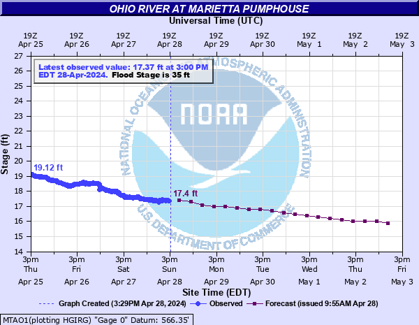
Ohio River at Marietta Pumphouse
Critical Stages
33' - Action
35' - Flood
38' - Moderate
40' - Major
Latest Observation
Updated: 1:00 AM EST 12/5/25
Status: No Flooding
Stage: 16.65 ft
Flow: -999 kcfs
Forecast
| Time | Stage (ft) | Flow (kcfs) |
|---|---|---|
| 7 AM 12/5 | 16 | -999 |
| 1 PM 12/5 | 16 | -999 |
| 7 PM 12/5 | 15.9 | -999 |
| 1 AM 12/6 | 15.9 | -999 |
| 7 AM 12/6 | 15.9 | -999 |
| 1 PM 12/6 | 15.9 | -999 |
| 7 PM 12/6 | 15.9 | -999 |
| 1 AM 12/7 | 15.9 | -999 |
| 7 AM 12/7 | 15.9 | -999 |
| 1 PM 12/7 | 15.9 | -999 |
| 7 PM 12/7 | 15.8 | -999 |
| 1 AM 12/8 | 15.8 | -999 |
| 7 AM 12/8 | 15.8 | -999 |
| 1 PM 12/8 | 15.8 | -999 |
| 7 PM 12/8 | 15.8 | -999 |
| 1 AM 12/9 | 15.8 | -999 |
| 7 AM 12/9 | 15.8 | -999 |
| Time | Stage (ft) | Flow (kcfs) |
|---|---|---|
| 1:00 AM 12/5 | 16.65 | -999 |
| 12:45 AM 12/5 | 16.56 | -999 |
| 12:30 AM 12/5 | 16.56 | -999 |
| 12:15 AM 12/5 | 16.51 | -999 |
| 12:00 AM 12/5 | 16.57 | -999 |
| 11:45 PM 12/4 | 16.58 | -999 |
| 11:30 PM 12/4 | 16.6 | -999 |
| 11:15 PM 12/4 | 16.58 | -999 |
| 11:00 PM 12/4 | 16.61 | -999 |
| 10:45 PM 12/4 | 16.61 | -999 |
| 10:30 PM 12/4 | 16.53 | -999 |
| 10:15 PM 12/4 | 16.6 | -999 |
| 10:00 PM 12/4 | 16.62 | -999 |
| 9:45 PM 12/4 | 16.62 | -999 |
| 9:30 PM 12/4 | 16.61 | -999 |
| 9:15 PM 12/4 | 16.6 | -999 |
| 9:00 PM 12/4 | 16.61 | -999 |
| 8:45 PM 12/4 | 16.64 | -999 |
| 8:30 PM 12/4 | 16.61 | -999 |
| 8:15 PM 12/4 | 16.61 | -999 |
| 8:00 PM 12/4 | 16.6 | -999 |
| 7:45 PM 12/4 | 16.66 | -999 |
| 7:30 PM 12/4 | 16.68 | -999 |
| 7:15 PM 12/4 | 16.66 | -999 |
| 7:00 PM 12/4 | 16.67 | -999 |
| 6:45 PM 12/4 | 16.67 | -999 |
| 6:30 PM 12/4 | 16.67 | -999 |
| 6:15 PM 12/4 | 16.67 | -999 |
| 6:00 PM 12/4 | 16.64 | -999 |
| 5:45 PM 12/4 | 16.65 | -999 |
42' -
Most business, homes, and roads are flooded throughout Marietta at stages 42 feet and above.
41' -
Several sections and business along Front, Greene, Hart, Butler and Second Streets and Elemwood Avenue are flooded. Portions of Fifth, Buckley, Knox, Fair and Ohio Streets are flooded.
40' -
Major flooding is occuring. Wayne Street at Eighth Street, Greene Street at Second, Seventh and Pike Streets, Front Street at Monroe Street and at the Armory, Pennsylvania Avenue at Linwood Street and at Eton Street, Second Street at Butler Street, and Scammel Street at Second and Third Streets are all flooded. On the West Side, Harmar Street at Maple and Pearl Streets, and Market Street at Fort Square are flooded.
39' -
Pike street at Lafayette, Greene at Third Street, Jefferson Street at East Eight Street, Third Street between Butler and Church Streets, and Second Street at Wooster Street are all flooded.
38' -
Elmwood Avenue at Ash, Hart, Pike and Charles Streets at Seventh Street, Church at Second Street, Butler at Fifth Street, Ohio Street at Second and Third Streets are all flooded.
37' -
Hart Street at Ash and Fourth Streets, Stark and Jefferson Streets at Seventh Street, Fourth Street at Butler Street, Second and Third Streets at Church Street, Spike Streeet at Olney Street, Lafayette and Wayne Streets at Eighth Street, Greene Street at Fifth and Sixth Streets are flooded.
36' -
Pike Street at the entrance to Phillips Elementary School, Elmwood Avenue and Hart Street start to flood. Eighth at Ohio and Stark Streets start to flood. Second and Third Streets between Green and Butler floods.
35' -
Stark Street at 7th Street, Pike Street at Wayne, Elmwood Avenue and Greene Street at the center of Don Drumm Field are flooded.
| Date | Stage (ft) |
|---|---|
| Mar 29, 1913 | 58.3 |
| Jan 26, 1937 | 55 |
| Feb 7, 1884 | 52.9 |
| Mar 16, 1907 | 50.5 |
| Feb 16, 1832 | 48.8 |
| Mar 12, 1964 | 45.2 |
| Sep 30, 1861 | 45 |
| Sep 19, 2004 | 44.97 |
| Jan 8, 2005 | 43.6 |
| Jan 24, 1959 | 41.4 |
| Jan 11, 1913 | 41.3 |
| Apr 5, 2024 | 40.07 |
| Feb 27, 1979 | 40 |
| Feb 18, 2018 | 39.58 |
| Jan 21, 1996 | 39.3 |
| Jan 1, 1991 | 38.3 |
| Apr 14, 2024 | 37.89 |
| Mar 8, 1967 | 37.8 |
| Mar 13, 2011 | 37.34 |
| Apr 5, 2018 | 36.4 |
Data provided by the National Weather Service.