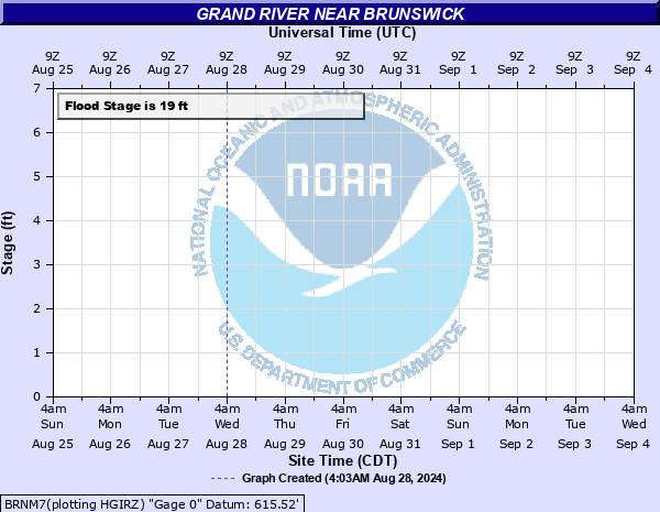
Grand River near Brunswick
Critical Stages
14' - Action
19' - Flood
27' - Moderate
33' - Major
Latest Observation
Updated: 6:09 PM LMT 12/31/00
Status: Obs Not Current
Stage: -999 ft
Flow: -999 kcfs
Forecast
Forecast not available for this location.
Observation history not available.
40.29' -
Water overtops the east end of the U.S. Highway 24 bridge about 1 mile west of Brunswick.
35.2' -
U.S. Highway 24 is flooded around one mile northwest of Brunswick.
34.6' -
The river floods the railroad tracks on the east side of the U.S. Highway 24 bridge near Brunswick.
33' -
The river threatens residences and reaches the bottom of the U.S. Highway 24 bridge around 1 mile west of Brunswick.
28' -
The river begins to flood Highway 24.
22' -
Low-lying areas along the east bank of the Grand River near the U.S. Highway 24 bridge begin to flood.
19' -
Flooding of low-lying areas occurs along the west bank of the Grand River near the U.S. Highway 24 bridge about 1 mile west of Brunswick.
| Date | Stage (ft) |
|---|---|
| Jul 13, 1993 | 34.4 |
| May 31, 2019 | 32.45 |
| May 13, 2007 | 30.51 |
| Jun 1, 2013 | 30.15 |
| Jun 30, 2008 | 29.8 |
| May 16, 2010 | 29.75 |
| May 28, 1995 | 29.6 |
| May 28, 1996 | 29.5 |
| Oct 7, 1998 | 29.1 |
| Jun 8, 2001 | 28.94 |
| Jun 18, 2010 | 28.9 |
| Oct 13, 2018 | 27.98 |
| May 14, 2002 | 27.95 |
| Apr 13, 1997 | 27.53 |
| May 12, 1996 | 27.2 |
| Sep 17, 2008 | 27 |
| Apr 1, 2019 | 26.83 |
| Mar 14, 2010 | 26.65 |
| Jul 31, 2008 | 26.5 |
| Dec 17, 2015 | 26.45 |
Data provided by the National Weather Service.