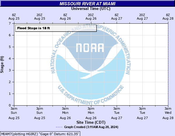
Missouri River at Miami
Critical Stages
15' - Action
18' - Flood
28' - Moderate
29' - Major
Latest Observation
Updated: 6:09 PM LMT 12/31/00
Status: Obs Not Current
Stage: -999 ft
Flow: -999 kcfs
Forecast
Forecast not available for this location.
Observation history not available.
29' -
Levees are overtopped. Farmland, homesteads, along with primary and secondary roads behind levees are flooded. State Highway 41 north of Miami is flooded. In addition, the Missouri River backs up Baker's ditch and floods 24 Highway about 1 mile northeast of De Witt.
28' -
Agricultural levees may be overtopped. Flooding of farmland, homes, and secondary roads behind levees is possible.
18' -
Low-lying rural areas outside of levees begin to flood.
| Date | Stage (ft) |
|---|---|
| Jul 30, 1993 | 32.6 |
| Jun 1, 2019 | 31.53 |
| Mar 26, 2019 | 29.6 |
| May 11, 2007 | 29.48 |
| Jul 16, 1951 | 29 |
| Jul 10, 2011 | 28.8 |
| Jun 19, 2010 | 28.5 |
| May 29, 2016 | 28.5 |
| May 20, 1995 | 28.4 |
| Apr 1, 1998 | 28.24 |
| Jun 7, 2015 | 28.2 |
| Nov 4, 1998 | 27.58 |
| Jun 30, 1999 | 27.5 |
| Oct 12, 2018 | 27.1 |
| Oct 6, 1998 | 27 |
| Jun 1, 2013 | 26.85 |
| Jun 14, 2008 | 26.75 |
| Apr 17, 1999 | 26.7 |
| May 29, 1996 | 26.5 |
| Apr 25, 1952 | 26.4 |
Data provided by the National Weather Service.