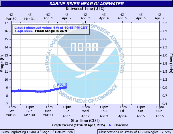
Sabine River near Gladewater
Critical Stages
25' - Action
26' - Flood
33' - Moderate
36' - Major
Latest Observation
Updated: 5:15 PM CST 12/6/25
Status: No Flooding
Stage: 6.84 ft
Flow: 0.377 kcfs
Forecast
Forecast not available for this location.
| Time | Stage (ft) | Flow (kcfs) |
|---|---|---|
| 5:15 PM 12/6 | 6.84 | 0.377 |
| 5:00 PM 12/6 | 6.84 | 0.377 |
| 4:45 PM 12/6 | 6.84 | 0.377 |
| 4:30 PM 12/6 | 6.84 | 0.377 |
| 4:15 PM 12/6 | 6.85 | 0.379 |
| 4:00 PM 12/6 | 6.85 | 0.379 |
| 3:45 PM 12/6 | 6.85 | 0.379 |
| 3:30 PM 12/6 | 6.86 | 0.381 |
| 3:15 PM 12/6 | 6.86 | 0.381 |
| 3:00 PM 12/6 | 6.85 | 0.379 |
| 2:45 PM 12/6 | 6.86 | 0.381 |
| 2:30 PM 12/6 | 6.86 | 0.381 |
| 2:15 PM 12/6 | 6.86 | 0.381 |
| 2:00 PM 12/6 | 6.87 | 0.383 |
| 1:45 PM 12/6 | 6.82 | 0.373 |
| 1:30 PM 12/6 | 6.87 | 0.383 |
| 1:15 PM 12/6 | 6.82 | 0.373 |
| 1:00 PM 12/6 | 6.88 | 0.385 |
| 12:45 PM 12/6 | 6.88 | 0.385 |
| 12:30 PM 12/6 | 6.89 | 0.387 |
| 12:15 PM 12/6 | 6.89 | 0.387 |
| 12:00 PM 12/6 | 6.89 | 0.387 |
| 11:45 AM 12/6 | 6.89 | 0.387 |
| 11:30 AM 12/6 | 6.89 | 0.387 |
| 11:15 AM 12/6 | 6.9 | 0.389 |
| 11:00 AM 12/6 | 6.89 | 0.387 |
| 10:45 AM 12/6 | 6.9 | 0.389 |
| 10:30 AM 12/6 | 6.9 | 0.389 |
| 10:15 AM 12/6 | 6.9 | 0.389 |
| 10:00 AM 12/6 | 6.9 | 0.389 |
40' -
U.S. Highway 80 will be flooded and closed. Several thousand acres of land will remain flooded for several days.
38' -
The approaches to U.S. Highway 271 floods at the Sabine River bridge. Expect major flooding to continue for several more days.
36' -
Expect moderate to severe flooding with some secondary roadways near the river to be closed. Also homes will be threatened with flooding and preparations should be completed for a major flood.
32' -
Lowland flooding will continue to slowly decrease over the next several days.
29' -
Expect lowland flooding to continue with oil field operations curtailed.
26' -
Expect minor lowland flooding with camps and picnic areas near the river suffering some flooding.
| Date | Stage (ft) |
|---|---|
| Apr 2, 1945 | 44.16 |
| May 1, 1914 | 41.7 |
| Jun 11, 1943 | 41.15 |
| Aug 1, 1915 | 40.7 |
| May 1, 1957 | 40.35 |
| May 3, 1958 | 39.9 |
| Jan 1, 2016 | 39.66 |
| Jan 10, 1932 | 39.4 |
| Apr 13, 1942 | 39.08 |
| Apr 30, 1966 | 38.98 |
| Jun 4, 1946 | 38.9 |
| Dec 14, 1971 | 38.78 |
| May 8, 1990 | 38.54 |
| Nov 11, 1946 | 38.52 |
| May 7, 1944 | 38.46 |
| Jan 28, 1938 | 38.34 |
| May 22, 1989 | 37.88 |
| May 13, 2019 | 37.68 |
| Feb 17, 1950 | 37.55 |
| Mar 14, 2016 | 37.38 |
Data provided by the National Weather Service.