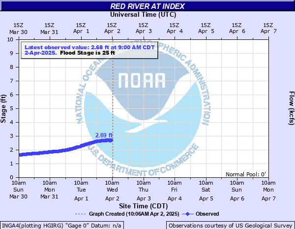
Red River at Index
Critical Stages
19.5' - Action
25' - Flood
26' - Moderate
28' - Major
Latest Observation
Updated: 5:00 PM CST 12/6/25
Status: No Flooding
Stage: 0.22 ft
Flow: 1.17 kcfs
Forecast
Forecast not available for this location.
| Time | Stage (ft) | Flow (kcfs) |
|---|---|---|
| 6:00 PM 12/6 | 0.22 | 1.17 |
| 5:45 PM 12/6 | 0.22 | 1.17 |
| 5:30 PM 12/6 | 0.22 | 1.17 |
| 5:15 PM 12/6 | 0.22 | 1.17 |
| 5:00 PM 12/6 | 0.22 | 1.17 |
| 4:45 PM 12/6 | 0.22 | 1.17 |
| 4:30 PM 12/6 | 0.23 | 1.2 |
| 4:15 PM 12/6 | 0.23 | 1.2 |
| 4:00 PM 12/6 | 0.23 | 1.2 |
| 3:45 PM 12/6 | 0.23 | 1.2 |
| 3:30 PM 12/6 | 0.23 | 1.2 |
| 3:15 PM 12/6 | 0.23 | 1.2 |
| 3:00 PM 12/6 | 0.23 | 1.2 |
| 2:45 PM 12/6 | 0.23 | 1.2 |
| 2:30 PM 12/6 | 0.23 | 1.2 |
| 2:15 PM 12/6 | 0.23 | 1.2 |
| 2:00 PM 12/6 | 0.23 | 1.2 |
| 1:45 PM 12/6 | 0.23 | 1.2 |
| 1:30 PM 12/6 | 0.23 | 1.2 |
| 1:15 PM 12/6 | 0.23 | 1.2 |
| 1:00 PM 12/6 | 0.23 | 1.2 |
| 12:45 PM 12/6 | 0.23 | 1.2 |
| 12:30 PM 12/6 | 0.23 | 1.2 |
| 12:15 PM 12/6 | 0.23 | 1.2 |
| 12:00 PM 12/6 | 0.23 | 1.2 |
| 11:45 AM 12/6 | 0.23 | 1.2 |
| 11:30 AM 12/6 | 0.23 | 1.2 |
| 11:15 AM 12/6 | 0.23 | 1.2 |
| 11:00 AM 12/6 | 0.24 | 1.22 |
| 10:45 AM 12/6 | 0.24 | 1.22 |
34.25' -
Record flooding of tens of thousands of acres will take place.
32' -
Expect widespread inundation of thousand of acres of farmland between and near levees.
31.5' -
A 24 hour flood watch will commence at the Index bridge on U.S. highway 71. The bridge is in danger of being overtopped.
29' -
General inundation of farm and grazing lowlands will occur. Ranchers should have completed evacuation of cattle and equipment to higher ground. Expect water to creep well up on levee systems.
27.5' -
U.S. Highway 71 Red River bridge closed.
27' -
General inundation of farm and grazing lowlands will occur. Ranchers should have completed evacuation of cattle and equipment to higher ground. U.S. Highway 71 approaches overflow next to the weigh station with the bridge very likely closed.
26.5' -
Water begins to overflow the approaches next to the weigh station at U.S. Highway 71 with the bridge threatened with closure.
26' -
Water begins to overflow the approaches next to the weigh station at U.S. Highway 71 with the bridge threatened with closure. Also high water overflows the north approches to the bridge on the southbound lanes.
25' -
Considerable flooding of lowland farm and grazing land will take place. Ranchers should move cattle and equipment to higher ground.
24' -
The Red River is at bankfull with some minor flooding of low pastures. Ranchers are advised to move cattle to higher ground.
19.5' -
Considerable backwater flooding will take place on Walnut Bayou at its confluence with the Red River to near Tom, Oklahoma.
| Date | Stage (ft) |
|---|---|
| Feb 23, 1938 | 34.4 |
| May 10, 1990 | 32.3 |
| Jun 4, 2015 | 31.41 |
| May 25, 1935 | 31.1 |
| Apr 23, 1927 | 30.8 |
| May 1, 1942 | 30.4 |
| Jun 8, 1957 | 29.23 |
| Jun 16, 1941 | 28.3 |
| Apr 1, 1945 | 28.05 |
| May 21, 1920 | 27.6 |
| Apr 2, 1938 | 27.55 |
| Dec 25, 1926 | 27.5 |
| Feb 21, 1932 | 27.4 |
| May 29, 1957 | 27.27 |
| Apr 30, 1957 | 27.27 |
| May 21, 1929 | 27.2 |
| May 21, 1930 | 27.2 |
| May 14, 1920 | 27 |
| Dec 18, 1923 | 27 |
| Nov 27, 1932 | 27 |
Data provided by the National Weather Service.