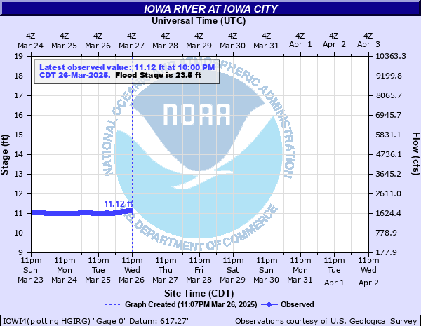
Iowa River at Iowa City
Critical Stages
21' - Action
23.5' - Flood
24.5' - Moderate
26' - Major
Latest Observation
Updated: 5:00 PM CST 12/15/25
Status: No Flooding
Stage: 9.89 ft
Flow: 0.599 kcfs
Forecast
Forecast not available for this location.
| Time | Stage (ft) | Flow (kcfs) |
|---|---|---|
| 5:00 PM 12/15 | 9.89 | 0.599 |
| 4:45 PM 12/15 | 9.89 | 0.599 |
| 4:30 PM 12/15 | 9.9 | 0.606 |
| 4:15 PM 12/15 | 9.9 | 0.606 |
| 4:00 PM 12/15 | 9.91 | 0.613 |
| 3:45 PM 12/15 | 9.92 | 0.62 |
| 3:30 PM 12/15 | 9.92 | 0.62 |
| 3:15 PM 12/15 | 9.93 | 0.627 |
| 3:00 PM 12/15 | 9.93 | 0.627 |
| 2:45 PM 12/15 | 9.94 | 0.634 |
| 2:30 PM 12/15 | 9.94 | 0.634 |
| 2:15 PM 12/15 | 9.95 | 0.642 |
| 2:00 PM 12/15 | 9.96 | 0.649 |
| 1:45 PM 12/15 | 9.96 | 0.649 |
| 1:30 PM 12/15 | 9.97 | 0.656 |
| 1:15 PM 12/15 | 9.97 | 0.656 |
| 1:00 PM 12/15 | 9.98 | 0.664 |
| 12:45 PM 12/15 | 9.98 | 0.664 |
| 12:30 PM 12/15 | 9.99 | 0.671 |
| 12:15 PM 12/15 | 9.99 | 0.671 |
| 12:00 PM 12/15 | 10 | 0.679 |
| 11:45 AM 12/15 | 10 | 0.679 |
| 11:30 AM 12/15 | 10 | 0.679 |
| 11:15 AM 12/15 | 10 | 0.679 |
| 11:00 AM 12/15 | 10.01 | 0.686 |
| 10:45 AM 12/15 | 10.01 | 0.686 |
| 10:30 AM 12/15 | 10.01 | 0.686 |
| 10:15 AM 12/15 | 10.01 | 0.686 |
| 10:00 AM 12/15 | 10.01 | 0.686 |
| 9:45 AM 12/15 | 10.01 | 0.686 |
29' -
Serious flood damage occurs at the University of Iowa campus.
27' -
Flood protection becomes necessary at the University of Iowa. Water affects several industrial businesses and warehouses along Commercial Drive.
26.5' -
Normandy Drive residences are evacuated.
26' -
Major Flood Stage. Idylwild Road in Iowa City is affected. Areas of the University of Iowa campus are inundated with flood waters. Approaches to county road bridges along the river are flooded. Streets and parking lots along Commercial Drive are affected.
24.5' -
Moderate Flood Stage. Taft Speedway closes. Normandy Drive is affected by flood waters.
23.5' -
Flood Stage. Stevens Drive is inundated by flood waters. Sidewalks near Iowa Memorial Union on the University of Iowa campus are inundated. Izaak Walton Road and Sand Road are both flooded. Flood waters impact properties off Taft Speedway in Iowa City.
21' -
Taft Speedway by Terrill Mill Park Road closes due to flood waters. Crandic Park off of Rocky Shore Drive is flooded. Lower City Park floods and closes as water is over the roadway and trails.
19' -
Portions of trails in Lower City Park are closed due to flood waters.
17.5' -
Some low lying trails along the river become inundated and are closed to pedestrian use.
| Date | Stage (ft) |
|---|---|
| Jun 15, 2008 | 31.53 |
| Aug 10, 1993 | 28.52 |
| Jul 12, 2014 | 25.15 |
| Jun 5, 2013 | 24.9 |
| Jun 1, 1851 | 24.1 |
| Jun 13, 1991 | 23.35 |
| Oct 6, 2018 | 23.23 |
| Jun 9, 1974 | 22.44 |
| May 1, 1973 | 22.04 |
| Mar 29, 1979 | 21.64 |
| Mar 4, 1985 | 21.5 |
| Apr 9, 1975 | 21.5 |
| Jun 15, 1982 | 21.44 |
| Jun 30, 1986 | 21.22 |
| Jul 17, 1881 | 21.1 |
| Feb 21, 1997 | 20.91 |
| Apr 26, 1983 | 20.72 |
| Mar 1, 1984 | 20.68 |
| Mar 20, 2001 | 20.53 |
| Apr 9, 1998 | 20.36 |
Data provided by the National Weather Service.