« Back to Center Lovell Rivers
Saco River near Conway
Critical Stages
7' - Action
9' - Flood
12.5' - Moderate
16' - Major
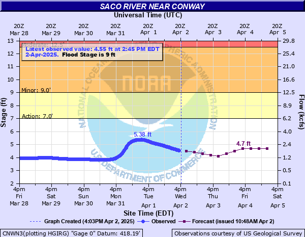
Latest Observation
Updated: 2:45 PM EST 12/5/25
Status: No Flooding
Stage: 2.8 ft
Flow: 0.359 kcfs
Forecast
| Time | Stage (ft) | Flow (kcfs) |
|---|---|---|
| 7 PM 12/5 | 2.9 | 0.406 |
| 1 AM 12/6 | 2.9 | 0.406 |
| 7 AM 12/6 | 2.9 | 0.406 |
| 1 PM 12/6 | 2.9 | 0.406 |
| 7 PM 12/6 | 2.9 | 0.406 |
| 1 AM 12/7 | 2.9 | 0.406 |
| 7 AM 12/7 | 2.9 | 0.406 |
| 1 PM 12/7 | 2.9 | 0.406 |
| 7 PM 12/7 | 2.8 | 0.359 |
| 1 AM 12/8 | 2.8 | 0.359 |
| 7 AM 12/8 | 2.8 | 0.359 |
| Time | Stage (ft) | Flow (kcfs) |
|---|---|---|
| 2:45 PM 12/5 | 2.8 | 0.359 |
| 2:30 PM 12/5 | 2.8 | 0.359 |
| 2:15 PM 12/5 | 2.8 | 0.359 |
| 2:00 PM 12/5 | 2.8 | 0.359 |
| 1:45 PM 12/5 | 2.8 | 0.359 |
| 1:30 PM 12/5 | 2.79 | 0.354 |
| 1:15 PM 12/5 | 2.78 | 0.35 |
| 1:00 PM 12/5 | 2.76 | 0.341 |
| 12:45 PM 12/5 | 2.74 | 0.332 |
| 12:30 PM 12/5 | 2.72 | 0.323 |
| 12:15 PM 12/5 | 2.71 | 0.319 |
| 12:00 PM 12/5 | 2.7 | 0.315 |
| 11:45 AM 12/5 | 2.7 | 0.315 |
| 11:30 AM 12/5 | 2.71 | 0.319 |
| 11:15 AM 12/5 | 2.72 | 0.323 |
| 11:00 AM 12/5 | 2.72 | 0.323 |
| 10:45 AM 12/5 | 2.71 | 0.319 |
| 10:30 AM 12/5 | 2.71 | 0.319 |
| 10:15 AM 12/5 | 2.71 | 0.319 |
| 10:00 AM 12/5 | 2.72 | 0.323 |
| 9:45 AM 12/5 | 2.72 | 0.323 |
| 9:30 AM 12/5 | 2.73 | 0.328 |
| 9:15 AM 12/5 | 2.74 | 0.332 |
| 9:00 AM 12/5 | 2.75 | 0.336 |
| 8:45 AM 12/5 | 2.76 | 0.341 |
| 8:30 AM 12/5 | 2.77 | 0.345 |
| 8:15 AM 12/5 | 2.79 | 0.354 |
| 8:00 AM 12/5 | 2.8 | 0.359 |
| 7:45 AM 12/5 | 2.82 | 0.368 |
| 7:30 AM 12/5 | 2.84 | 0.377 |
21' -
Very serious flooding with inundation near the FEMA 0.2 percent flood level. The Saco River valley could suffer worse damages than from the floods of Hurricane Irene in 2011 by several feet. Access in and out of the region is very difficult with homes surrounded by floodwaters for days.
17' -
Severe flooding with inundation near the FEMA 1 percent flood level. The floodwaters will be as high as the flood which occurred in Hurricane Irene in 2011, and almost 2 feet higher than the flood crest which occurred on October 30, 2017. Widespread flood levels varying up to 12 feet in depth will cover campgrounds and agricultural lands along the river. In Conway, Hillside Avenue, Washington Street, and East Side Drive flood. This is an extremely dangerous and life threatening situation.
16' -
Significant flooding along the Saco River. Hundreds of homes surrounded or isolated by floodwaters and travel in and out of the area is difficult.
15' -
Major flooding occurs in Conway and North Conway. Flood waters come up to properties off West Side Road in Conway Village. Transvale Acres severely impacted with flood water several feet deep. Permanent buildings on area campgrounds become flooded.
14' -
Widespread flooding occurs along the west bank of the Saco River near Moat Brook Road, cutting off access to some homes. Flood waters enter agricultural lands in eastern Conway and into Freyburg.
13' -
Flooding occurs on West Side Road in two sections, cutting off access to hundreds of homes. River Road flooded on the west bank impacting agricultural lands. Floodwaters inundate first floors of properties in Transvale Acres. This is a dangerous situation at riverside campgrounds.
12' -
Minor flooding occurs as floodwaters reach West Side Road. Much of Transvale Acres floods from Moat Brook Bridge east to the Saco River. Numerous structures become flooded with buildings on campgrounds flooded by several feet. Campers should move to higher grounds.
11' -
Flood waters 2 to 3 feet deep at east bank camping areas.
10' -
Minor flooding occurs as floodwaters surround properties across Transvale Acres. Flood waters 1 to 2 feet deep in sections of east bank camping areas.
9' -
Expect flooding of low-bottom fields and private roads in Conway and North Conway. Minor flooding in Transvale Acres, Moat Brook Bridge, and the lower part of E. Road flood.
8' -
Flooding begins along the east bank campgrounds in Conway and North Conway. Campers along the river should move to higher ground.
7' -
Minor flooding as Moat Brook backs up and floods Transvale Road, cutting off access to a dozen homes and camps. Beaches at area camps flooded.
6' -
Faster flows along the river are expected but no flooding occurs. Interests near the river should continue to monitor later forecasts. High risks for recreational paddlers.
4.5' -
Faster flows along the river are expected but no flooding occurs. Interests near the river should continue to monitor later forecasts. High risks for recreational paddlers.
| Date | Stage (ft) |
|---|---|
| Dec 19, 2023 | 17.71 |
| Aug 29, 2011 | 17.23 |
| Mar 27, 1953 | 17.2 |
| Apr 1, 1987 | 17.04 |
| Mar 19, 1936 | 16.45 |
| Oct 24, 1959 | 16.39 |
| Mar 14, 1977 | 15.61 |
| Jun 30, 1973 | 15.06 |
| Oct 30, 2017 | 15.04 |
| Jun 14, 1998 | 14.67 |
| Mar 12, 1936 | 14.33 |
| Nov 26, 1950 | 13.84 |
| Jan 28, 1986 | 13.73 |
| Apr 25, 1968 | 13.65 |
| May 1, 2023 | 13.6 |
| Nov 3, 1966 | 13.46 |
| Nov 12, 1995 | 13.35 |
| Apr 27, 1979 | 13.25 |
| Apr 16, 2014 | 13.13 |
| Dec 21, 1973 | 13.06 |
Data provided by the National Weather Service.