« Back to Charlton County Rivers
St. Marys River near Macclenny
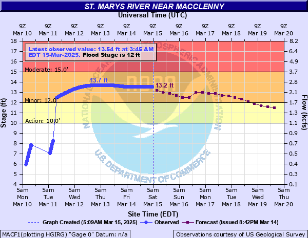
Critical Stages
10' - Action
12' - Flood
15' - Moderate
19' - Major
Latest Observation
Updated: 10:45 PM EST 12/4/25
Status: No Flooding
Stage: 2.02 ft
Flow: 0.0105 kcfs
Forecast
Forecast not available for this location.
| Time | Stage (ft) | Flow (kcfs) |
|---|---|---|
| 11:45 PM 12/4 | 2.02 | 0.0105 |
| 11:30 PM 12/4 | 2.02 | 0.0105 |
| 11:15 PM 12/4 | 2.02 | 0.0105 |
| 11:00 PM 12/4 | 2.02 | 0.0105 |
| 10:45 PM 12/4 | 2.02 | 0.0105 |
| 10:30 PM 12/4 | 2.02 | 0.0105 |
| 10:15 PM 12/4 | 2.02 | 0.0105 |
| 10:00 PM 12/4 | 2.02 | 0.0105 |
| 9:45 PM 12/4 | 2.02 | 0.0105 |
| 9:30 PM 12/4 | 2.02 | 0.0105 |
| 9:15 PM 12/4 | 2.02 | 0.0105 |
| 9:00 PM 12/4 | 2.02 | 0.0105 |
| 8:45 PM 12/4 | 2.02 | 0.0105 |
| 8:30 PM 12/4 | 2.02 | 0.0105 |
| 8:15 PM 12/4 | 2.02 | 0.0105 |
| 8:00 PM 12/4 | 2.02 | 0.0105 |
| 7:45 PM 12/4 | 2.02 | 0.0105 |
| 7:30 PM 12/4 | 2.02 | 0.0105 |
| 7:15 PM 12/4 | 2.02 | 0.0105 |
| 7:00 PM 12/4 | 2.02 | 0.0105 |
| 6:45 PM 12/4 | 2.02 | 0.0105 |
| 6:30 PM 12/4 | 2.02 | 0.0105 |
| 6:15 PM 12/4 | 2.02 | 0.0105 |
| 6:00 PM 12/4 | 2.02 | 0.0105 |
| 5:45 PM 12/4 | 2.02 | 0.0105 |
| 5:30 PM 12/4 | 2.02 | 0.0105 |
| 5:15 PM 12/4 | 2.02 | 0.0105 |
| 5:00 PM 12/4 | 2.02 | 0.0105 |
| 4:45 PM 12/4 | 2.02 | 0.0105 |
| 4:30 PM 12/4 | 2.02 | 0.0105 |
20' -
High banks on the Florida side begin to overflow. Trailers and houses along the river in Baker County are endangered. Trailers and houses on the Georgia side near Stokesville are endangered.
17' -
High water on the river reaches the bottom of the Stokes Road Bridge.
16' -
Access roads on both sides of the river in Florida and Georgia are flooded, including the entire low lying stretch of St. Mary's River Bluff Road on the Georgia side which cuts off 40 to 50 homes. On the Florida side, the lower end of St. Mary's Cove Road past the public boat ramp becomes flooded and cuts off access to 20 to 30 homes. The Stokes Road Bridge over the river is generally closed due to high water.
15' -
Flooding begins to impact the lower end of Steel Bridge Road on the Florida side and cuts off access to the river gage as well as access to several homes.
14' -
Flooding of bottomlands along the river and some lower access roads including the lower half of St. Mary's River Bluff Road which cuts off 15 to 20 homes on the Georgia side.
12' -
Minor flooding of low lying areas and timber lands including some properties along St. Mary's River Bluff Road and the Cypress Landing Resort on the Georgia side.
| Date | Stage (ft) |
|---|---|
| Jun 28, 2012 | 24.38 |
| Sep 13, 1964 | 23.25 |
| Apr 5, 1973 | 22.86 |
| Sep 12, 2017 | 22.32 |
| Sep 25, 1947 | 22.29 |
| Apr 3, 1948 | 21.97 |
| Sep 7, 1950 | 21.96 |
| Sep 20, 1928 | 21.9 |
| Oct 22, 1950 | 21.23 |
| Aug 24, 2008 | 21.14 |
| Sep 8, 2004 | 21.06 |
| May 4, 1964 | 20.64 |
| Mar 31, 1970 | 19.88 |
| Oct 4, 1992 | 19.81 |
| Oct 26, 1947 | 19.72 |
| Aug 7, 2024 | 19.71 |
| Feb 19, 1998 | 19.69 |
| Oct 21, 1944 | 19.67 |
| Oct 8, 1996 | 19.62 |
| Mar 11, 1948 | 18.96 |
Data provided by the National Weather Service.