« Back to Chenango Lake Rivers
West Branch Delaware River at Hale Eddy
Critical Stages
9' - Action
11' - Flood
13' - Moderate
15' - Major
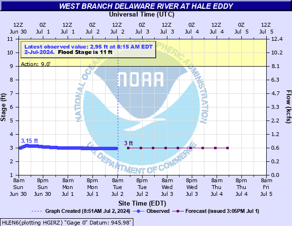
Latest Observation
Updated: 9:45 AM EST 12/11/25
Status: No Flooding
Stage: 2.12 ft
Flow: 0.243 kcfs
Forecast
| Time | Stage (ft) | Flow (kcfs) |
|---|---|---|
| 1 PM 12/11 | 2.1 | 0.237 |
| 7 PM 12/11 | 2.1 | 0.237 |
| 1 AM 12/12 | 2.1 | 0.237 |
| 7 AM 12/12 | 2.1 | 0.237 |
| 1 PM 12/12 | 2.1 | 0.237 |
| 7 PM 12/12 | 2.1 | 0.237 |
| 1 AM 12/13 | 2.1 | 0.237 |
| 7 AM 12/13 | 2.1 | 0.237 |
| 1 PM 12/13 | 2.1 | 0.237 |
| 7 PM 12/13 | 2.1 | 0.237 |
| 1 AM 12/14 | 2.1 | 0.237 |
| 7 AM 12/14 | 2.1 | 0.237 |
| Time | Stage (ft) | Flow (kcfs) |
|---|---|---|
| 10:45 AM 12/11 | 2.12 | 0.243 |
| 10:30 AM 12/11 | 2.12 | 0.243 |
| 10:15 AM 12/11 | 2.12 | 0.243 |
| 10:00 AM 12/11 | 2.12 | 0.243 |
| 9:45 AM 12/11 | 2.12 | 0.243 |
| 9:30 AM 12/11 | 2.12 | 0.243 |
| 9:15 AM 12/11 | 2.12 | 0.243 |
| 9:00 AM 12/11 | 2.12 | 0.243 |
| 8:45 AM 12/11 | 2.12 | 0.243 |
| 8:30 AM 12/11 | 2.12 | 0.243 |
| 8:15 AM 12/11 | 2.12 | 0.243 |
| 8:00 AM 12/11 | 2.12 | 0.243 |
| 7:45 AM 12/11 | 2.12 | 0.243 |
| 7:30 AM 12/11 | 2.12 | 0.243 |
| 7:15 AM 12/11 | 2.12 | 0.243 |
| 7:00 AM 12/11 | 2.12 | 0.243 |
| 6:45 AM 12/11 | 2.12 | 0.243 |
| 6:30 AM 12/11 | 2.12 | 0.243 |
| 6:15 AM 12/11 | 2.12 | 0.243 |
| 6:00 AM 12/11 | 2.12 | 0.243 |
| 5:45 AM 12/11 | 2.12 | 0.243 |
| 5:30 AM 12/11 | 2.12 | 0.243 |
| 5:15 AM 12/11 | 2.12 | 0.243 |
| 5:00 AM 12/11 | 2.12 | 0.243 |
| 4:45 AM 12/11 | 2.13 | 0.246 |
| 4:30 AM 12/11 | 2.13 | 0.246 |
| 4:15 AM 12/11 | 2.13 | 0.246 |
| 4:00 AM 12/11 | 2.13 | 0.246 |
| 3:45 AM 12/11 | 2.13 | 0.246 |
| 3:30 AM 12/11 | 2.13 | 0.246 |
24.4' -
FEMA flood insurance maps indicate that a river level of 24.4 feet corresponds to the water elevation associated with the 0.2 percent (500 year) flood zone. If your property is determined to be in this zone, then it is at a high risk for flooding during a record flood event. This magnitude of flooding has a 0.2 percent chance of occurring in any year.
20.3' -
This level is the all-time, historic flood of record before the existence of the stream gauge at this location. The flood occurred on October 9, 1903, and is commonly known as the Pumpkin Flood.
19.1' -
This level is the modern day record flood of June 2006. Widespread flooding occurred from Cannonsville Dam to Hancock with catastrophic property and infrastructure damages.
16.8' -
FEMA flood insurance maps indicate that a river level of 16.8 feet corresponds to the water elevation associated with the 1 percent (100 year) flood zone. If your property is determined to be in this zone, then it is at a high risk for flooding during major floods. This magnitude of flooding has a 1 percent chance of occurring in any year.
15' -
Major Flood Stage. Above 15 feet, riverside campgrounds and resorts are flooded. River water crosses portions of River Road, Faulkner Road and Sherman Creek Road. Some homes in the area are flooded. In Hancock, river water spreads across S. Pennsylvania Avenue, and affects portions of Old State Road and W. Main Street near Exit 87 off Route 17. There is also considerable backwater flooding in the Village along Sands Creek and Shehawken Creek.
13' -
Moderate Flood Stage. Between 13 and 15 feet, flooding of farm lands adjacent to the river intensifies. River water encroaches onto properties along parts of River Road and Sherman Creek Road. Winterdale Road and River Road in Hancock are flooded.
11' -
Minor Flood Stage. Between 11 and 13 feet, minor flooding of farm lands adjacent to the river begins. River flooding affects Winterdale Road and River road in the Village of Hancock.
| Date | Stage (ft) |
|---|---|
| Oct 10, 1903 | 20.3 |
| Jun 28, 2006 | 19.1 |
| Sep 30, 1924 | 15.8 |
| Mar 22, 1948 | 15.7 |
| Sep 22, 1938 | 15.6 |
| Mar 27, 1913 | 15.3 |
| Feb 16, 1939 | 15.24 |
| Mar 9, 1950 | 15.15 |
| Mar 17, 1923 | 15 |
| Mar 31, 1940 | 14.97 |
| Dec 30, 1942 | 14.95 |
| Sep 8, 2011 | 14.71 |
| Mar 28, 1914 | 14.6 |
| May 23, 1942 | 14.52 |
| Feb 12, 1925 | 14.3 |
| Mar 18, 1936 | 14.22 |
| Apr 3, 2005 | 14.12 |
| Mar 12, 1936 | 13.97 |
| Jan 22, 1959 | 13.96 |
| Jul 8, 1915 | 13.9 |
Data provided by the National Weather Service.