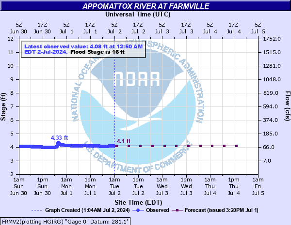
Appomattox River at Farmville
Critical Stages
12' - Action
16' - Flood
20' - Moderate
25' - Major
Latest Observation
Updated: 2:50 AM EST 12/6/25
Status: No Flooding
Stage: 4.76 ft
Flow: 0.132 kcfs
Forecast
| Time | Stage (ft) | Flow (kcfs) |
|---|---|---|
| 7 AM 12/6 | 4.7 | 0.125 |
| 1 PM 12/6 | 4.6 | 0.113 |
| 7 PM 12/6 | 4.6 | 0.113 |
| 1 AM 12/7 | 4.6 | 0.113 |
| 7 AM 12/7 | 4.6 | 0.113 |
| 1 PM 12/7 | 4.6 | 0.113 |
| 7 PM 12/7 | 4.6 | 0.113 |
| 1 AM 12/8 | 4.7 | 0.125 |
| 7 AM 12/8 | 4.7 | 0.125 |
| Time | Stage (ft) | Flow (kcfs) |
|---|---|---|
| 2:50 AM 12/6 | 4.76 | 0.132 |
| 2:45 AM 12/6 | 4.76 | 0.132 |
| 2:40 AM 12/6 | 4.77 | 0.133 |
| 2:35 AM 12/6 | 4.76 | 0.132 |
| 2:30 AM 12/6 | 4.77 | 0.133 |
| 2:25 AM 12/6 | 4.77 | 0.133 |
| 2:20 AM 12/6 | 4.77 | 0.133 |
| 2:15 AM 12/6 | 4.76 | 0.132 |
| 2:10 AM 12/6 | 4.76 | 0.132 |
| 2:05 AM 12/6 | 4.76 | 0.132 |
| 2:00 AM 12/6 | 4.77 | 0.133 |
| 1:55 AM 12/6 | 4.77 | 0.133 |
| 1:50 AM 12/6 | 4.77 | 0.133 |
| 1:45 AM 12/6 | 4.77 | 0.133 |
| 1:40 AM 12/6 | 4.77 | 0.133 |
| 1:35 AM 12/6 | 4.77 | 0.133 |
| 1:30 AM 12/6 | 4.77 | 0.133 |
| 1:25 AM 12/6 | 4.77 | 0.133 |
| 1:20 AM 12/6 | 4.77 | 0.133 |
| 1:15 AM 12/6 | 4.77 | 0.133 |
| 1:10 AM 12/6 | 4.77 | 0.133 |
| 1:05 AM 12/6 | 4.77 | 0.133 |
| 1:00 AM 12/6 | 4.77 | 0.133 |
| 12:55 AM 12/6 | 4.77 | 0.133 |
| 12:50 AM 12/6 | 4.77 | 0.133 |
| 12:45 AM 12/6 | 4.77 | 0.133 |
| 12:40 AM 12/6 | 4.77 | 0.133 |
| 12:35 AM 12/6 | 4.77 | 0.133 |
| 12:30 AM 12/6 | 4.77 | 0.133 |
| 12:25 AM 12/6 | 4.77 | 0.133 |
30' -
River stage sensor operating limit
29.7' -
Flood of record
27.58' -
Height of the "50-year" flood
26.7' -
Instrument shelf elevation
25' -
Water enters the parking lot of the Riverside Cafe located on Main Street, about 300 ft south of the river.
21.5' -
North Main Street is flooded near the Riverside Lot at Elm Street. Water reaches the steps to the warehouses on Elm Street.
20' -
South Street, Depot Street and East Second Steet are flooded and impassable near Gross Creek. River Road and North Virginia Street are closed and impassable. Water reaches the structures and business along Plank Road near Main Street and also the Appomattox River Company building.
18' -
River Rd downstream of the gage near the railroad bridge begins to flood.
16' -
Water approaches back of homes on Old Plank Rd, upstream of gage. The Riverside Lot at Elm Street and North Main Street begins to flood.
| Date | Stage (ft) |
|---|---|
| Jun 22, 1972 | 29.7 |
| Sep 7, 1996 | 24.02 |
| Aug 15, 1940 | 23.6 |
| Nov 13, 2020 | 23.3 |
| Aug 10, 2024 | 21.93 |
| Feb 25, 1979 | 21.79 |
| May 19, 2018 | 21.22 |
| Jan 26, 1978 | 21.19 |
| Aug 12, 1928 | 21.1 |
| Sep 20, 1944 | 21 |
| Oct 24, 1971 | 20.99 |
| Sep 26, 1975 | 20.9 |
| Oct 26, 1974 | 20.9 |
| Sep 19, 1945 | 20.9 |
| Nov 29, 1993 | 20.79 |
| Mar 5, 1993 | 20.78 |
| Oct 12, 2018 | 20.59 |
| Apr 27, 1978 | 20.47 |
| Apr 26, 1937 | 20.28 |
| Nov 5, 1985 | 20.03 |
Data provided by the National Weather Service.