« Back to Chula Vista Colonia Rivers
Nueces River below Uvalde
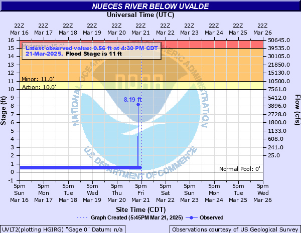
Critical Stages
10' - Action
11' - Flood
15' - Moderate
17' - Major
Latest Observation
Updated: 6:30 AM CST 12/16/25
Status: No Flooding
Stage: 1.68 ft
Flow: 0.0027 kcfs
Forecast
Forecast not available for this location.
| Time | Stage (ft) | Flow (kcfs) |
|---|---|---|
| 6:30 AM 12/16 | 1.68 | 0.0027 |
| 6:15 AM 12/16 | 1.68 | 0.0027 |
| 6:00 AM 12/16 | 1.68 | 0.0027 |
| 5:45 AM 12/16 | 1.67 | 0.0026 |
| 5:30 AM 12/16 | 1.68 | 0.0027 |
| 5:15 AM 12/16 | 1.67 | 0.0026 |
| 5:00 AM 12/16 | 1.67 | 0.0026 |
| 4:45 AM 12/16 | 1.67 | 0.0026 |
| 4:30 AM 12/16 | 1.67 | 0.0026 |
| 4:15 AM 12/16 | 1.67 | 0.0026 |
| 4:00 AM 12/16 | 1.67 | 0.0026 |
| 3:45 AM 12/16 | 1.67 | 0.0026 |
| 3:30 AM 12/16 | 1.67 | 0.0026 |
| 3:15 AM 12/16 | 1.67 | 0.0026 |
| 3:00 AM 12/16 | 1.67 | 0.0026 |
| 2:45 AM 12/16 | 1.67 | 0.0026 |
| 2:30 AM 12/16 | 1.67 | 0.0026 |
| 2:15 AM 12/16 | 1.67 | 0.0026 |
| 2:00 AM 12/16 | 1.67 | 0.0026 |
| 1:45 AM 12/16 | 1.67 | 0.0026 |
| 1:30 AM 12/16 | 1.67 | 0.0026 |
| 1:15 AM 12/16 | 1.67 | 0.0026 |
| 1:00 AM 12/16 | 1.67 | 0.0026 |
| 12:45 AM 12/16 | 1.67 | 0.0026 |
| 12:30 AM 12/16 | 1.67 | 0.0026 |
| 12:15 AM 12/16 | 1.67 | 0.0026 |
| 12:00 AM 12/16 | 1.67 | 0.0026 |
| 11:45 PM 12/15 | 1.67 | 0.0026 |
| 11:30 PM 12/15 | 1.67 | 0.0026 |
| 11:15 PM 12/15 | 1.67 | 0.0026 |
25' -
Residents of many low lying homes in Crystal City flood in less than a day from a crest in Uvalde. Roads and bridges are damaged above Barksdale to below Carrizo Springs. Flow ranges from one half mile to four miles wide in the flood plain, trapping livestock and destroying equipment in the flood plain.
23' -
Disastrous widespread lowland flooding reaches several homes in Crystal City. Roads, fencing, and any improvements in the flood plain are damaged. Flow is generally 1/2 mile wide in the flood plain and livestock should be moved from vulnerable areas.
21' -
Lowest homes downstream in the east edge of Crystal City flood. Numerous secondary roads and low bridges are extremely dangerous to motorists above Barksdale to below Carrizo Springs. Livestock are cut off and equipment destroyed in the flood plain from the headwaters to below Tilden with massive damage to fencing and secondary roads.
17' -
Major flooding extends well into the flood plain. Livestock in the flood plain should be moved to higher ground immediately. Highways 57, 65, 85, 190, and Farm to Market 1025 are flooded and closed. Fencing and roads are damaged.
15' -
Moderate flooding with livestock cut off and equipment destroyed in lowest areas of the flood plain. Secondary roads and low bridges are dangerous to auto traffic above Barksdale to below Carrizo Springs.
11' -
Minor lowland flooding nine miles southwest of Uvalde closes the Farm to Market 481 bridge floor. Livestock in the flood plain should be moved to higher ground.
10' -
Overbank flow nine miles southwest of Uvalde reaches the Farm to market 481 bridge floor and approaches.
| Date | Stage (ft) |
|---|---|
| Oct 28, 1996 | 24.88 |
| Sep 1, 1932 | 23.3 |
| Jul 13, 1939 | 19.3 |
| Oct 10, 2018 | 18.99 |
| Oct 16, 2018 | 18.91 |
| Jun 22, 1997 | 18.88 |
| May 29, 1987 | 16.54 |
| Nov 17, 2004 | 14.75 |
| Sep 16, 1991 | 14.33 |
| Apr 26, 1990 | 13.02 |
| Jul 2, 2002 | 12.98 |
| Aug 12, 2018 | 10.8 |
Data provided by the National Weather Service.