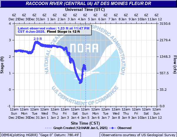
Raccoon River at Des Moines Fleur Dr
Critical Stages
8' - Action
12' - Flood
16' - Moderate
25' - Major
Latest Observation
Updated: 9:17 AM CST 12/9/25
Status: No Flooding
Stage: 2.54 ft
Flow: 1.16 kcfs
Forecast
Forecast not available for this location.
| Time | Stage (ft) | Flow (kcfs) |
|---|---|---|
| 9:17 AM 12/9 | 2.54 | 1.16 |
| 9:02 AM 12/9 | 2.56 | 1.17 |
| 8:47 AM 12/9 | 2.61 | 1.21 |
| 8:32 AM 12/9 | 2.64 | 1.23 |
| 8:17 AM 12/9 | 2.68 | 1.26 |
| 8:02 AM 12/9 | 2.71 | 1.28 |
| 7:47 AM 12/9 | 2.76 | 1.32 |
| 7:32 AM 12/9 | 2.79 | 1.34 |
| 7:17 AM 12/9 | 2.8 | 1.35 |
| 7:02 AM 12/9 | 2.83 | 1.38 |
| 6:47 AM 12/9 | 2.81 | 1.36 |
| 6:32 AM 12/9 | 2.84 | 1.38 |
| 6:17 AM 12/9 | 2.83 | 1.38 |
| 6:02 AM 12/9 | 2.85 | 1.39 |
| 5:32 AM 12/9 | 2.86 | 1.4 |
| 5:17 AM 12/9 | 2.85 | 1.39 |
| 4:32 AM 12/9 | 2.83 | 1.38 |
| 4:17 AM 12/9 | 2.84 | 1.38 |
| 4:02 AM 12/9 | 2.83 | 1.38 |
| 3:47 AM 12/9 | 2.82 | 1.37 |
| 3:32 AM 12/9 | 2.8 | 1.35 |
| 3:17 AM 12/9 | 2.81 | 1.36 |
| 3:02 AM 12/9 | 2.81 | 1.36 |
| 2:47 AM 12/9 | 2.8 | 1.35 |
| 2:32 AM 12/9 | 2.8 | 1.35 |
| 2:17 AM 12/9 | 2.81 | 1.36 |
| 2:02 AM 12/9 | 2.83 | 1.38 |
| 1:47 AM 12/9 | 2.84 | 1.38 |
| 1:32 AM 12/9 | 2.84 | 1.38 |
| 1:17 AM 12/9 | 2.84 | 1.38 |
31' -
This is the top of the levee surrounding Des Moines Water Works.
27.7' -
This is the top of the levee surrounding Valley Gardens.
22' -
The levee is closed across SW 22nd St under the Fleur Dr viaduct. Levee closures also occur across three driveways into Principal Park.
21' -
The levee is closed across 63rd St.
18.5' -
Water affects the maintenance buildings outside of the levee protection at Des Moines Water Works Park.
18' -
All the levee gates are closed in Water Works Park.
17.2' -
Water affects portions of Fleur Dr.
17' -
The levee is closed across George Flagg Parkway just west of Fleur Dr. Levee gates are closed west of SW 18th St at George Flagg Parkway and at the railroad tracks.
16.5' -
Water begins affecting Fleur Dr. Above this stage...water flows through Water Works Park south of the Water Works Buildings...cutting off a large meander bend in the river and diverting increasing amounts of stream flow away from the main river channel.
15.5' -
Water approaches Fleur Dr and affects the Grays Lake trails.
13.5' -
Water affects the low areas of Water Works Park.
13.3' -
SW 30th St is closed from George Flagg Parkway to Bell Ave. George Flagg Parkway is closed from SW 30th St to SW 28th St.
11.3' -
George Flagg Parkway is closed from Park Ave to SW 30th St.
9.5' -
Water impacts the lowest portions of the Bill Riley Trl.
| Date | Stage (ft) |
|---|---|
| Jul 11, 1993 | 26.8 |
| Jun 13, 2008 | 24.66 |
| Jun 26, 2015 | 21.54 |
| Jun 13, 1947 | 20.51 |
| Jun 16, 1998 | 20.45 |
| Mar 15, 2019 | 19.77 |
| May 24, 2004 | 19.45 |
| Jun 17, 1990 | 19.42 |
| Jul 2, 1986 | 19.38 |
| Apr 27, 2007 | 19.17 |
| Apr 2, 1960 | 19.11 |
| Dec 15, 2015 | 18.09 |
| Mar 18, 2010 | 17.92 |
| Jun 1, 2013 | 16.44 |
| May 31, 2013 | 16.43 |
| Jun 18, 1984 | 16.34 |
| Jul 1, 2018 | 16.33 |
| May 22, 1999 | 16.02 |
| Feb 22, 2001 | 15.59 |
| Dec 28, 2008 | 15.51 |
Data provided by the National Weather Service.