Neches River near Neches
Critical Stages
11.5' - Action
12' - Flood
18' - Moderate
24' - Major
Latest Observation
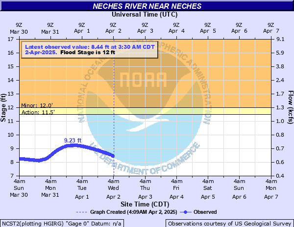
Updated: 6:30 PM CST 12/7/25
Status: No Flooding
Stage: 6 ft
Flow: 0.288 kcfs
Forecast
Forecast not available for this location.
| Time | Stage (ft) | Flow (kcfs) |
|---|---|---|
| 6:30 PM 12/7 | 6 | 0.288 |
| 6:15 PM 12/7 | 6 | 0.288 |
| 6:00 PM 12/7 | 6.01 | 0.289 |
| 5:45 PM 12/7 | 6.01 | 0.289 |
| 5:30 PM 12/7 | 6.01 | 0.289 |
| 5:15 PM 12/7 | 6.02 | 0.29 |
| 5:00 PM 12/7 | 6.02 | 0.29 |
| 4:45 PM 12/7 | 6.02 | 0.29 |
| 4:30 PM 12/7 | 6.03 | 0.291 |
| 4:15 PM 12/7 | 6.03 | 0.291 |
| 4:00 PM 12/7 | 6.03 | 0.291 |
| 3:45 PM 12/7 | 6.04 | 0.292 |
| 3:30 PM 12/7 | 6.04 | 0.292 |
| 3:15 PM 12/7 | 6.04 | 0.292 |
| 3:00 PM 12/7 | 6.04 | 0.292 |
| 2:45 PM 12/7 | 6.04 | 0.292 |
| 2:30 PM 12/7 | 6.04 | 0.292 |
| 2:15 PM 12/7 | 6.05 | 0.293 |
| 2:00 PM 12/7 | 6.05 | 0.293 |
| 1:45 PM 12/7 | 6.05 | 0.293 |
| 1:30 PM 12/7 | 6.05 | 0.293 |
| 1:15 PM 12/7 | 6.06 | 0.294 |
| 1:00 PM 12/7 | 6.06 | 0.294 |
| 12:45 PM 12/7 | 6.06 | 0.294 |
| 12:30 PM 12/7 | 6.06 | 0.294 |
| 12:15 PM 12/7 | 6.07 | 0.295 |
| 12:00 PM 12/7 | 6.06 | 0.294 |
| 11:45 AM 12/7 | 6.07 | 0.295 |
| 11:30 AM 12/7 | 6.07 | 0.295 |
| 11:15 AM 12/7 | 6.07 | 0.295 |
24' -
Severe flooding with several some secondary roadways flooded. Preparations should be completed for a major flood.
18' -
Expect moderate to severe flooding of river bottoms with some camps and access roads flooded.
14' -
Minor lowland flooding. Move livestock and equipment to higher ground away from the river.
12' -
Expect minor lowland flooding of the heavily wooded floodplain. Ranchers that may have livestock and equipment in the river bottoms should move them to higher ground. Expect minor flooding of the boat ramp.
| Date | Stage (ft) |
|---|---|
| May 3, 1884 | 25 |
| May 1, 1908 | 24.3 |
| Apr 2, 1945 | 22.07 |
| May 4, 1944 | 20.27 |
| May 13, 1968 | 19.46 |
| Mar 11, 2016 | 19.24 |
| May 19, 1989 | 19.12 |
| Jul 9, 2007 | 18.9 |
| Apr 29, 1966 | 18.82 |
| Mar 13, 2015 | 18.5 |
| May 1, 1958 | 18.45 |
| Dec 30, 2015 | 18.36 |
| Apr 12, 1942 | 18.3 |
| Dec 11, 1960 | 17.89 |
| May 1, 1957 | 17.8 |
| Jun 8, 1973 | 17.66 |
| Apr 30, 2016 | 17.54 |
| Feb 16, 1950 | 17.53 |
| May 19, 1953 | 17.4 |
| May 15, 2015 | 17.17 |
Data provided by the National Weather Service.