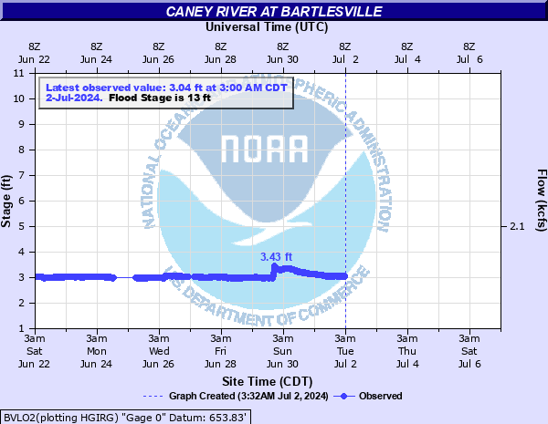
Caney River at Bartlesville
Critical Stages
13' - Action
13' - Flood
15' - Moderate
19' - Major
Latest Observation
Updated: 10:00 PM CST 12/14/25
Status: No Flooding
Stage: 3.13 ft
Flow: 0.0667 kcfs
Forecast
Forecast not available for this location.
| Time | Stage (ft) | Flow (kcfs) |
|---|---|---|
| 10:00 PM 12/14 | 3.13 | 0.0667 |
| 9:45 PM 12/14 | 3.13 | 0.0667 |
| 9:30 PM 12/14 | 3.13 | 0.0667 |
| 9:15 PM 12/14 | 3.13 | 0.0667 |
| 9:00 PM 12/14 | 3.13 | 0.0667 |
| 8:45 PM 12/14 | 3.13 | 0.0667 |
| 8:30 PM 12/14 | 3.12 | 0.0642 |
| 8:15 PM 12/14 | 3.12 | 0.0642 |
| 8:00 PM 12/14 | 3.13 | 0.0667 |
| 7:45 PM 12/14 | 3.13 | 0.0667 |
| 7:30 PM 12/14 | 3.13 | 0.0667 |
| 7:15 PM 12/14 | 3.13 | 0.0667 |
| 7:00 PM 12/14 | 3.13 | 0.0667 |
| 6:45 PM 12/14 | 3.13 | 0.0667 |
| 6:30 PM 12/14 | 3.12 | 0.0642 |
| 6:15 PM 12/14 | 3.12 | 0.0642 |
| 6:00 PM 12/14 | 3.12 | 0.0642 |
| 5:45 PM 12/14 | 3.13 | 0.0667 |
| 5:30 PM 12/14 | 3.13 | 0.0667 |
| 5:15 PM 12/14 | 3.13 | 0.0667 |
| 5:00 PM 12/14 | 3.12 | 0.0642 |
| 4:45 PM 12/14 | 3.12 | 0.0642 |
| 4:30 PM 12/14 | 3.12 | 0.0642 |
| 4:15 PM 12/14 | 3.12 | 0.0642 |
| 4:00 PM 12/14 | 3.13 | 0.0667 |
| 3:45 PM 12/14 | 3.12 | 0.0642 |
| 3:30 PM 12/14 | 3.12 | 0.0642 |
| 3:15 PM 12/14 | 3.09 | 0.057 |
| 3:00 PM 12/14 | 3.12 | 0.0642 |
| 2:45 PM 12/14 | 3.12 | 0.0642 |
23' -
devasting flooding occurs along the Caney River from Dewey to Ochelata. Many homes and businesses in Bartlesville and suburban areas are flooded. The Tuxedo Street bridge may be overtopped. This is an extremely dangerous and life threatening situation.
22' -
very severe flooding occurs along the Caney River from Dewey to Ochelata. Many homes and businesses become flooded. Only Frank Phillips Blvd is open to east-west travel across the Caney River in Bartlesville. This exceeds the flood of July 2, 2007 when the river reached 21.45 feet. This is an extremely dangerous and life threatening situation.
21' -
very severe flooding occurs from Dewey to Ochelata. Many homes and businesses in Bartlesville and suburban areas are flooded. Frank Phillips Blvd is the only east-west road across the Caney River in Bartlesville. This compares with the flooding which occurred on July 2, 2007 when the river reached 21.45 feet. This is an extremely dangerous and life threatening situation.
19' -
severe flooding occurs in Bartlesville and suburban areas. Tuxedo Blvd, Hillcrest Drive, and Adams Road are all be closed. Only Frank Phillips Blvd is open for east-west traffic across Bartlesville. Somes homes and businesses suffer minor flooding. This is an extremely dangerous and life threatening situation.
18' -
the old Highway 75 crossing or Tuxedo Blvd is closed. Hillcrest Drive is closed. Adams Road will close when the Caney River is between 18 and 19 feet. Buildings in Johnstone Park are flooded. Some businesses on Highway 123 may be flooded.
17' -
serious flooding occurs in Johnston Park and residential areas in Bartlesville. Tuxedo Blvd and Hillcrest Drive become impassable. Extensive agricultural flooding occurs from Bartlesville to Ochelata.
16' -
the old Highway 75 crossing or Tuxedo Blvd is closed. Hillcrest Drive may be impassable. Johnstone Park is flooded.
15' -
the old Highway 75 crossing or Tuxedo Blvd in Bartlesville becomes covered by water. Moderate flooding occurs at Johnston Park and over farmlands between Bartlesville and Ochelata.
13' -
minor flooding is expected over farmland from Bartlesville to Ochelata.
| Date | Stage (ft) |
|---|---|
| Oct 4, 1986 | 27.7 |
| Oct 3, 1926 | 25.3 |
| Apr 11, 1944 | 24.71 |
| May 19, 1943 | 23.4 |
| May 7, 1918 | 23.3 |
| Oct 3, 1927 | 22.2 |
| Apr 21, 1929 | 21.8 |
| Jul 2, 2007 | 21.57 |
| Oct 2, 1945 | 21.32 |
| Aug 4, 1927 | 21 |
| Mar 11, 1975 | 20.9 |
| Jul 21, 1950 | 19.9 |
| Jul 22, 1959 | 18.75 |
| Sep 30, 1985 | 18.25 |
| May 21, 2019 | 18.21 |
| May 28, 2019 | 17.83 |
| Aug 2, 1950 | 17.8 |
| Jul 2, 1951 | 17.6 |
| May 9, 1961 | 17.45 |
| Jun 12, 1957 | 17.3 |
Data provided by the National Weather Service.